GIS Mapping Tool for Urban Routine Immunization
Client:
John Snow India
Location:
Jaipur and Shillong, India


Client:
John Snow India
Location:
Jaipur and Shillong, India
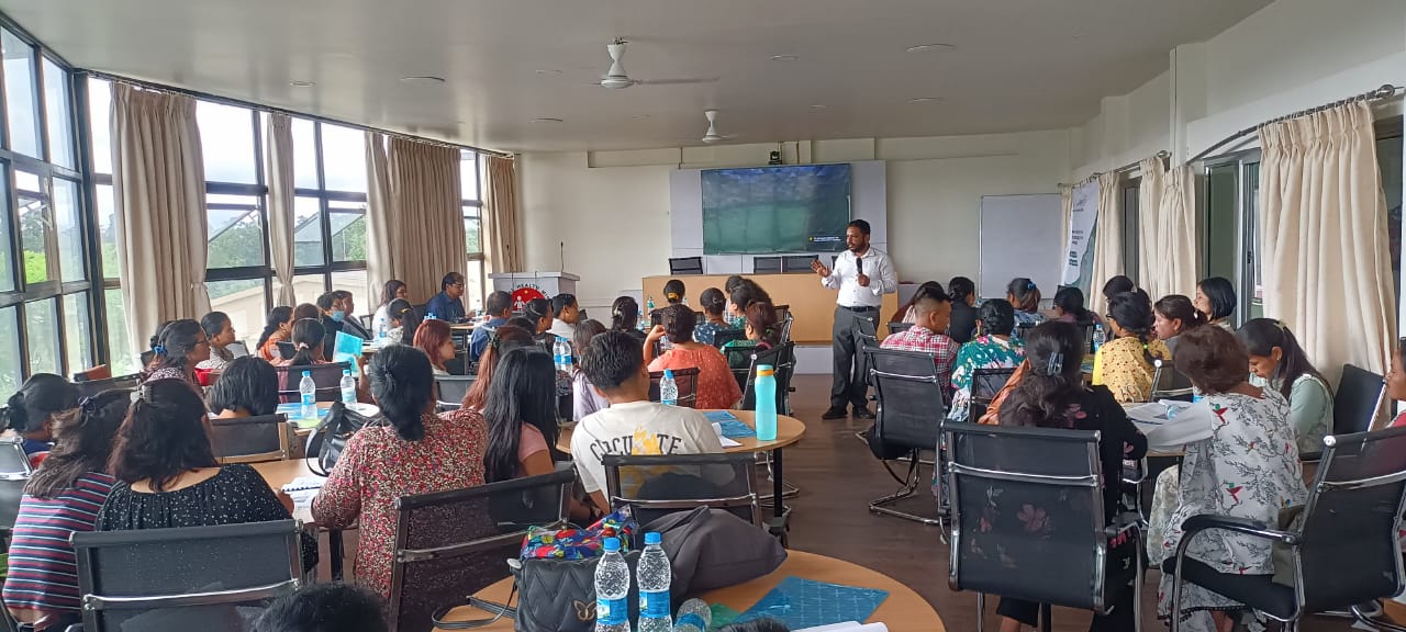
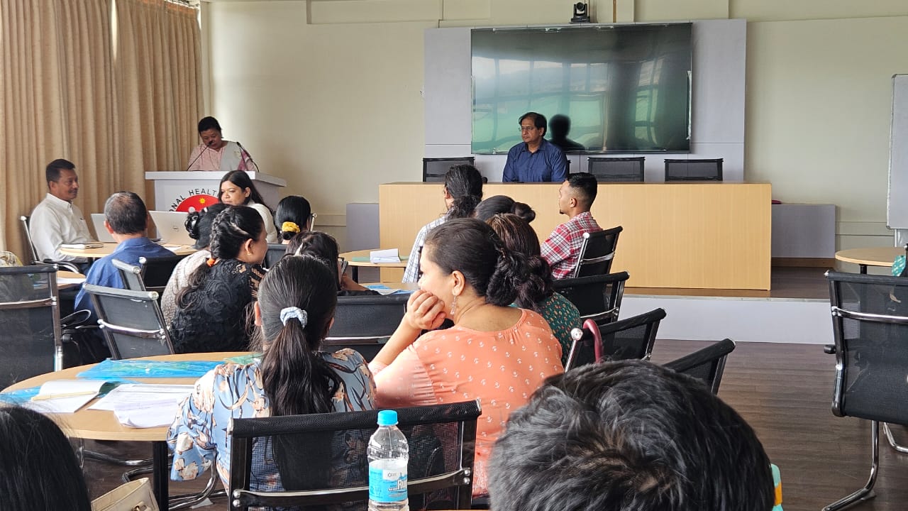
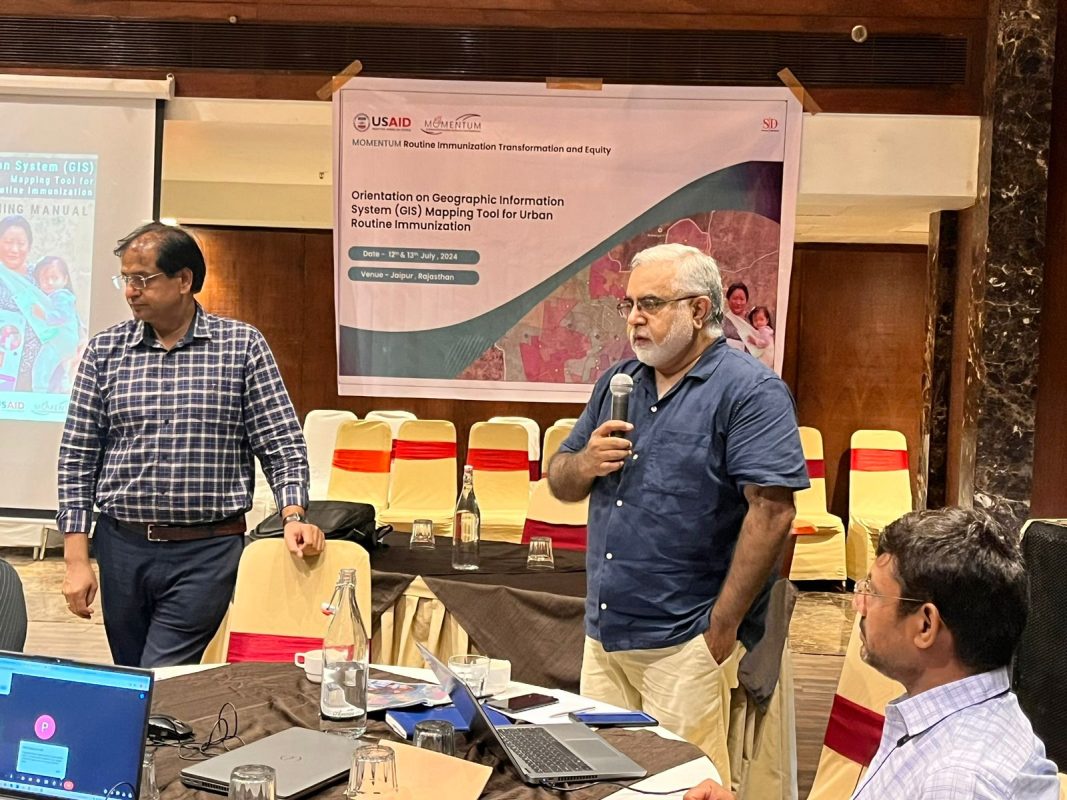
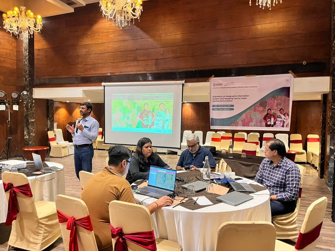
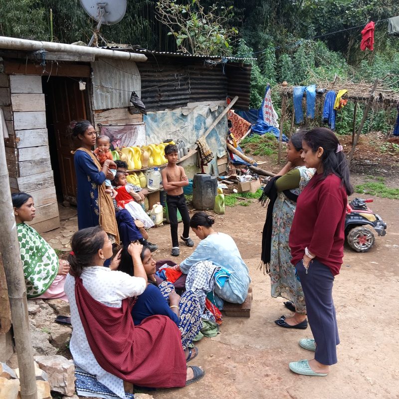
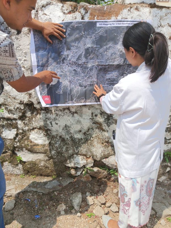
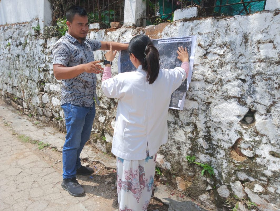
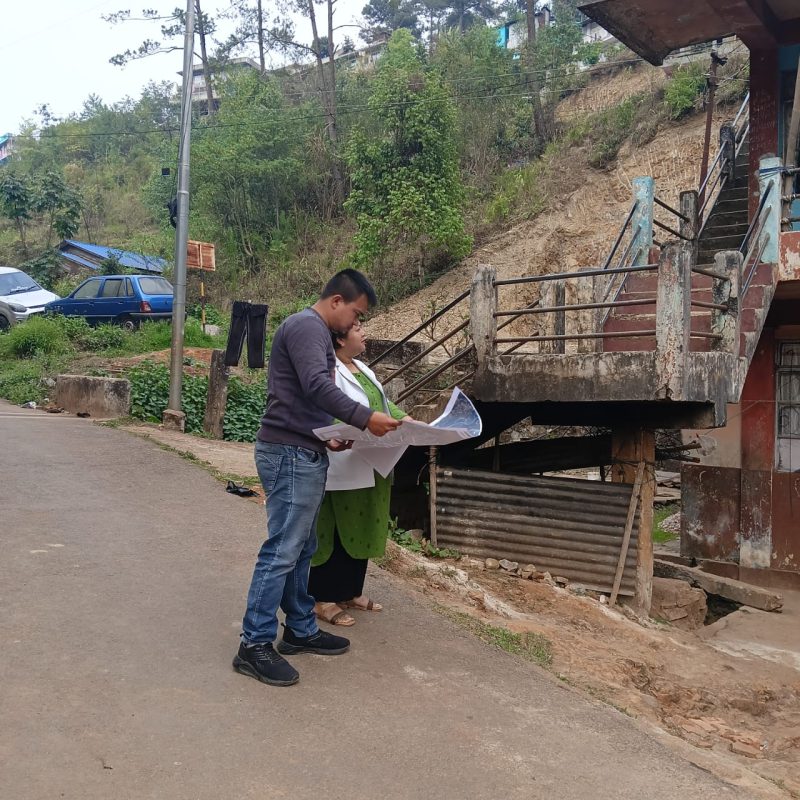
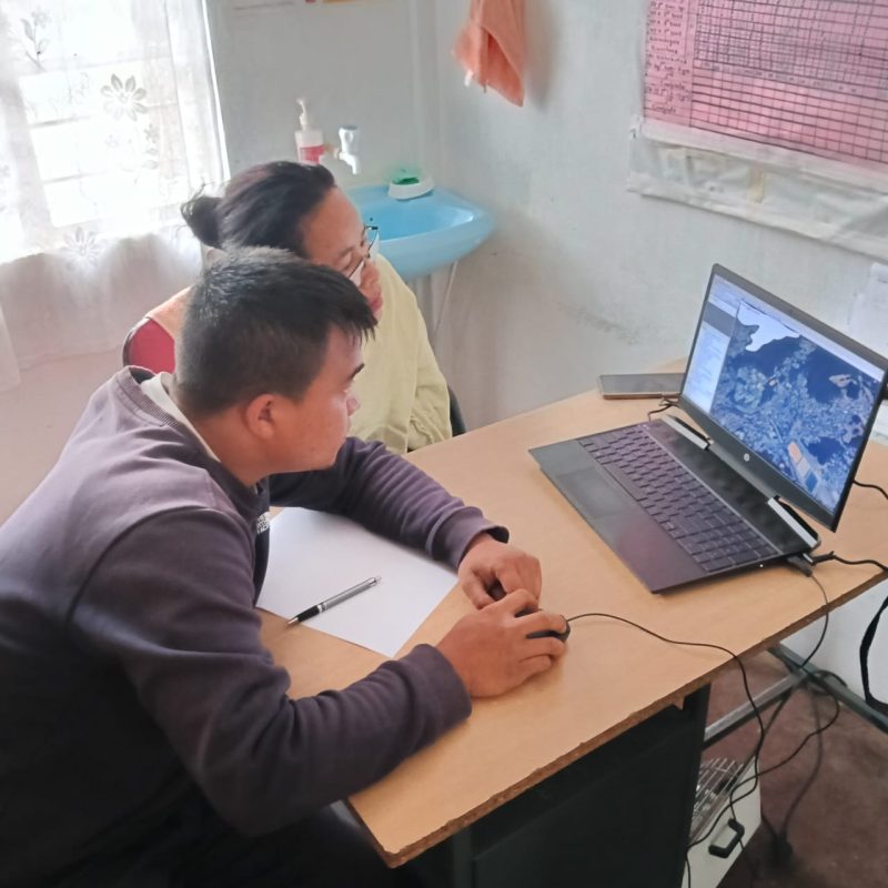
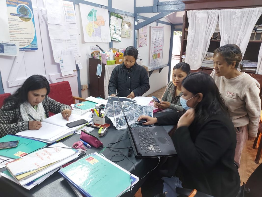
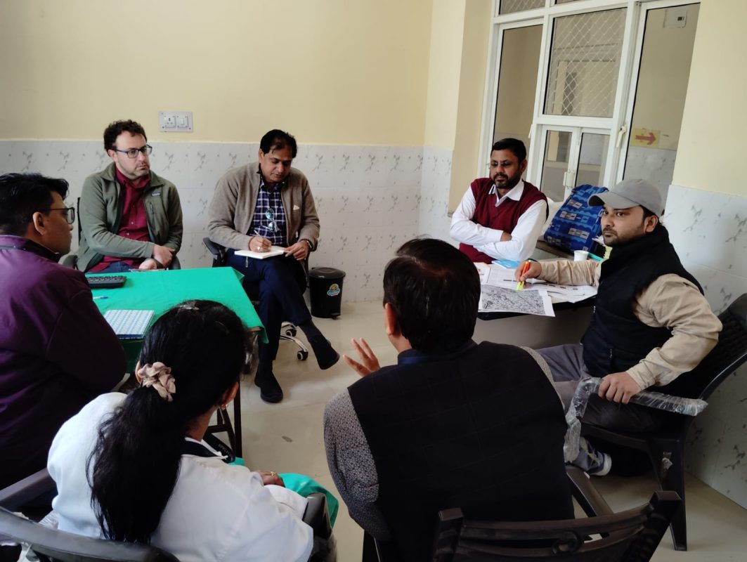
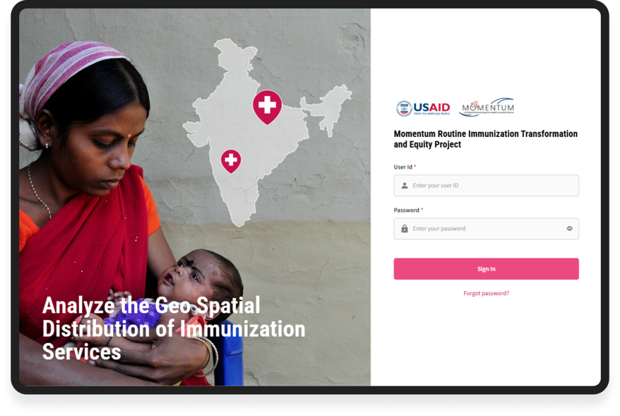
Under the USAID-funded MOMENTUM Routine Immunization Transformation and Equity (MRITE) program, the GIS Mapping Tool for Urban Routine Immunization was developed to strengthen immunization planning and coverage in Jaipur and Shillong, India. Building on lessons from the COVID-19 pandemic, the initiative responds to the Government of India’s priority to improve routine immunization (RI) systems, particularly in dense urban areas with vulnerable and hard-to-reach populations.

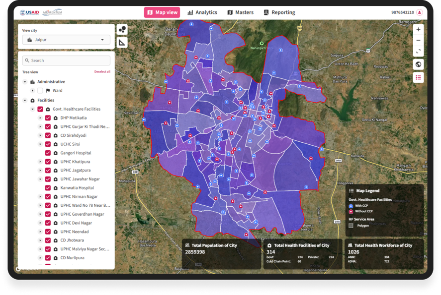
The project aimed to leverage GIS technology to map demographic characteristics, vulnerable pockets, health facilities, session sites, vaccinator catchment areas, cold chain infrastructure, zero-dose and dropout children, and high-risk zones—while enabling spatial analysis of service coverage gaps. A web-based GIS platform was envisioned to support real-time monitoring and evidence-based decision-making.
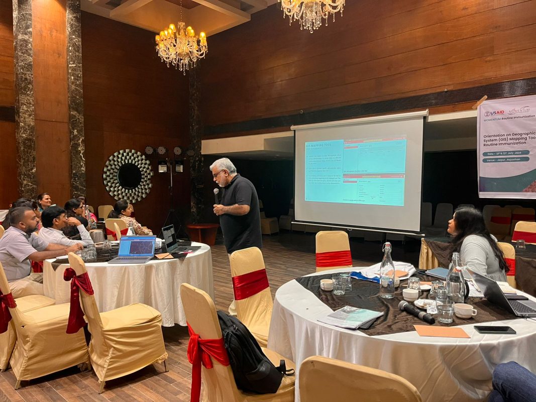
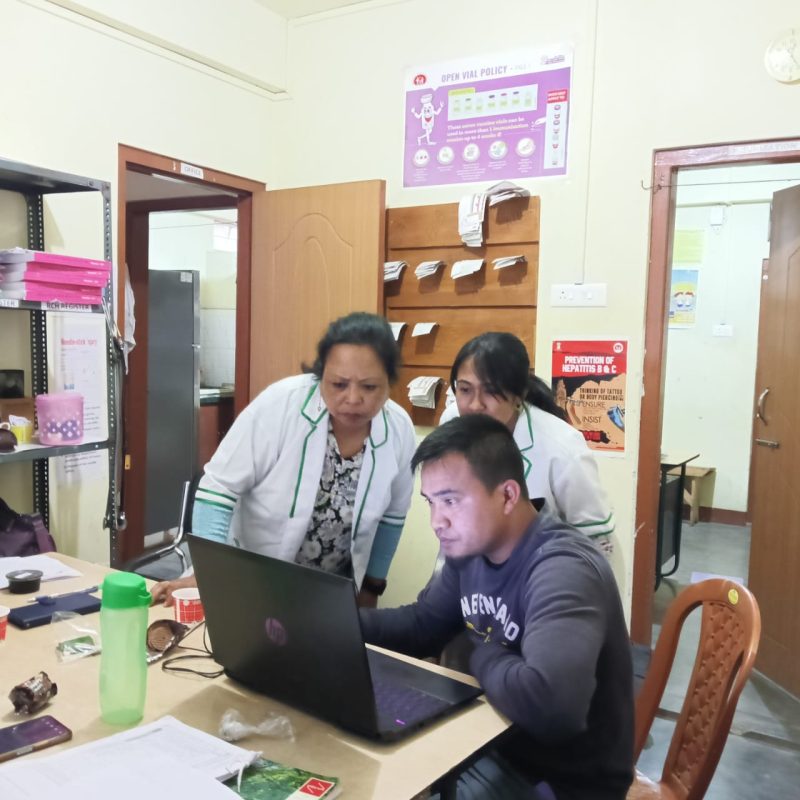
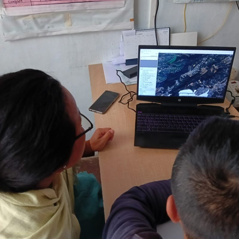
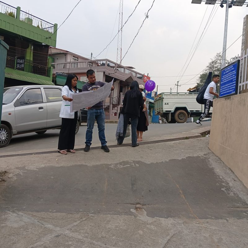
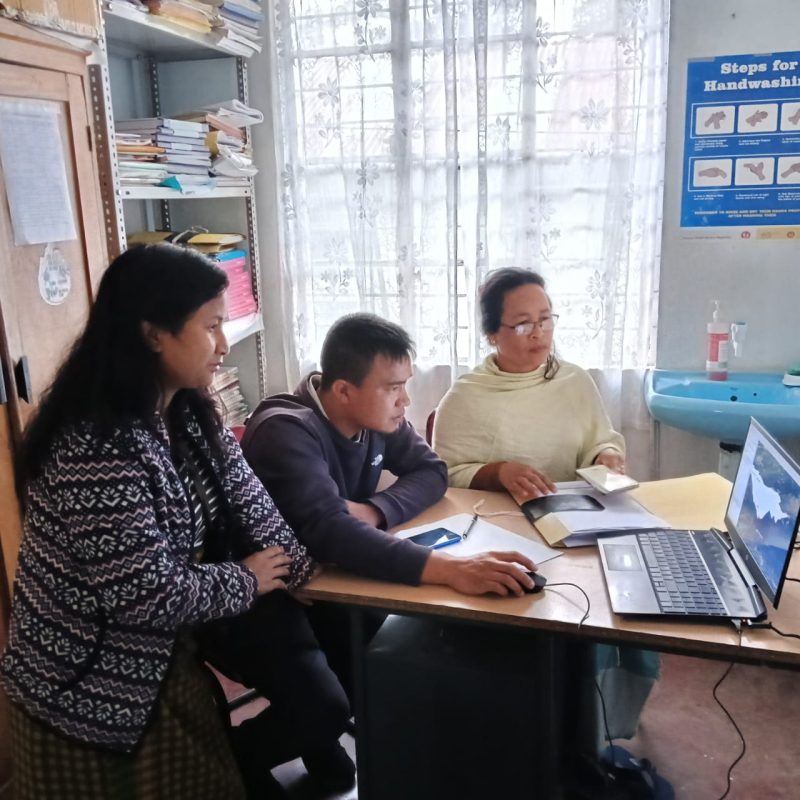
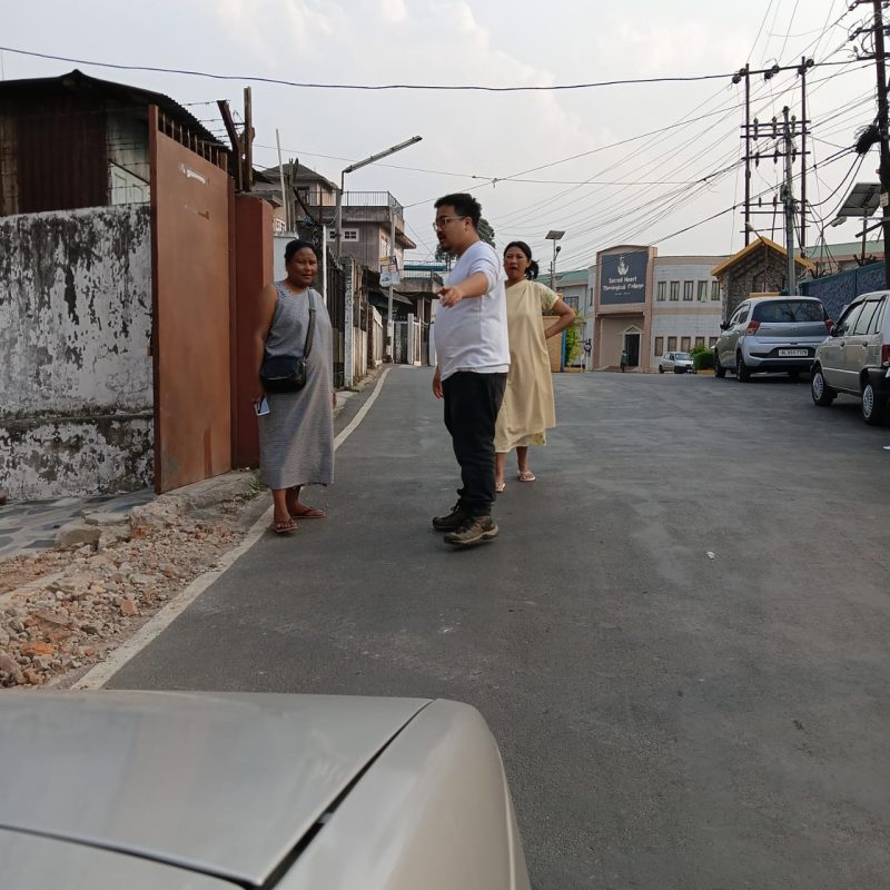
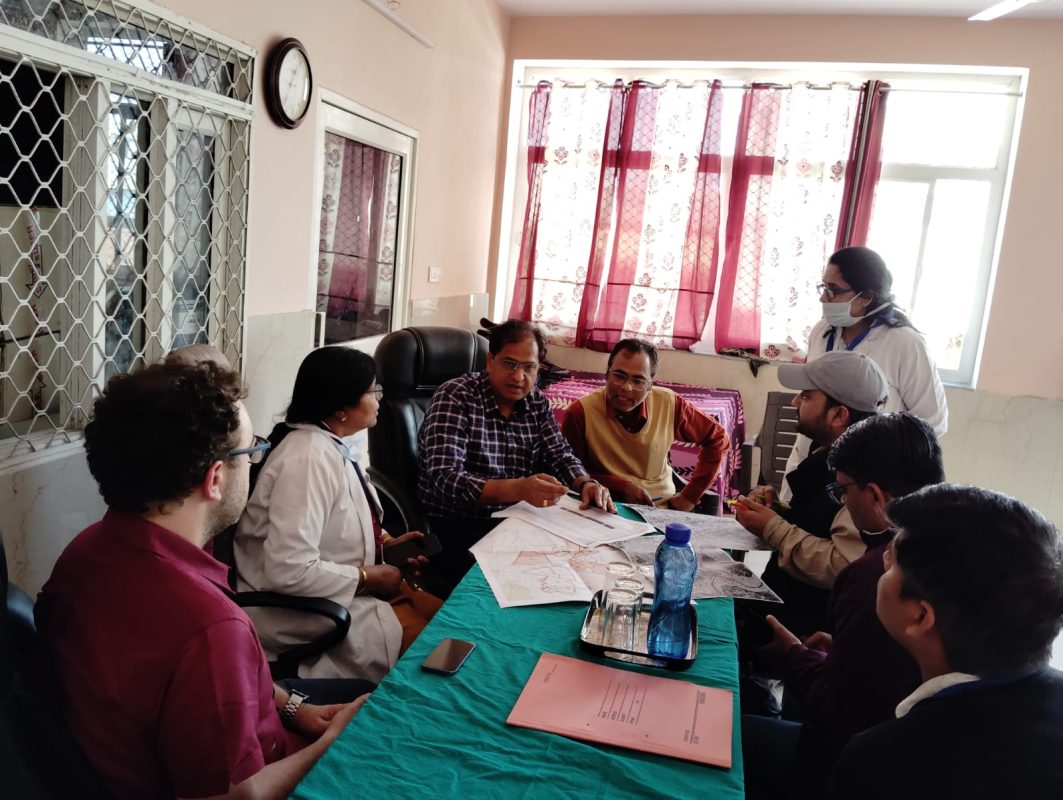
We designed and developed a comprehensive Web-GIS platform to support spatial planning and monitoring of routine immunization services in the two target cities. Our team conducted both primary and secondary data collection and prepared detailed GIS layers, including ward-level demographics, population distribution, health facilities, session sites, and cold storage centers. We defined system architecture and functional requirements, developed the spatial database, and built both front-end and back-end components of the platform.
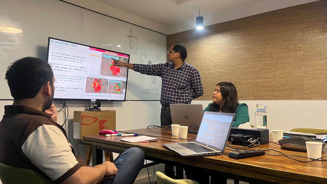
The system includes tools to analyze distances between population clusters and vaccination or cold chain points, identify high-risk and low-coverage areas, highlight outbreak events and surveillance data, and generate automated reports and dashboards. Backend development covered user authentication, role-based permissions, data management, and system security protocols. The final deliverables included the fully operational tool, user manual, training modules, in-person capacity building sessions, maintenance support, and a comprehensive final report with presentation of results.
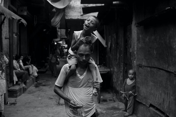
The GIS Mapping Tool enhances the ability of local health authorities to visualize immunization coverage, identify zero-dose and dropout children, and detect spatial inequities in service delivery. By enabling real-time monitoring and data-driven planning, the platform supports more targeted outreach, optimized resource allocation, and improved vaccination coverage in vulnerable urban communities.
Ultimately, the project strengthens urban public health systems by institutionalizing GIS-enabled decision-making, contributing to more equitable and resilient immunization programs.