Master Plan formulation for Lunglei Town
Client:
Town & Country Planning Office, Urban Development & Poverty Alleviation Department in coordination with AMRUT State Mission Directorate, Government of Mizoram
Location:
Mizoram, India


Client:
Town & Country Planning Office, Urban Development & Poverty Alleviation Department in coordination with AMRUT State Mission Directorate, Government of Mizoram
Location:
Mizoram, India
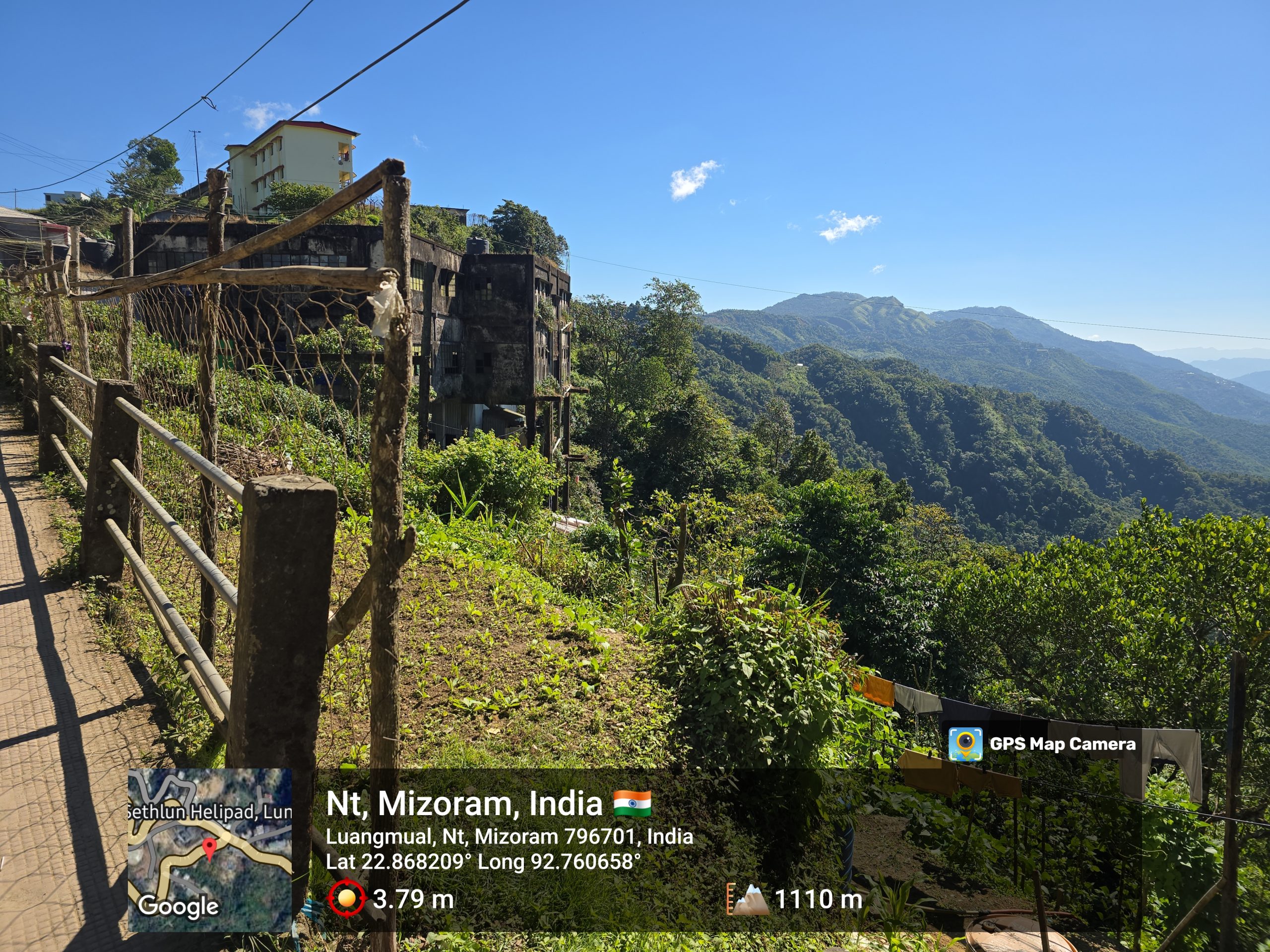
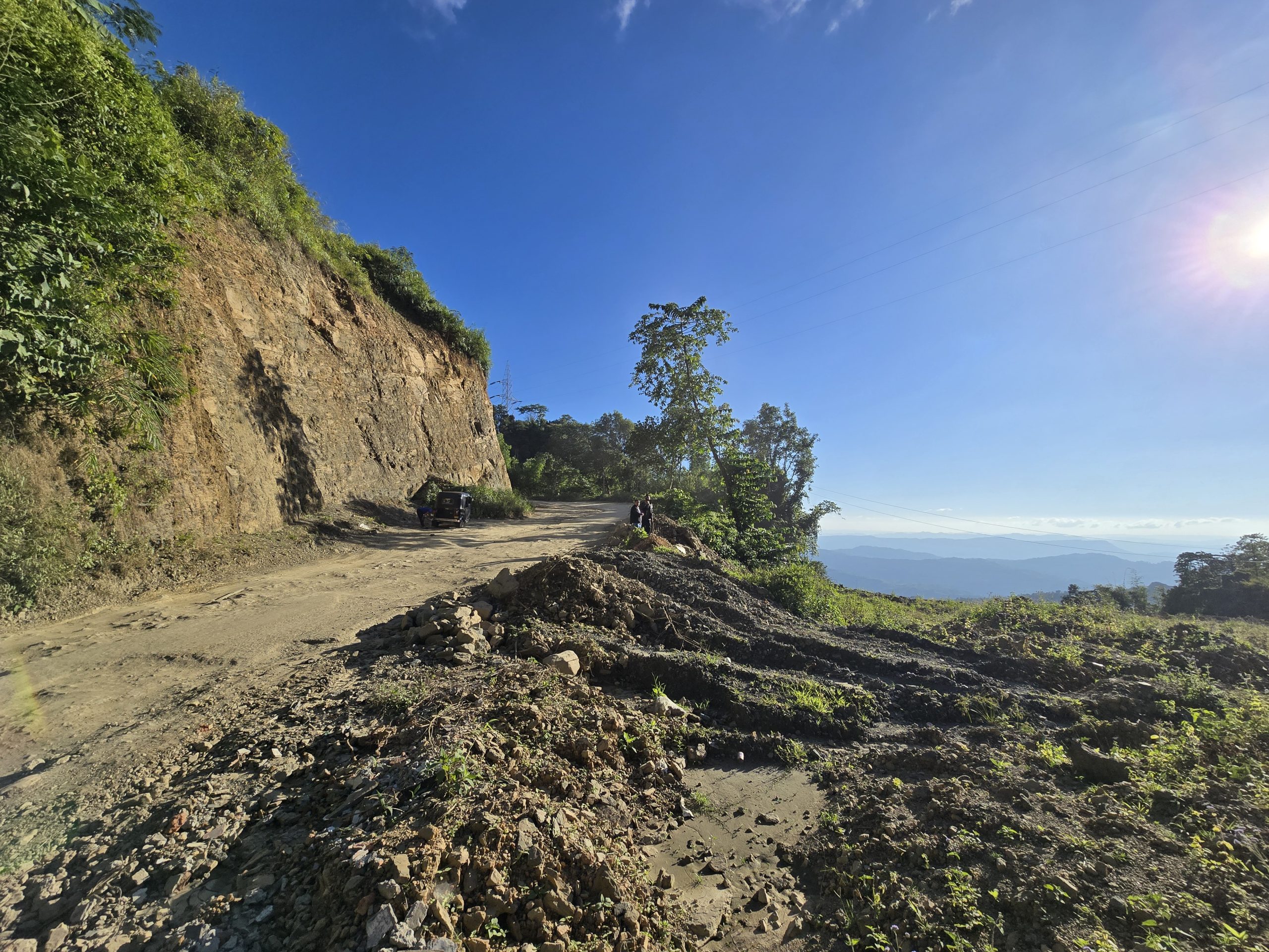
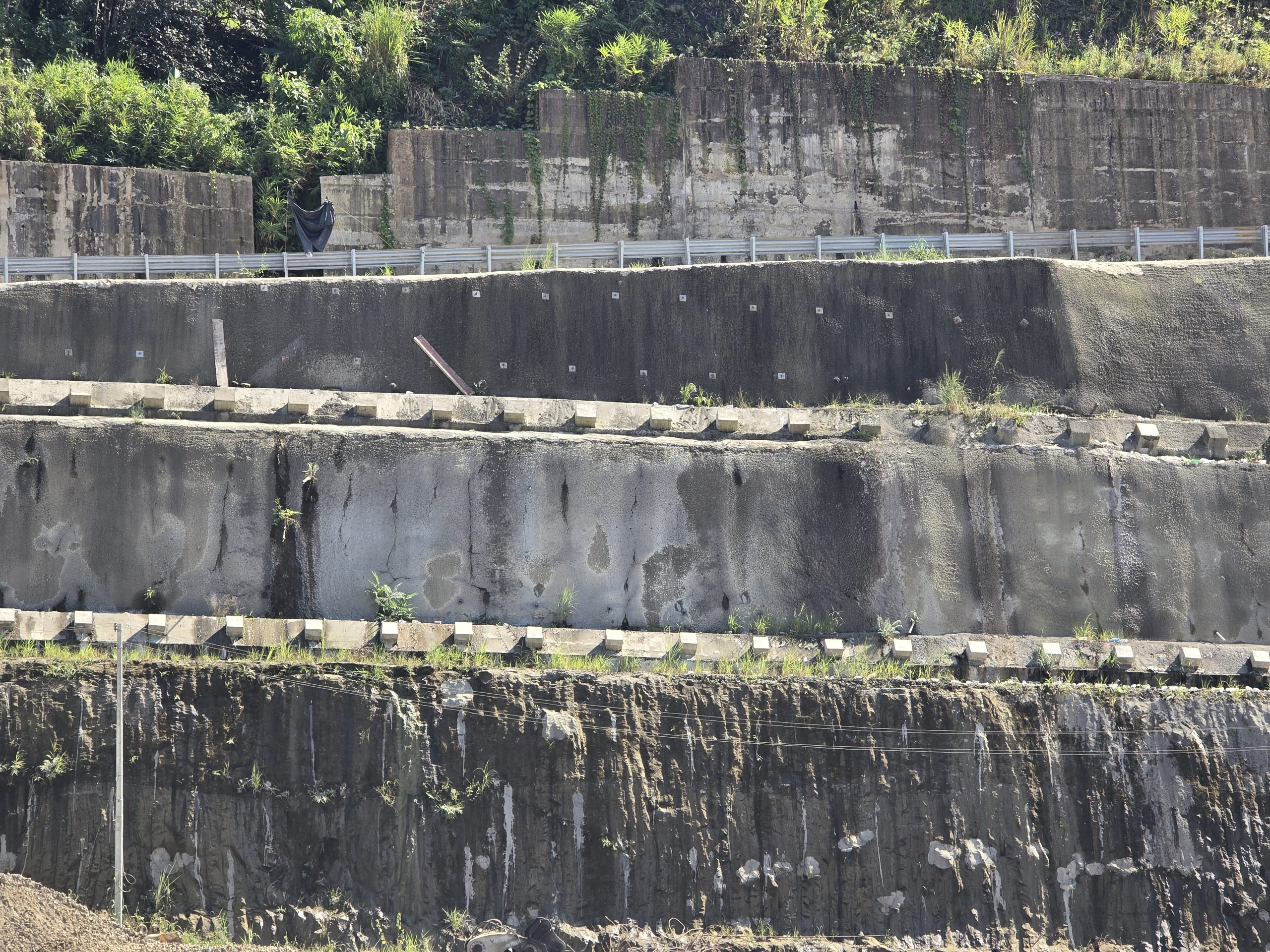
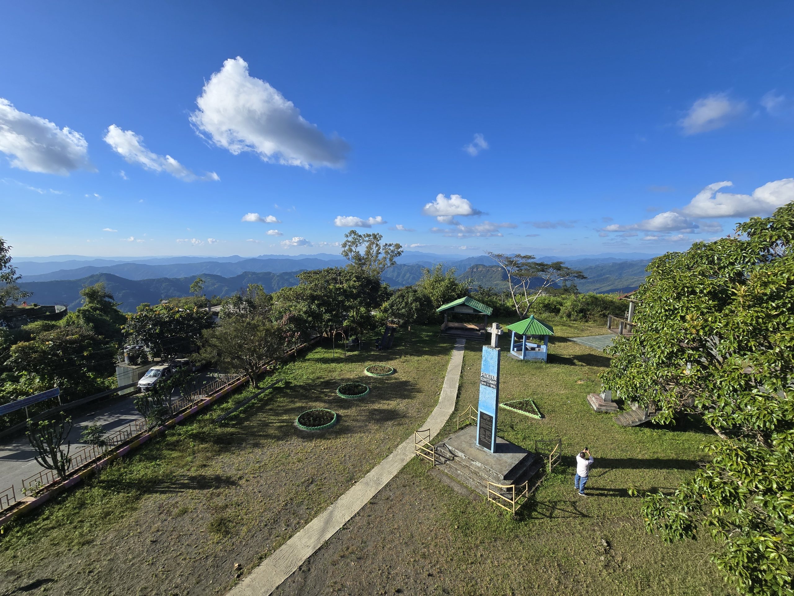
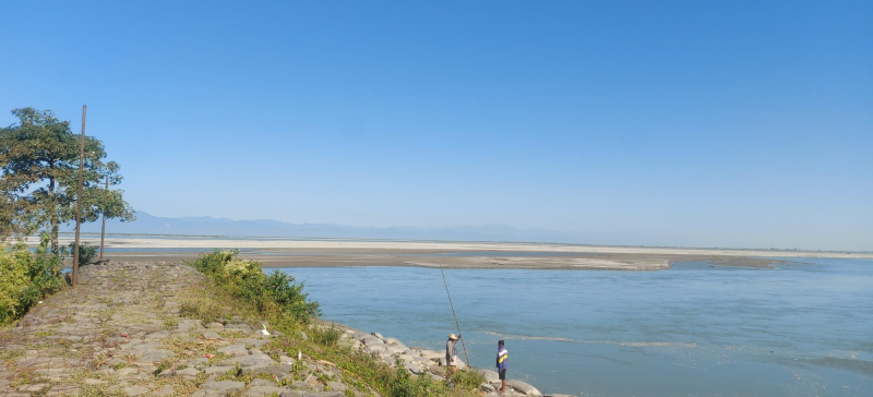
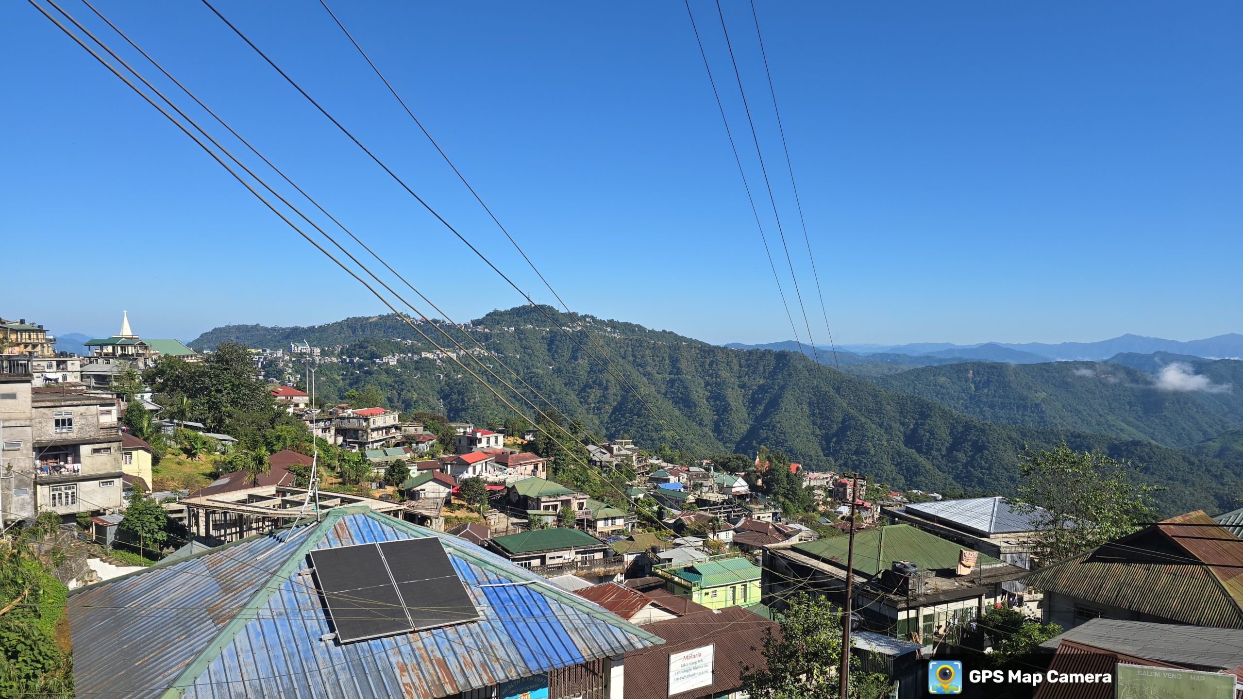
Under the AMRUT 2.0 scheme, Lunglei Town is preparing for long-term urban growth while addressing emerging risks related to terrain, infrastructure, and climate. To achieve this, the GIS-Based Master Plan for Lunglei has been initiated to guide sustainable development up to the horizon year 2045, integrating spatial planning with socio-economic development.

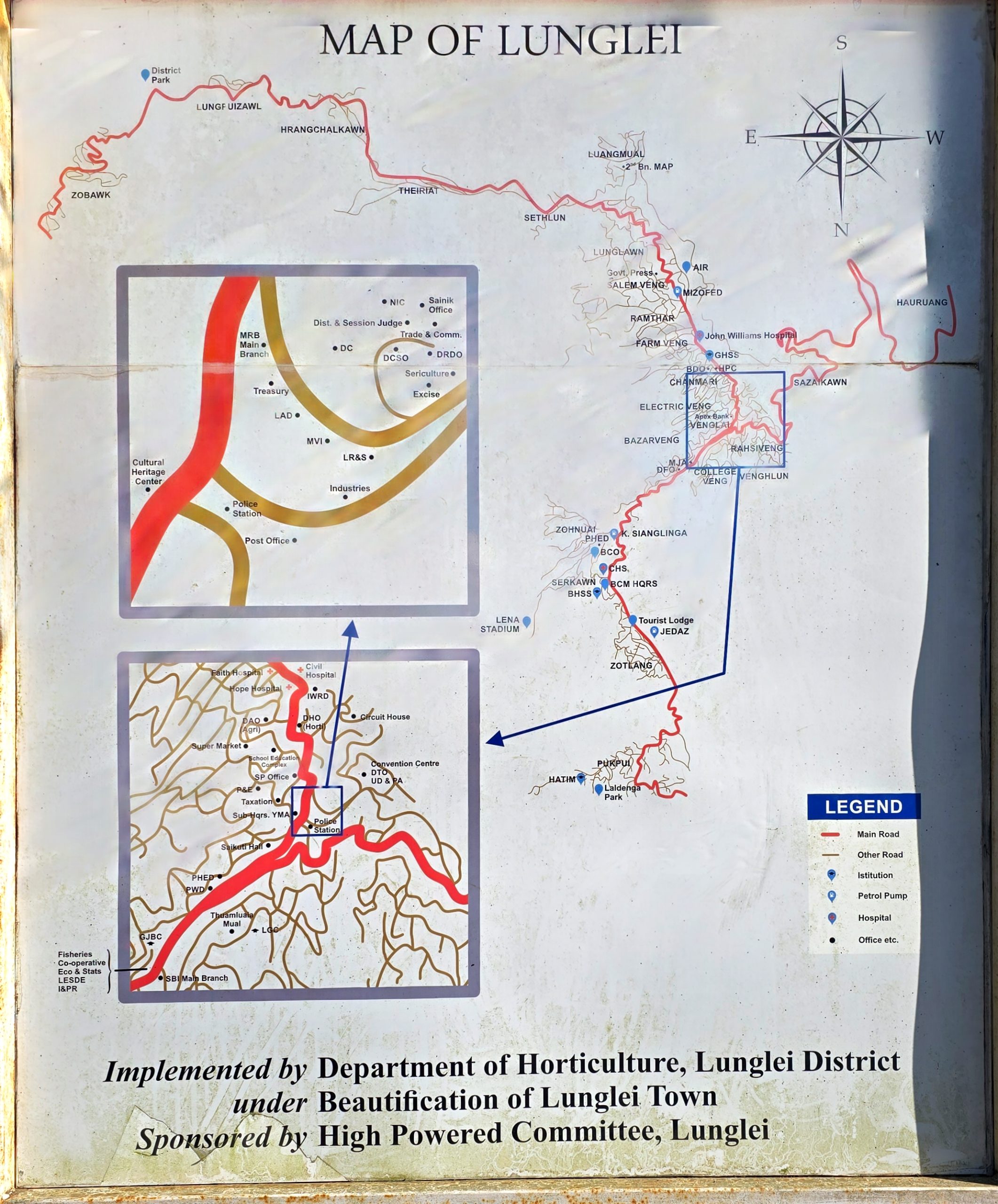
Spatial Decisions leads the formulation of the Risk-Informed Master Plan for Lunglei Town, based on robust spatial data and digital planning workflows. The team develops high-resolution GIS base maps using satellite imagery, drone surveys, and field-based data collection to create a comprehensive urban database covering spatial and attribute information across the town.
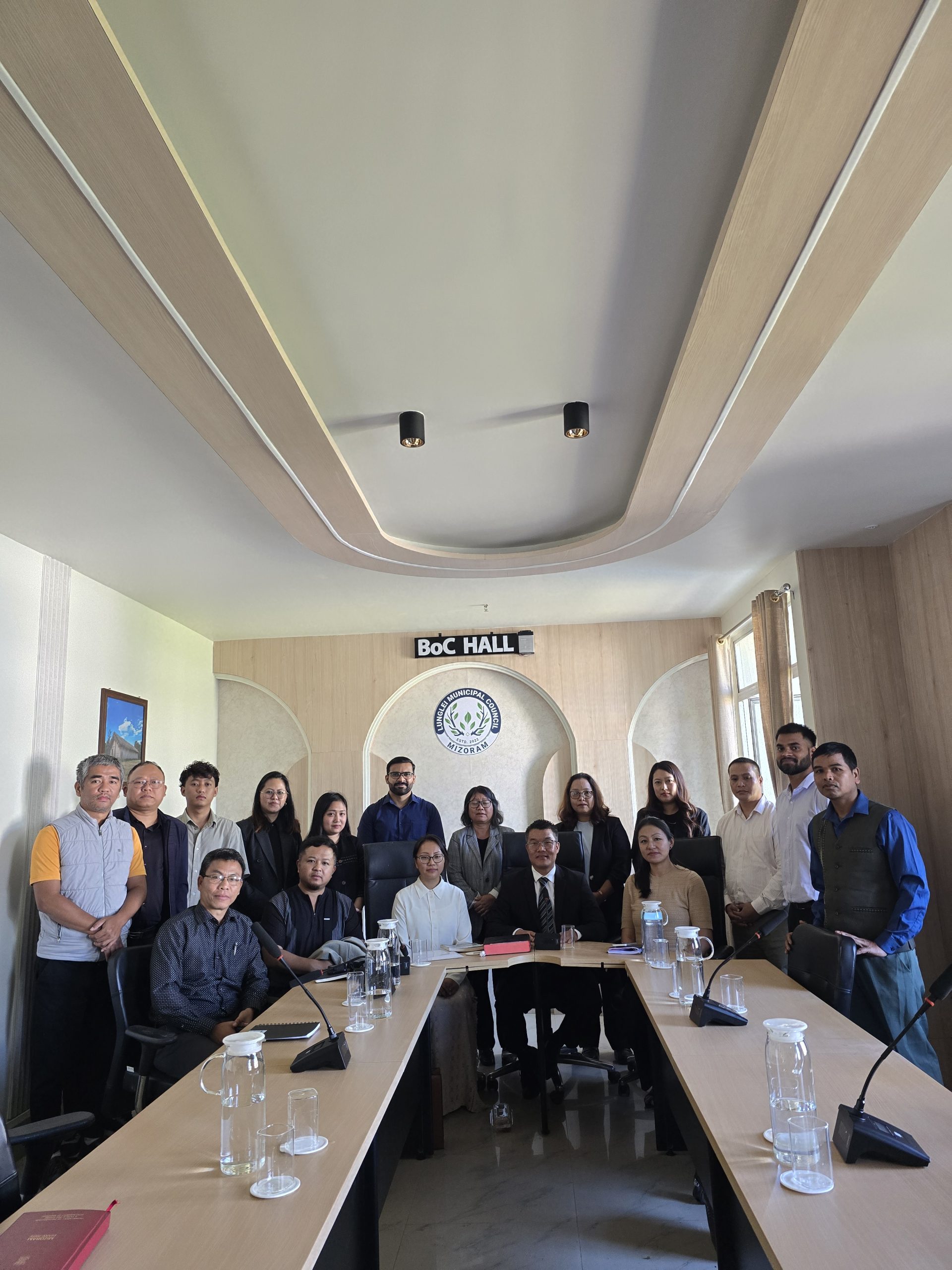
Primary surveys and attribute data are collected using Cloud-based Application, monitored by Survey Data Tracker, ensuring data accuracy and transparency. The team prepares the draft and final Master Plan documents and coordinates closely with mapping agencies and state officials to support effective implementation and monitoring.


The Master Plan delivers a clear and actionable roadmap for Lunglei’s sustainable urban development up to 2045. Through risk-informed planning and digital platforms, decision-making by local authorities is strengthened, enabling more informed and effective urban management. So that Lunglei would become a well-managed, highly livable town with great infrastructure and service delivery.