GIS & Remote Sensing Capacity Development for Coastal Monitoring in the Mekong Delta
Client:
NIRAS
Location:
Mekong Delta Provinces, Vietnam


Client:
NIRAS
Location:
Mekong Delta Provinces, Vietnam
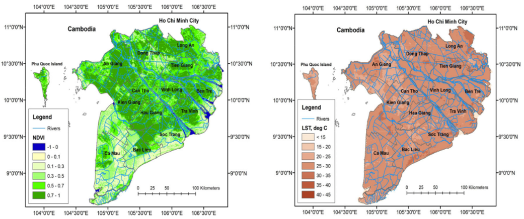
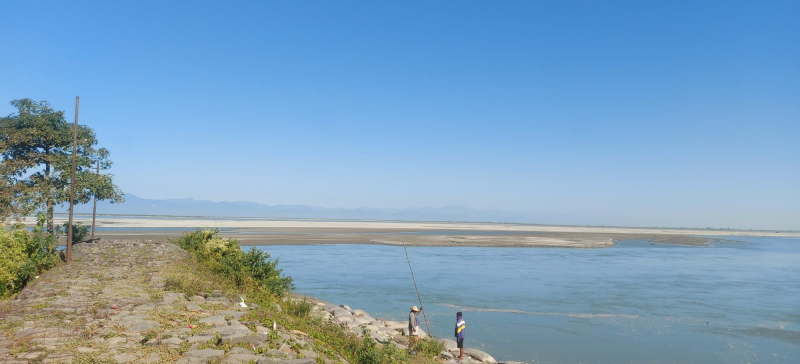
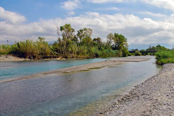
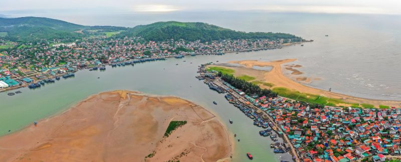
The Mekong Delta is one of the most vulnerable regions to climate change in Vietnam, facing increasing pressure from coastal erosion, rising sea levels, extreme weather events, and human activities. Effective coastal management in the region has become a high priority in the region. However, monitoring systems and institutional capacity remain limited.
To enhance coastal monitoring and support decision-making, this project was initiated under the Mekong Delta Climate Resilience Program
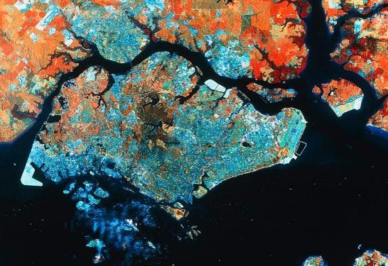
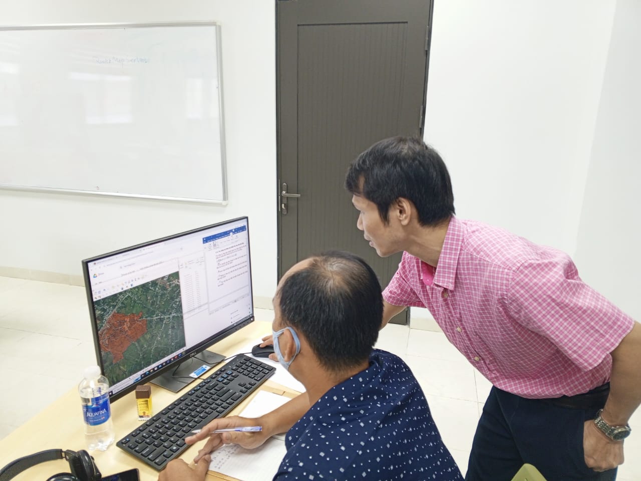
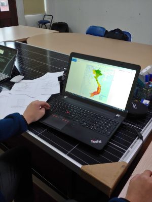
The project focuses on establishing a Coastal Monitoring System for the Mekong Delta by integrating GIS and remote sensing technologies to monitor coastal erosion and key environmental indicators.
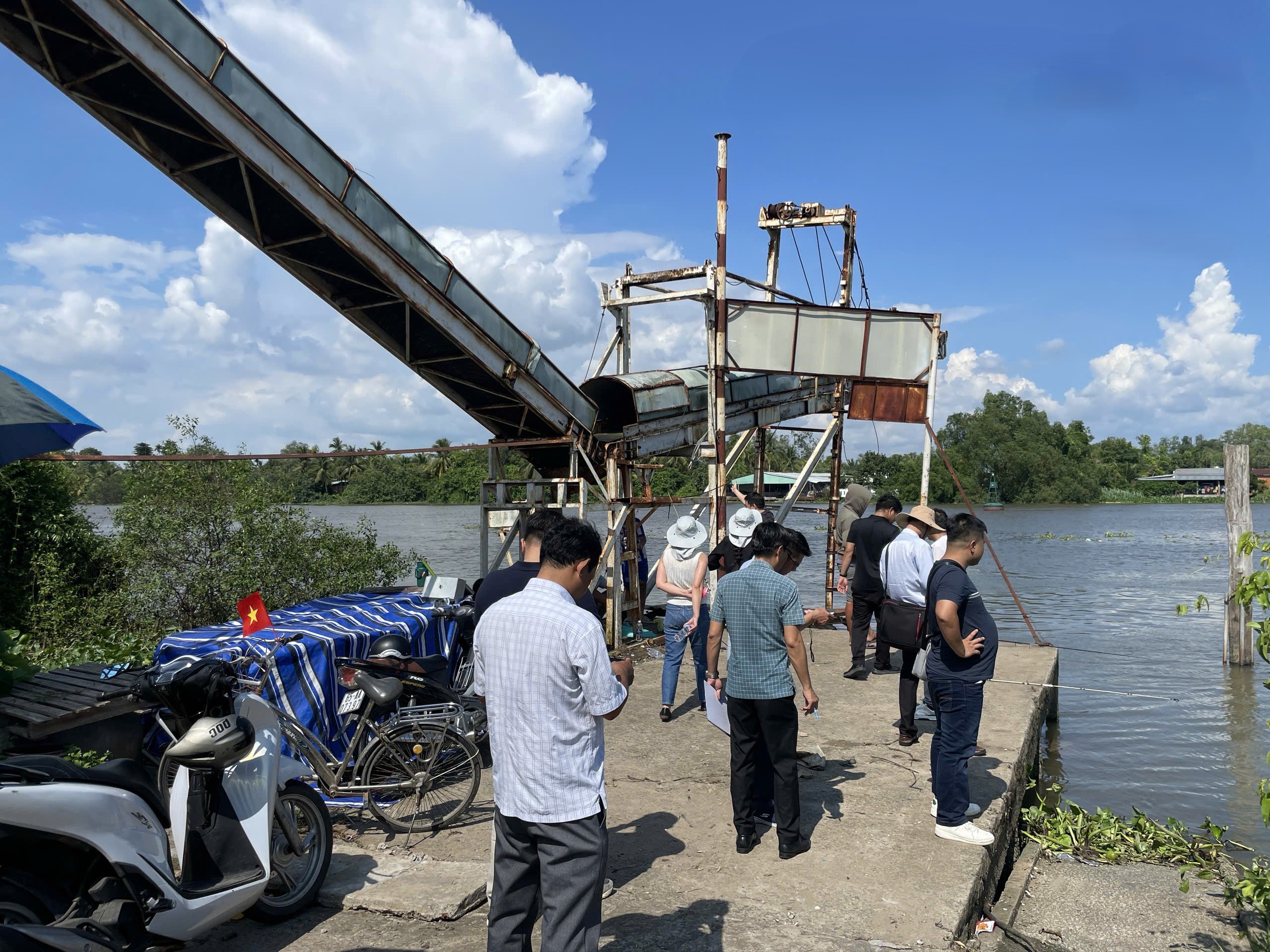
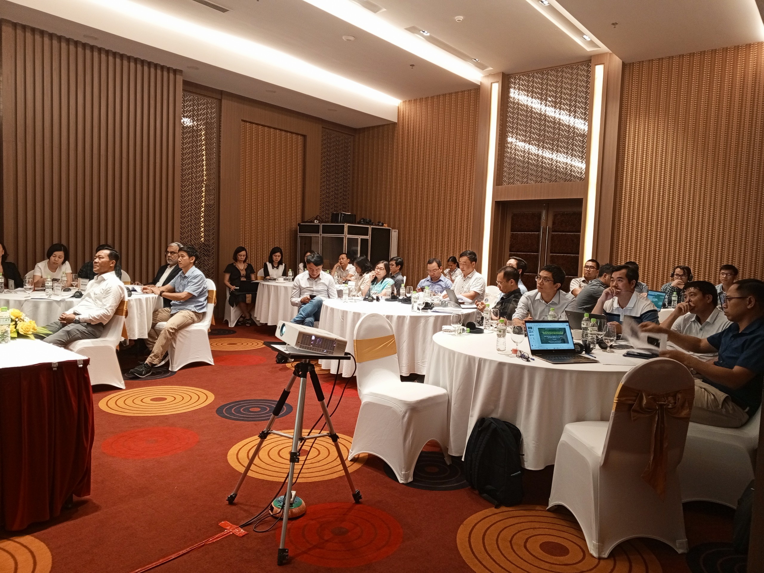
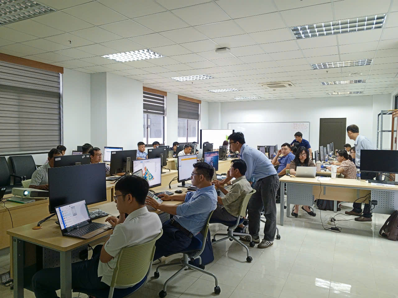
Spatial Decisions supports the design and implementation of this program while delivering targeted capacity development for local institution. Through hands-on training, technical support, and collaborative engagement, this project strengthens the ability of local teams to collect, analyze, and interpret geospatial data for effective coastal management.


The proposed interventions are expected to reduce stormwater runoff and peak flood impacts while improving urban environmental quality through enhanced green cover, restored wetlands, and open spaces. The project supports long-term urban growth, strengthens local capacity, and provides a clear set of prioritized interventions to facilitate funding and implementation. Together, these outcomes would position Dibrugarh on a resilient development pathway that balances climate adaptation with long-term livability.