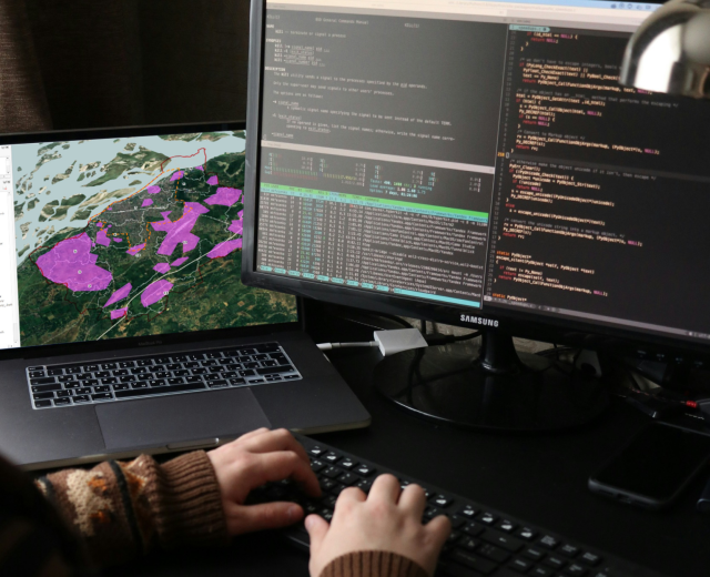
Bring your data to life with powerful, interactive web maps that drive smarter decisions. Our Web GIS solutions are designed to turn complex spatial data into clear, compelling insights, helping you see patterns, solve problems, and unlock new capabilities.

Whether you’re managing assets, planning infrastructure, or tracking environmental impact, our custom-built platforms make geospatial intelligence accessible and impactful. With seamless user experiences, real-time data integration, and scalable technology, we empower you to move faster, plan better, and stay ahead.

Mapping Application for
Urban Routine Immunization

Developed under the MOMENTUM Routine Transformation and Equity (MRITE) GIS Mapping project, this tool supports Routine Urban Immunization by visualizing government health facilities and their coverage. It helps health authorities identify gaps in healthcare access and optimize resource allocation.

Web GIS for Urban Planning

We create comprehensive Web GIS platforms that are easily accessible, designed to display the infrastructure characteristics of the specified towns. Highlighting the proposed urban construction. This also may involve identifying vulnerable areas and evaluating existing urban infrastructure.