

Smart Spatial Planning for Sustainable Cities

GIS technology is transforming how cities are planned, monitored, and managed
By bringing spatial data, planning regulations, and urban indicators into a single interactive web-based environment, Web GIS enables planners and decision-makers to better understand urban dynamics, evaluate development scenarios, and guide sustainable growth.
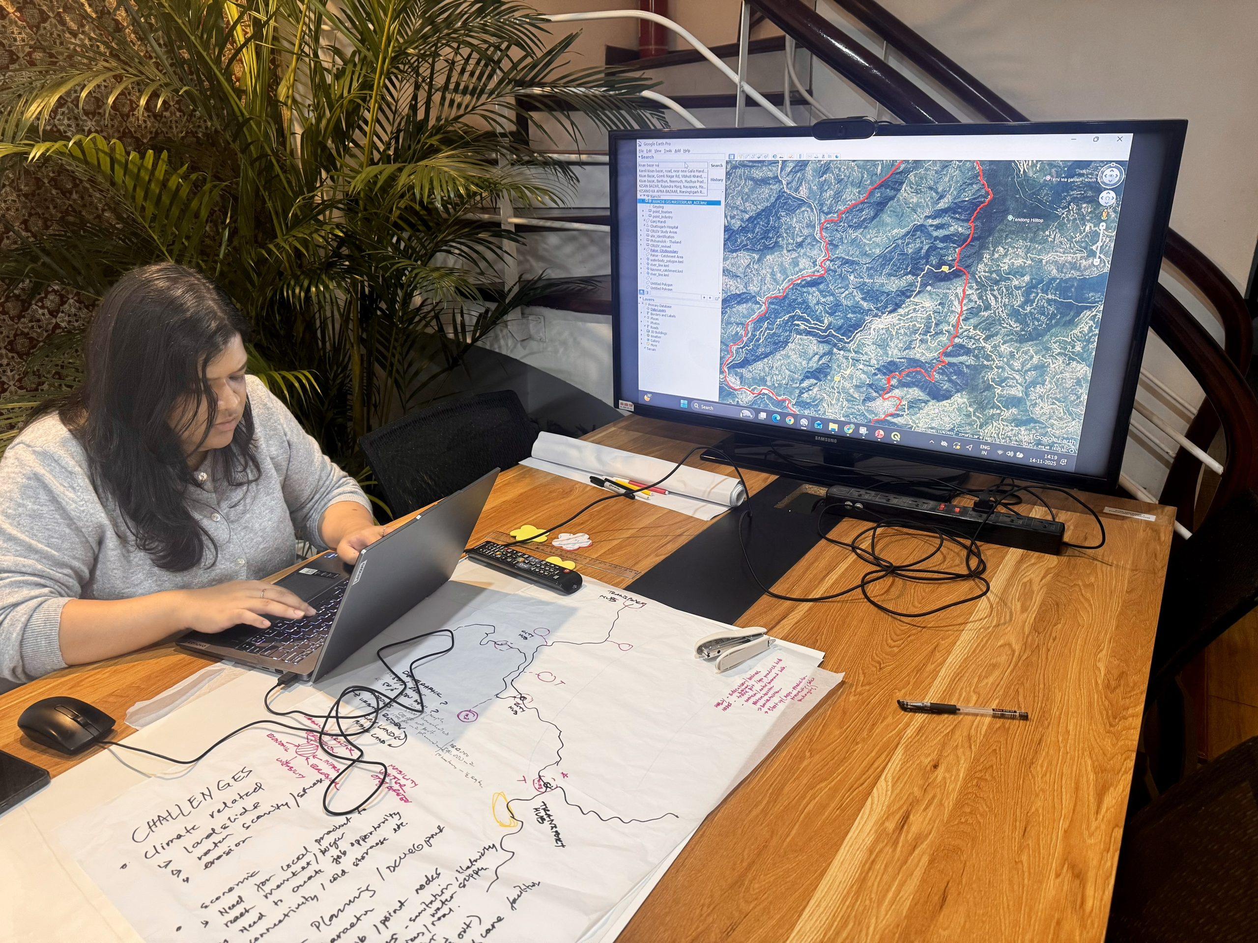
Web GIS for Urban Planning provides a centralized spatial platform to manage land use, infrastructure, population, environment, and policy data in real time. It allows planners to visualize current urban conditions, analyze future growth, and assess the impacts of planning decisions before implementation.

Overview
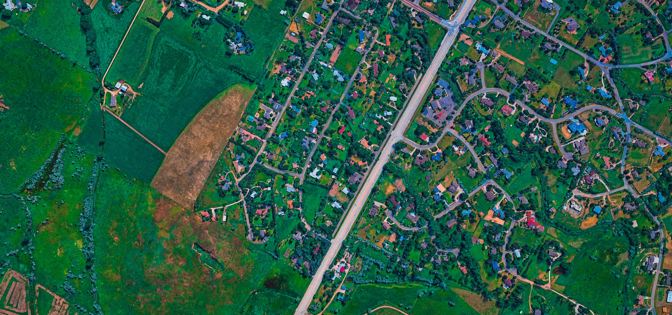
GIS Applications in Urban Planning
Our Web GIS solutions support transparent planning, cross-department collaboration, and evidence-based decision-making for modern, resilient cities.
By moving planning data to the web, cities benefit from faster workflows, improved coordination, and greater public engagement.
What We Offer
Land Use & Zoning Management
Interactive zoning maps, development control layers, and land use change monitoring.

Analytics & Decision Support
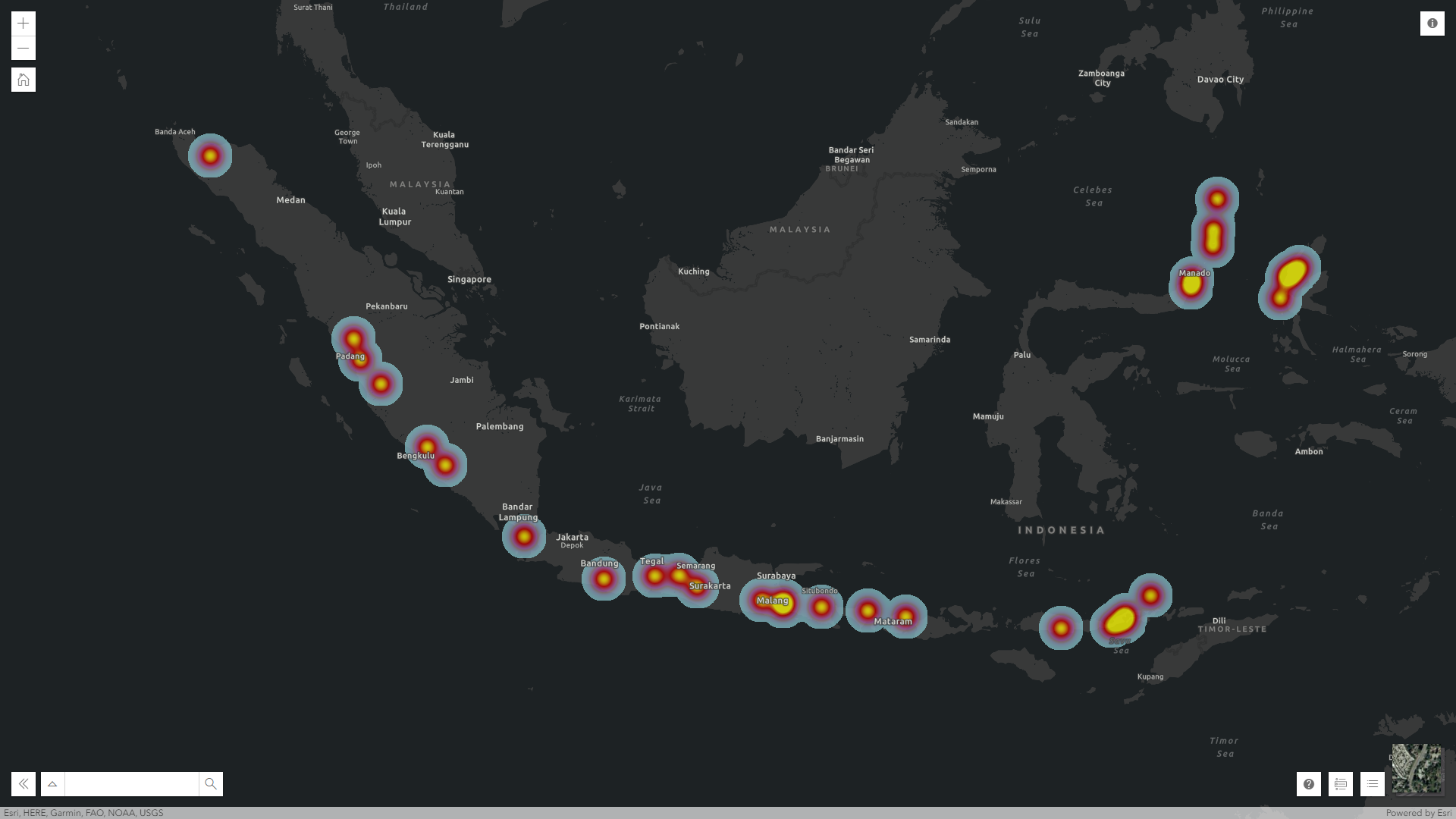
Spatial analysis for population density, accessibility, suitability, and growth trends
Infrastructure & Public Facility Planning
Planning support for roads, drainage, utilities, schools, hospitals, and public spaces.

Environmental & Climate Risk Mapping
Flood risk, heat maps, air quality analysis, and climate vulnerability assessments.
2D/3D Data Visualization
City models for development control, skyline analysis, and urban design review.
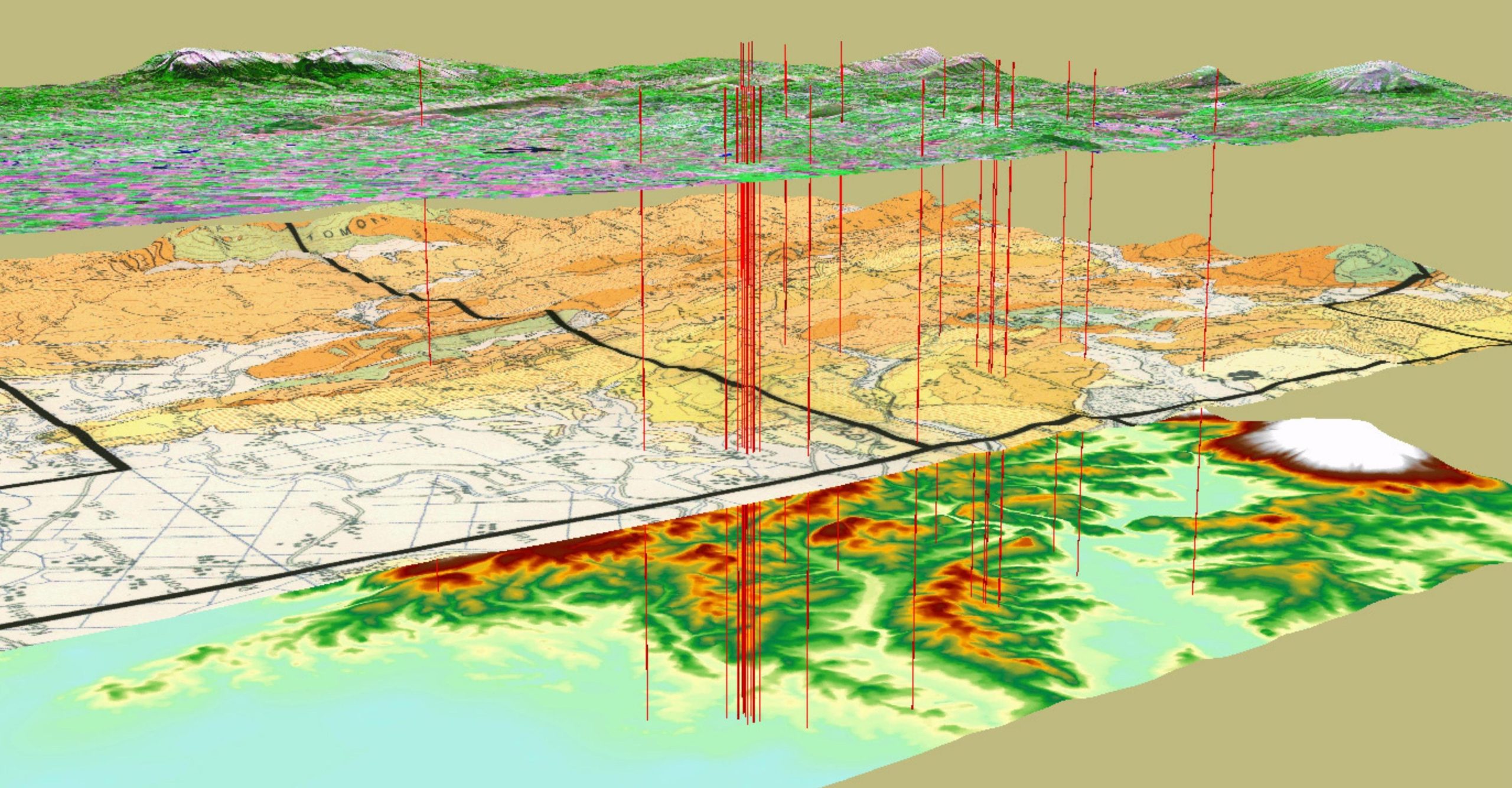
Data Integration & Interoperability
Integration of satellite imagery, LiDAR, surveys, CAD, BIM, and planning databases.