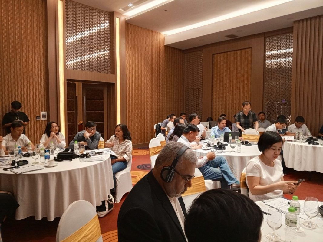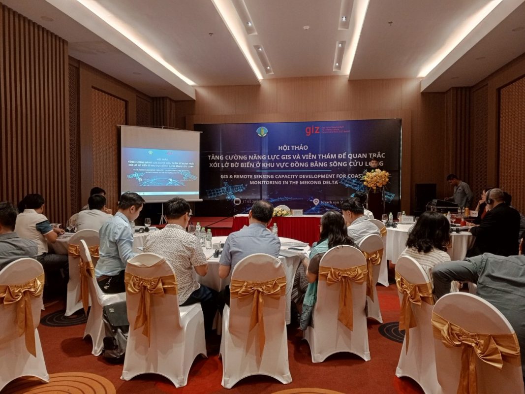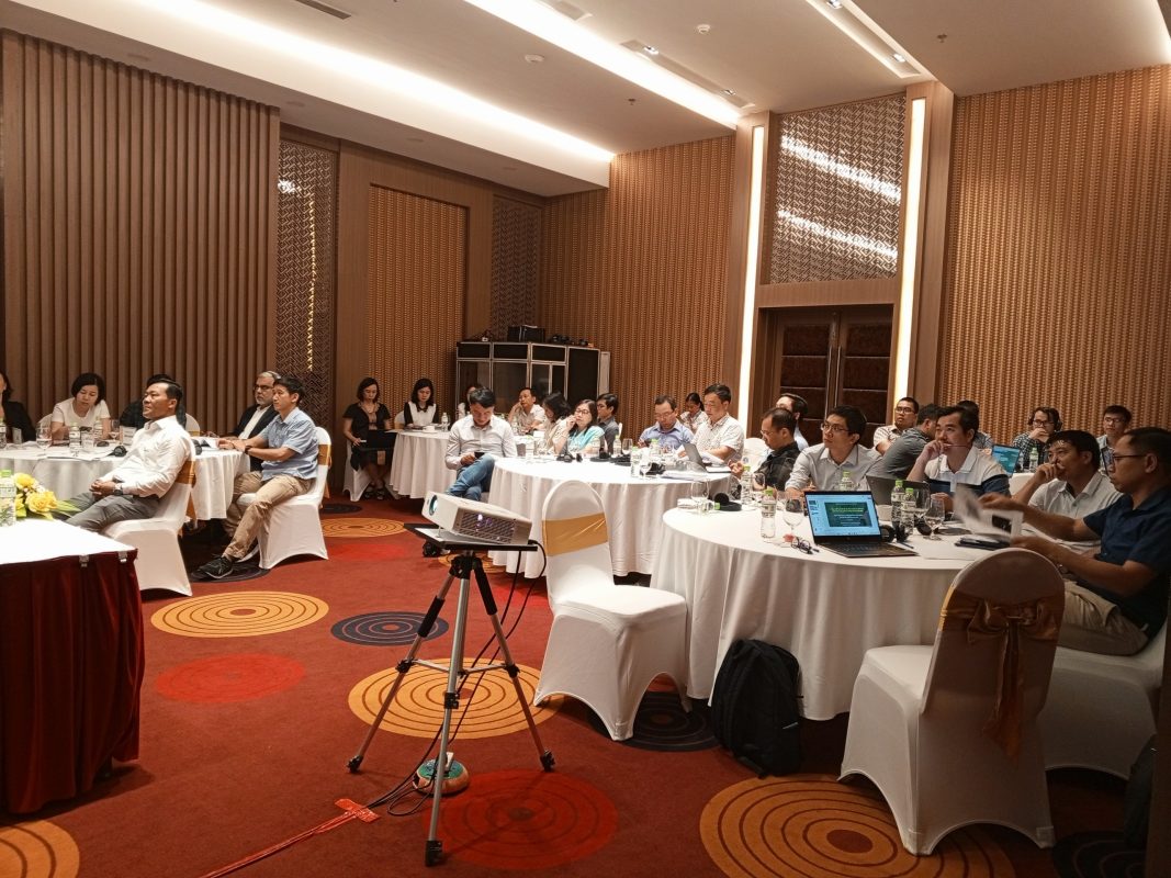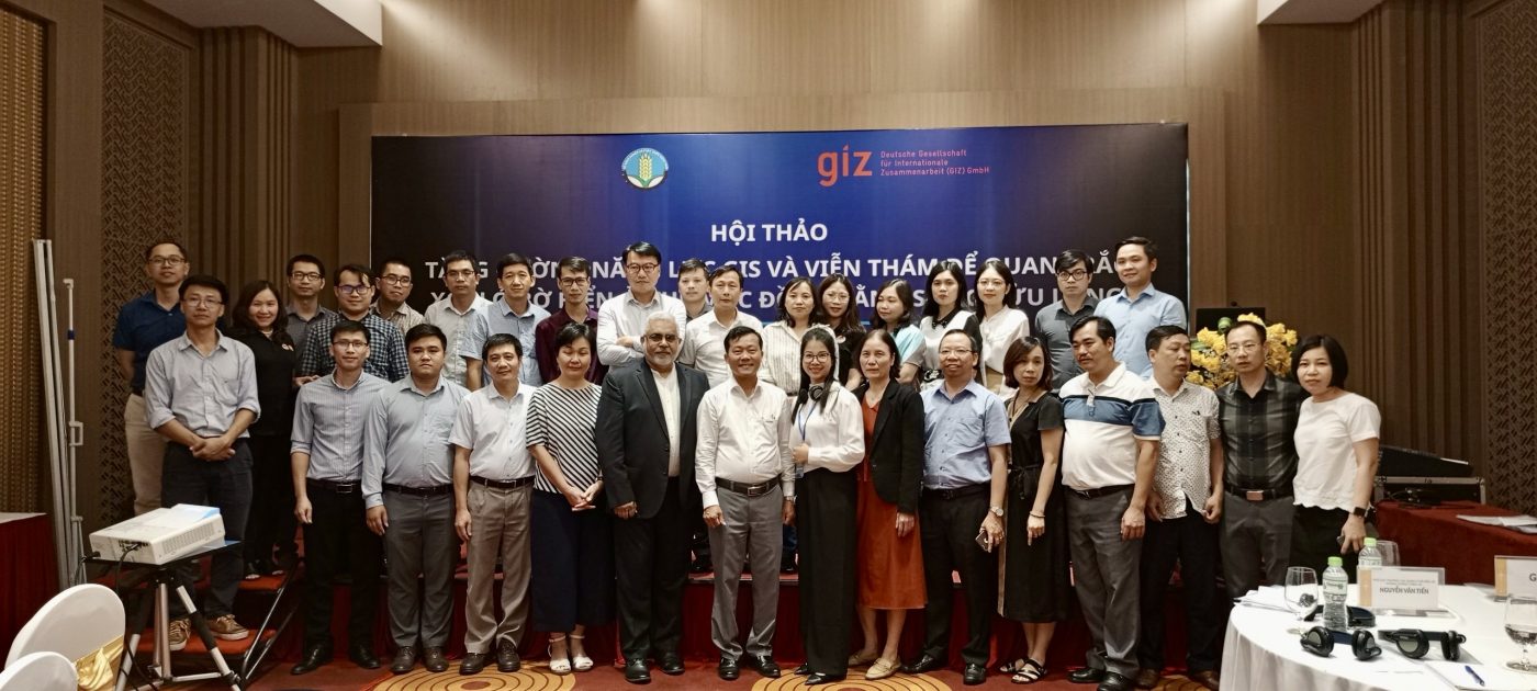

Responding to the national week of natural disaster prevention in 2024, Vietnam Disaster and Dyke Management Authority (VDDMA) organizes this workshop in order to provide an informative overview on current and new technologies in GIS and Remote Sensing and their applications to enhance the workflows for coastal monitoring and management.
Workshop Title
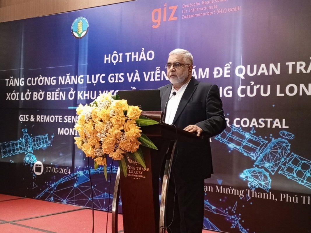
GIS and Remote Sensing Overview for Decision Makers: New Technologies and Decision Support Systems for Coastal Monitoring
Date
17/05/2024
Duration
2:00PM – 5:00PM
Venue
Muong Thanh Hotel, Hung Vuong Square, Viet Tri, Phu Tho
Expected Participants
Senior leaders, decision makers, and department heads, from relevant departments of MARD, VDDMA, GIZ and Consultant Team
Key objectives
• Provide informative overview of new GIS/ RS/ and use of AI technologies for dynamic and responsive decision making and management
• Outline the integration of these technologies with other monitoring and data capture systems
• Present the proposed training and capacity building program for Coastal Monitoring and Management and get feedback for implementation