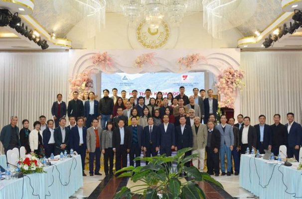
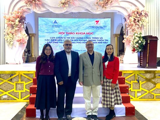
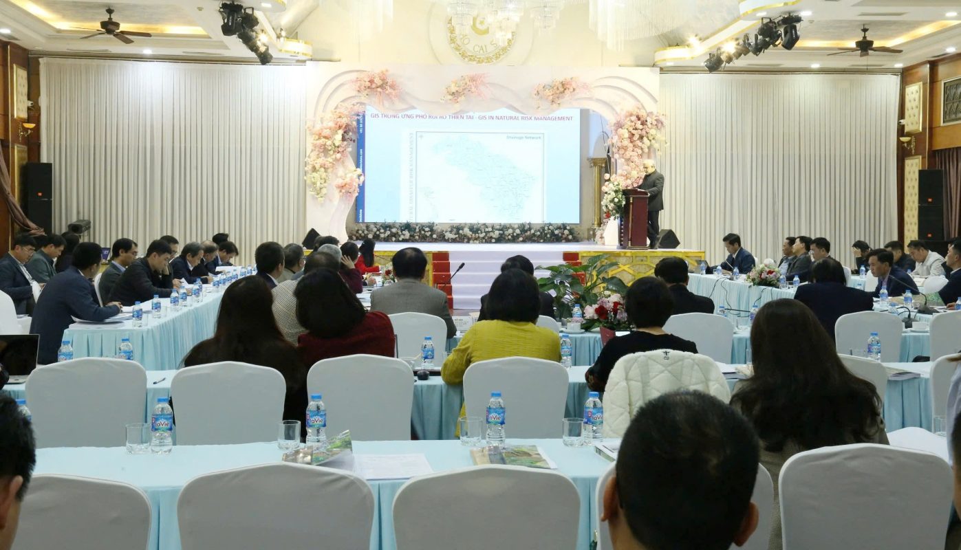
On December 21, 2024, Spatial Decisions Vietnam had the privilege of participating in a scientific workshop co-organized by the People’s Committee of Lao Cai Province and the Vietnam Urban Planning and Development Association. The workshop addressed the topic of “Selecting Construction Sites and Arranging Residential Areas in Mountainous and Highland Regions to Mitigate Natural Disasters and Enhance Climate Change Adaptation,” attracting numerous experts in geology and urban planning.


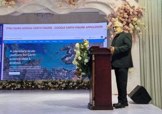
During the workshop, Mr. Kapil Chaudhery delivered a presentation emphasizing the development of GIS solutions in the context of disaster risk management. He highlighted the efficacy of Web GIS, alongside advanced analytical tools such as artificial intelligence and machine learning, in managing planning and construction data, analyzing urban development scenarios, and monitoring natural disaster.


