

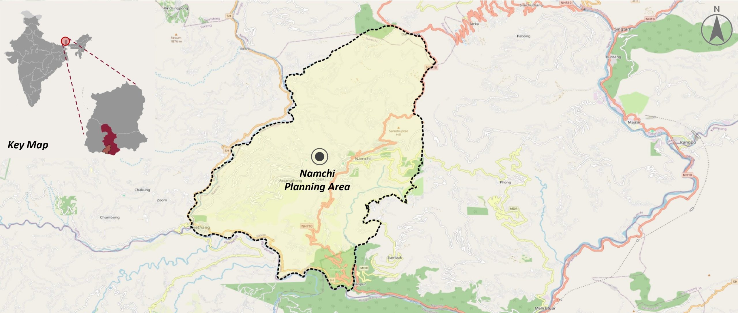
The project focuses on formulating a comprehensive GIS-based Master Plan for the Namchi Planning Area in line with the Sikkim Allotment of House Sites and Construction of Building (Regulation and Control) Act, 1985 and other applicable legislations.


Objectives

Develop a comprehensive GIS base map
using spatial analysis, satellite imagery, and ground-truthing.

Assess existing conditions & infrastructure gaps
to inform planning priorities across sectors.

Formulate sector-wise development strategies
focusing on infrastructure, housing, mobility, and resilience.

Ensure an inclusive and participatory process
through stakeholder consultations and public engagement.
Service Provided
- Preparation of a comprehensive GIS-based database and ground verification of base maps
- Analysis of existing conditions and identification of critical development gaps.
- Facilitation of stakeholder consultations and preparation of the vision document with integrated strategies.
- Drafting and refinement of the GIS-based Master Plan to guide long-term development.
Outcome
A strategic roadmap for inclusive, balanced, and sustainable urban transformation, positioning Namchi as a model of planned growth in Sikkim.