Spatial Intelligence for Smarter, Healthier Communities
GIS is transforming how public health data is collected, analyzed, and used for decision-making
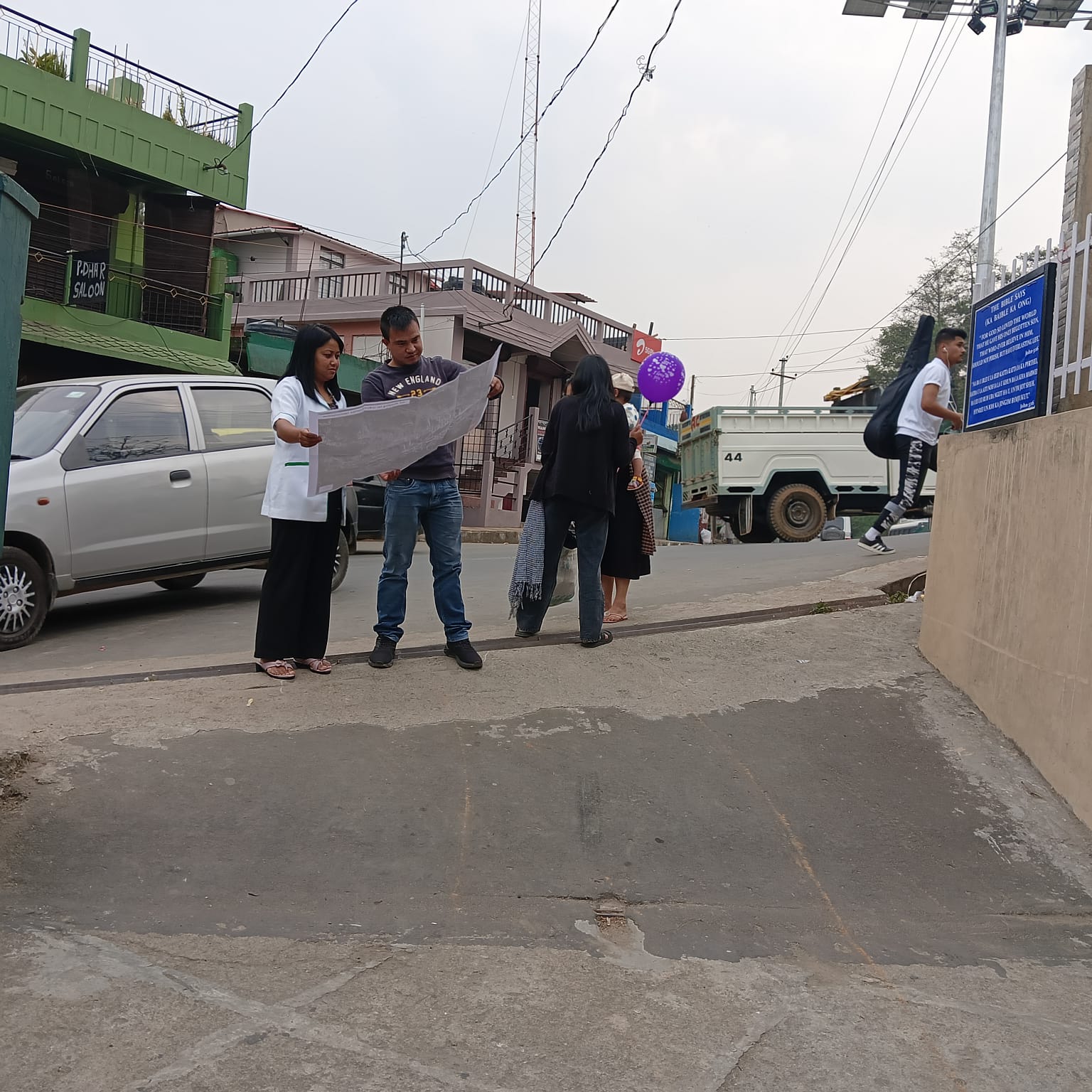
Geographic Information Systems (GIS) provide a centralized spatial platform to visualize and analyze health indicators, disease distribution, healthcare access, and environmental risk factors in real time. It helps decision-makers understand where risks are emerging, which populations are most vulnerable, and where healthcare resources are most needed.
By moving public health data to the web, organizations benefit from faster response times, improved coordination, and better protection of communities.

Overview
GIS Applications in Public Health
Our GIS-based solutions support data-driven healthcare planning, early warning systems, and stronger coordination across public health agencies.
By integrating health records, population data, environmental factors, and healthcare infrastructure into a single web-based spatial platform, Web GIS enables health authorities to monitor disease patterns, assess service coverage, and respond faster to public health risks.
What We Offer
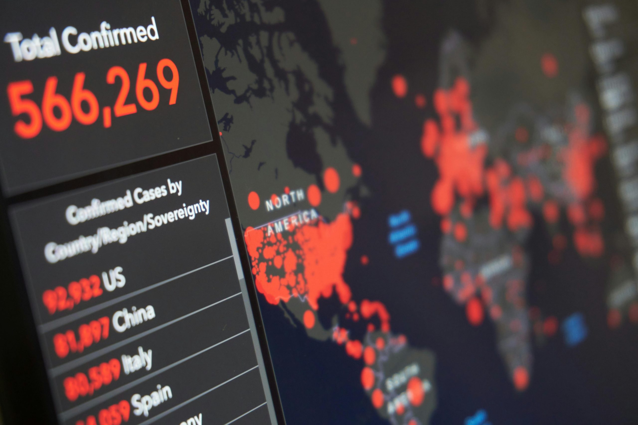
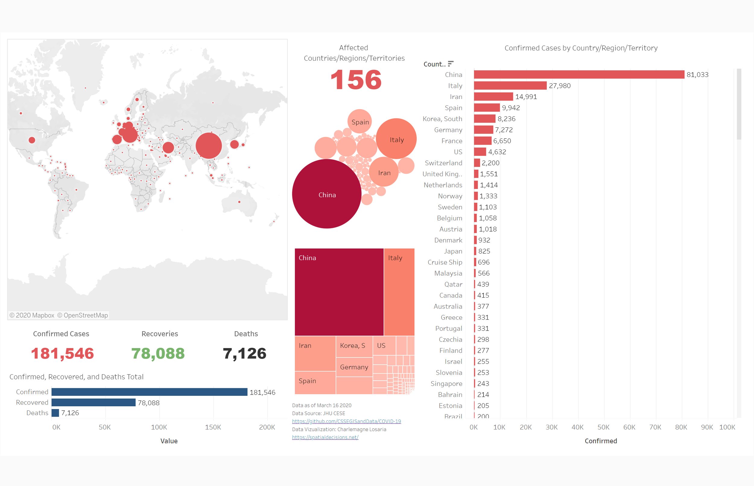
Disease Surveillance & Outbreak Monitoring
Real-time tracking of infectious diseases, hotspots, and transmission trends.
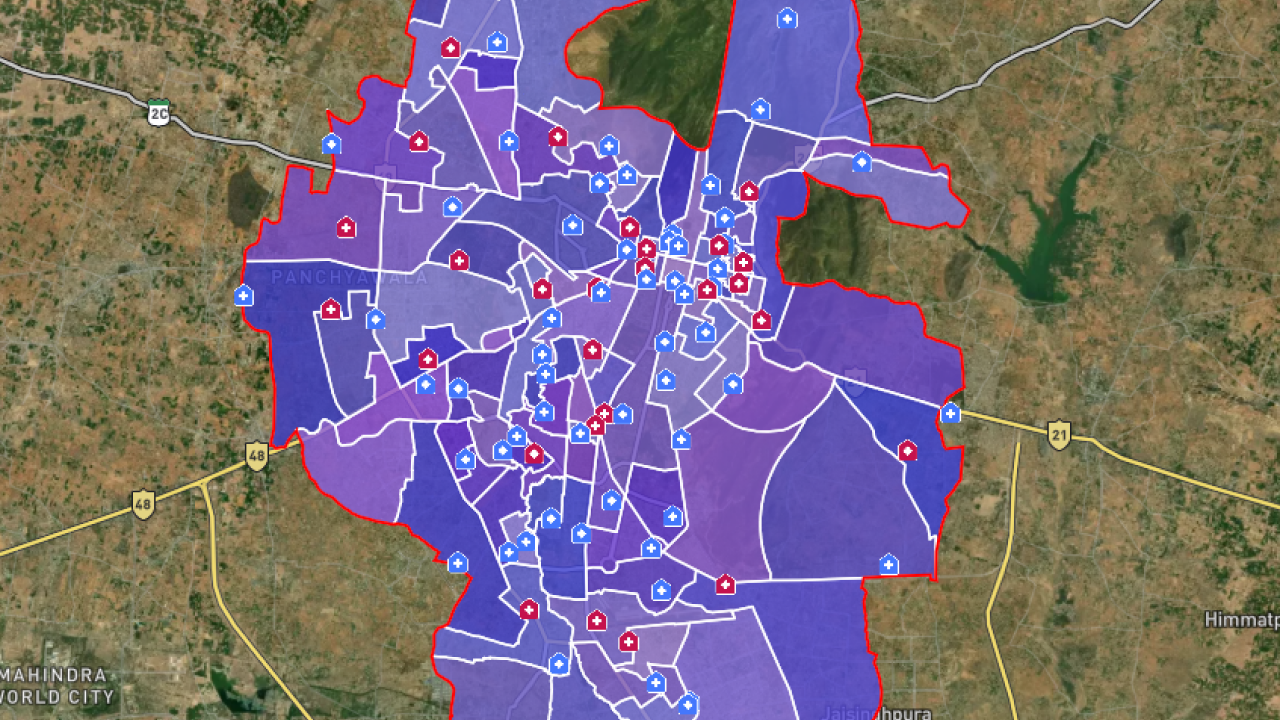
Healthcare Facility Mapping & Accessibility Analysis
Spatial analysis of hospitals, clinics, pharmacies, and emergency services.
Population Health & Vulnerability Mapping
Analysis of age, density, income, and at-risk populations.
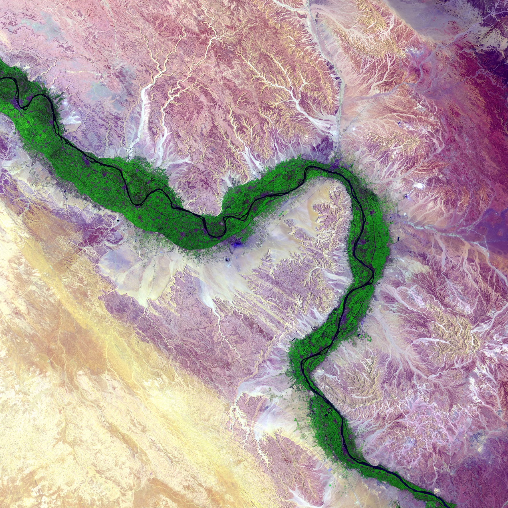
Environmental & Climate Health Risk Mapping
Air quality, heat stress, flood risk, and pollution exposure analysis.

Emergency & Epidemic Response Planning
Support for quarantine zones, resource allocation, and response logistics.
Public Health Dashboards & Reporting
Interactive dashboards for KPIs, trends, and health indicators.