
Smart city solutions enhance urban living, improve sustainability, and optimize resource management
By leveraging advanced technologies like spatial data integration, IoT, AI, and data analytics, smart city platforms enable governments to better understand urban dynamics, optimize operations, and respond effectively to emerging challenges.


Overview
SD Smart City Solutions
Our solutions combine Web GIS, data analytics, and decision support tools to help cities move from isolated systems to connected, intelligent urban management.
Web GIS serves as the spatial backbone, enabling city authorities to monitor conditions, identify patterns, and coordinate actions across departments. In that digital environment, data from multiple urban sectors: transport, utilities, environment, and public health can be visualized and analyzed in real time.
What We Offer
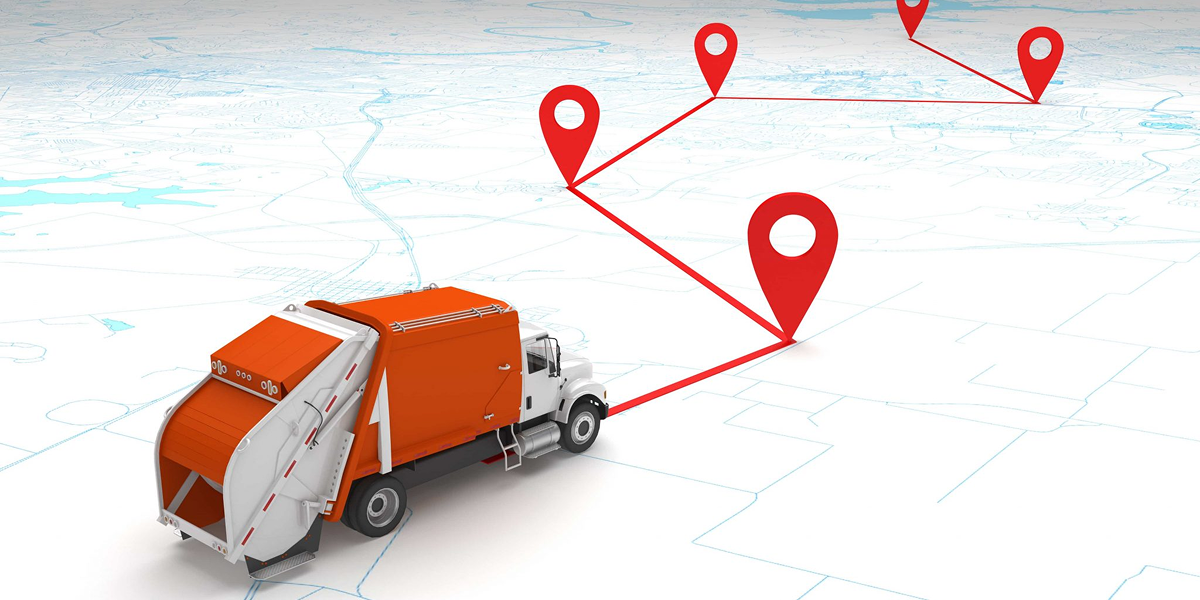
Smart Waste Management
GIS-based monitoring of waste collection routes, bin locations, and service performance, supporting route optimization, service coverage analysis, and data-driven planning.
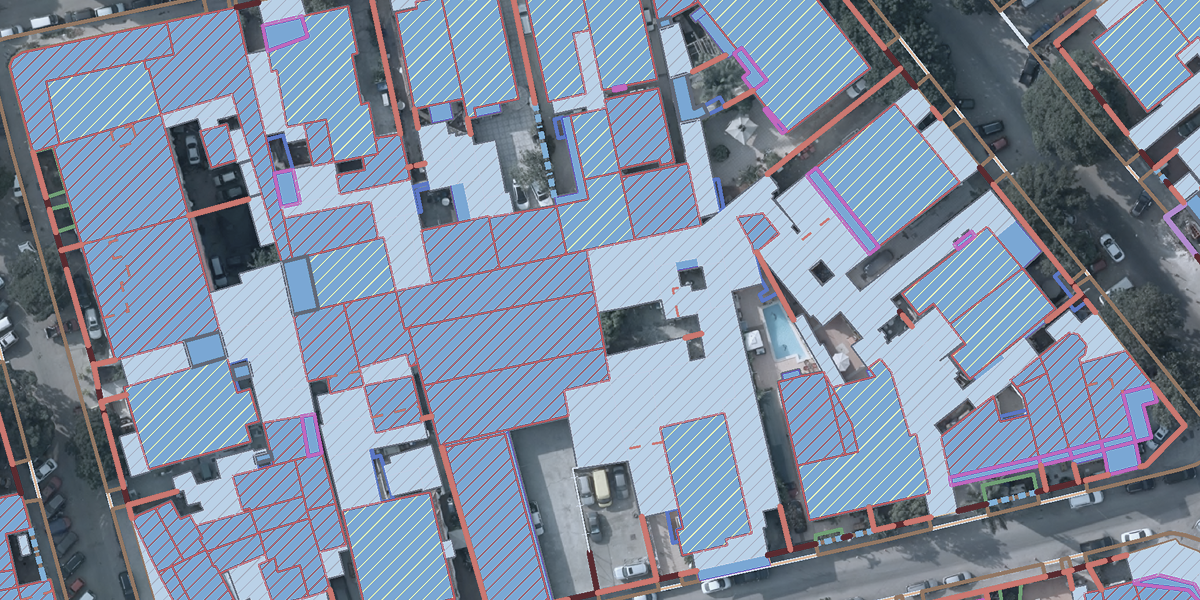
Smart Land Management
Spatial platforms for managing land use, ownership, zoning, and development control.

Smart Parking
Real-time visualization of parking availability, demand analysis, and usage patterns.

Smart Asset Management
GIS-based management of urban assets such as streetlights, roads, public facilities, and utilities.