Year: 2022 – 2025
Location: Ninh Binh – Thanh Hoa – Nghe An – Ha Tinh

In the urban sector, the challenges of climate change combine with those of rapid growth. Across Viet Nam the urban population is expected to increase from 37 million people in 2020 to 47 million by 2030 and since access to basic services, such as sanitation, drainage, and quality of water, remains low in regional towns, there is an urgent need to fund improvements.
In addition to investing in infrastructure, there is an imperative to strengthen capacity in project management, urban infrastructure operations, and urban management for climate resilience.

In order to meet these challenges, stakeholders at various levels, and especially government agencies, require sufficient capacity in terms of human resources: staff with appropriate knowledge and technical skills; guidance, tools, and equipment, including systems to operate and maintain this equipment; and strong institutional arrangements to develop and implement policy and planning, as well review and respond to changing needs.

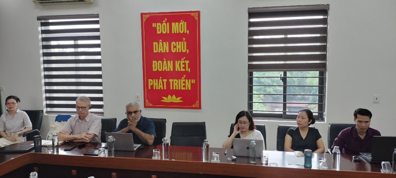
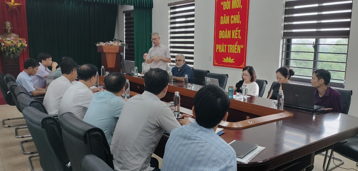
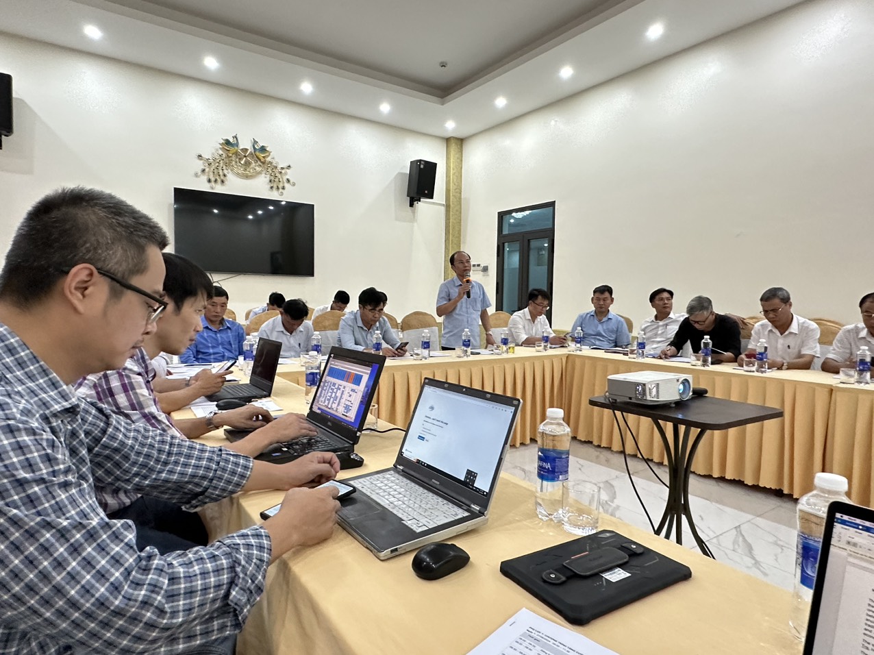
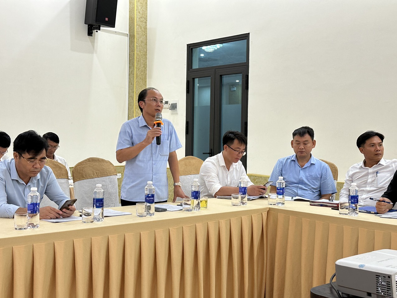
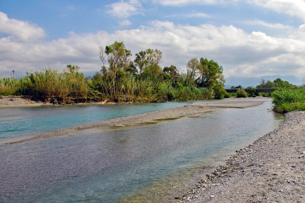
The project supports 5 districts in 4 provinces in north-central Vietnam which are Ha Tinh, Nghe An, Ninh Binh, Thanh Hoa, to strengthen their infrastructures and enhance their capacities of adaptation to the potential effects of climate change. The CRUIV project gathers two components: the implementation of infrastructures in five districts, and a technical assistance (TA) scheme to the benefit of each of those districts.

These areas are prone to flood risks and have identified investments to reduce their impacts including hydraulic infrastructure, road infrastructure, to reduce health and consequences in particular during flood episodes. 
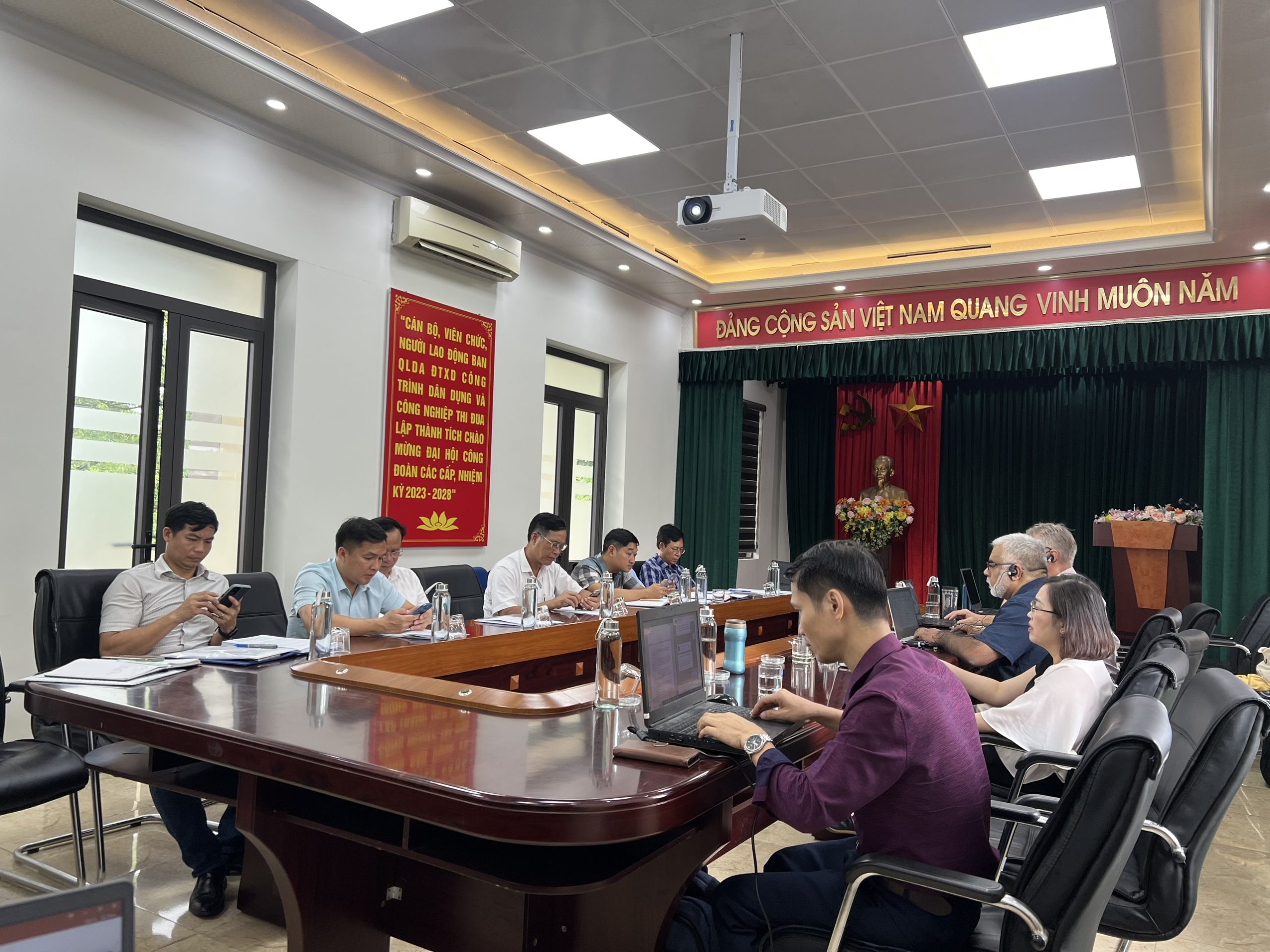
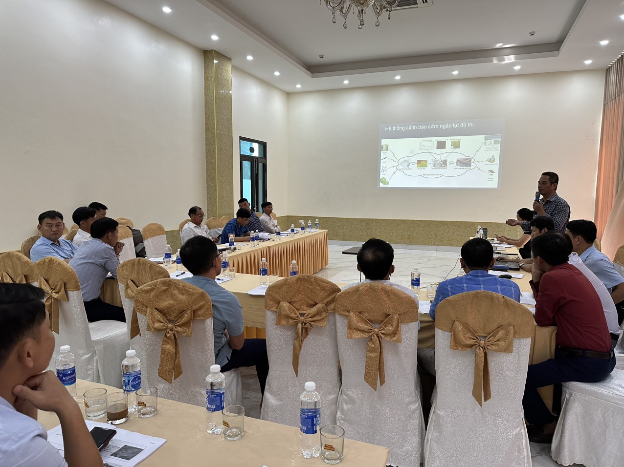
Services Provided

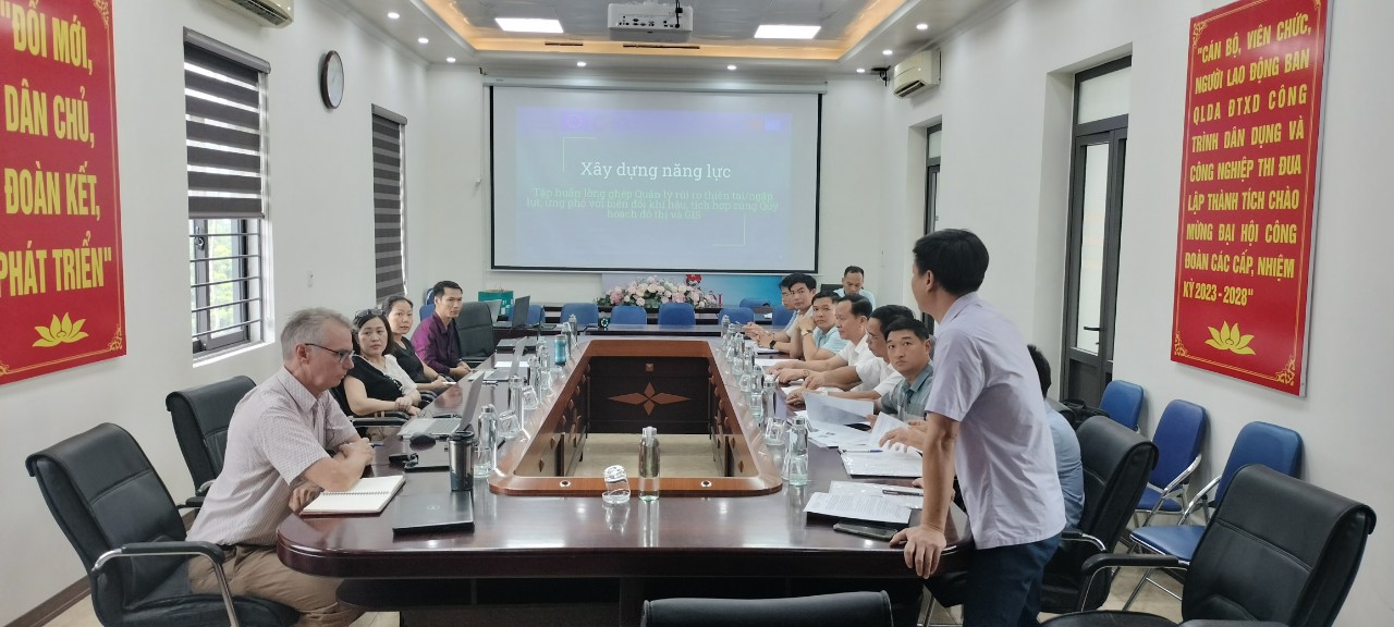
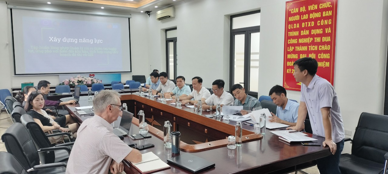
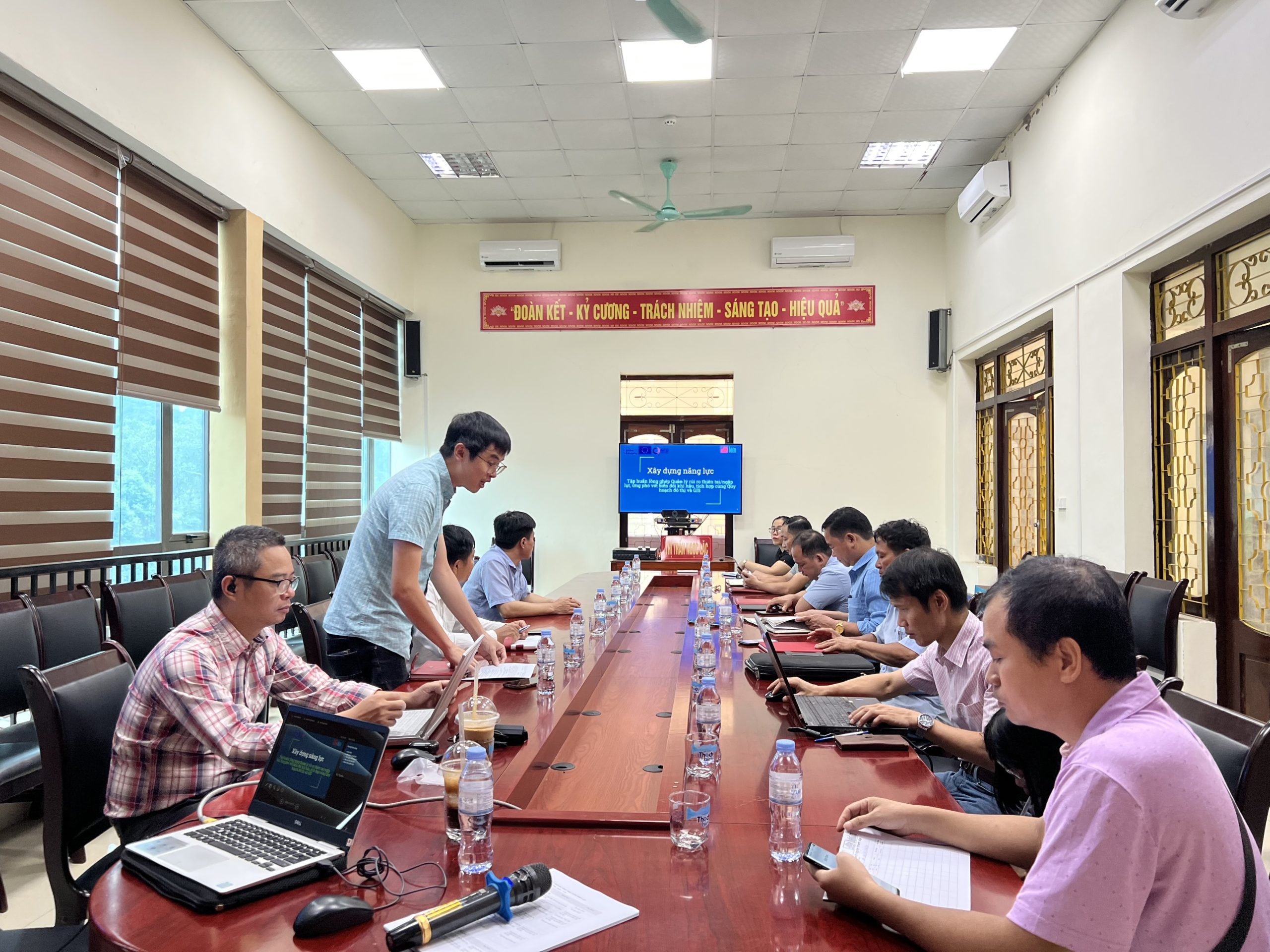
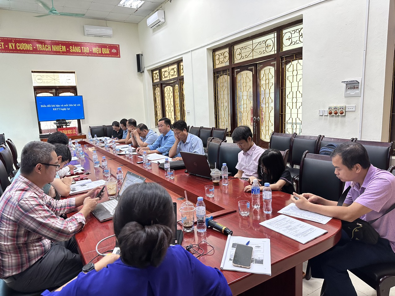
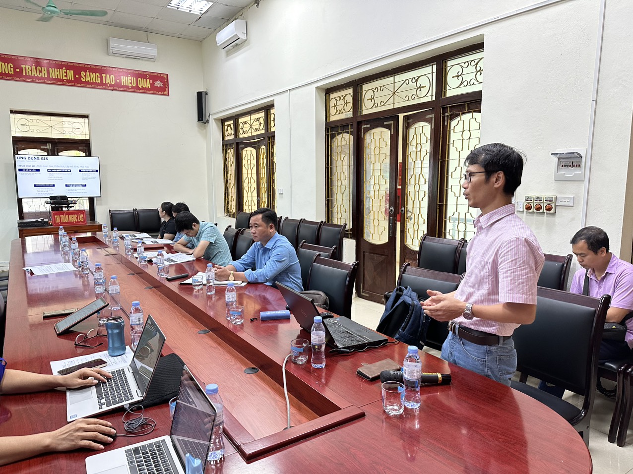
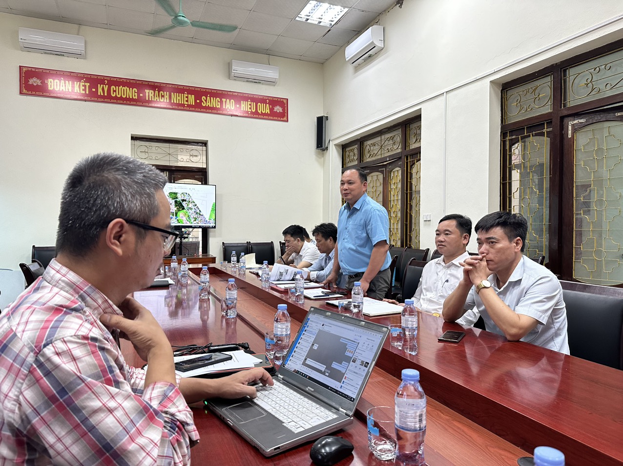
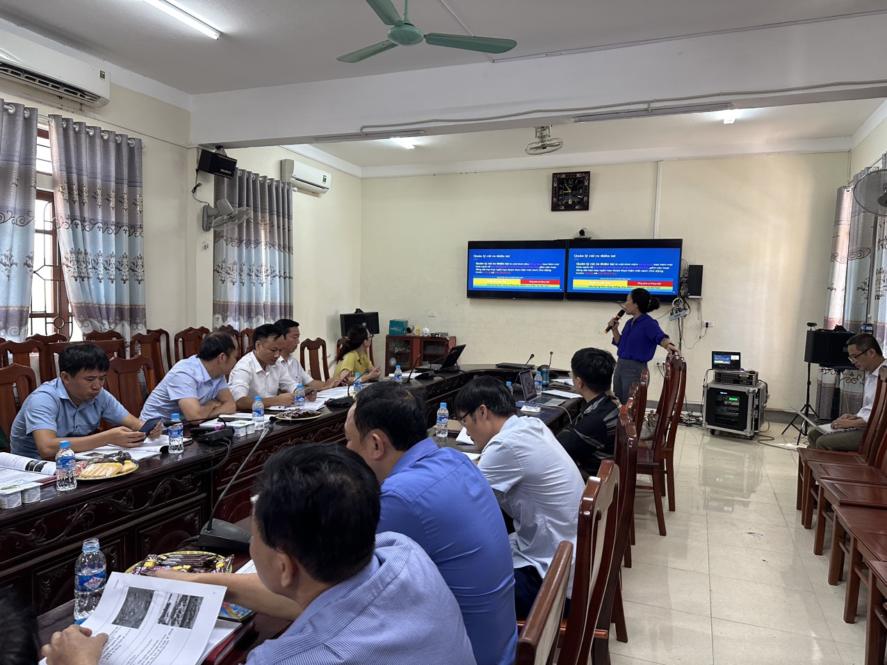
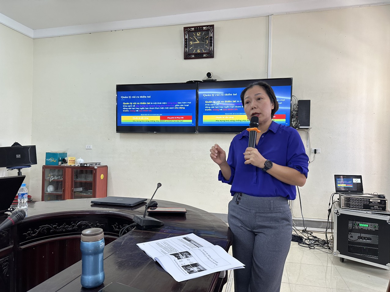
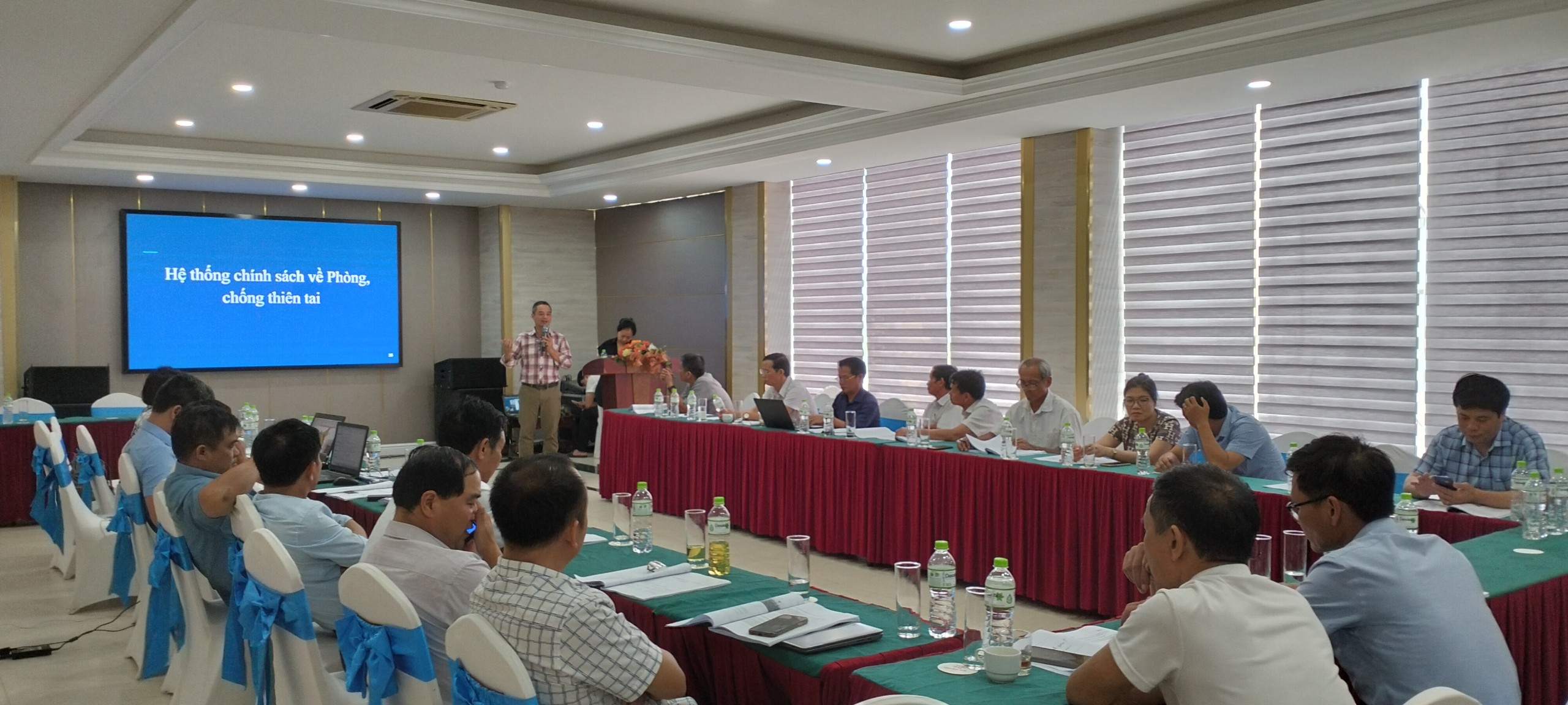
Our team provided specific technical support pertaining to urban planning and resilience, GIS database application and capacity building activities. Specifically:

  • Leading and overseeing the work with team for urban planning and GIS task.
  • Providing the guidelines and recommends investments looking toward green design, smart city, nature-based solutions (NBS) and architectural landscaping.
  • Contributing Thematic support 2 work which are related to urban resilience to Climate Change (landscaping solutions, urban design)
  • Supporting the 5 districts in setting up the foundations for a GIS office, the data management, and the primary GIS system.
  • Develop GIS proposals as well as sharing the lessons learned from this and other projects
  • Contribution to different technical assessments related to GIS and urban planning and provide recommendations.
  • Sharing with the districts ideas to reorient their master plans with overall major investments, for the development of smart city and sustainable development planning for each district.
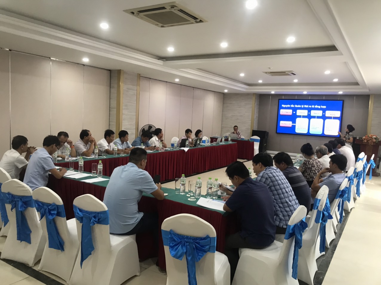
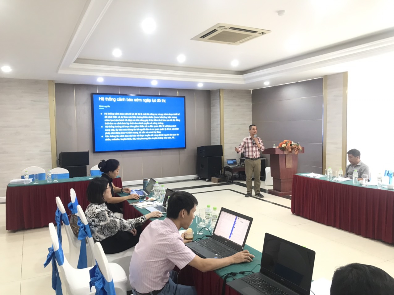
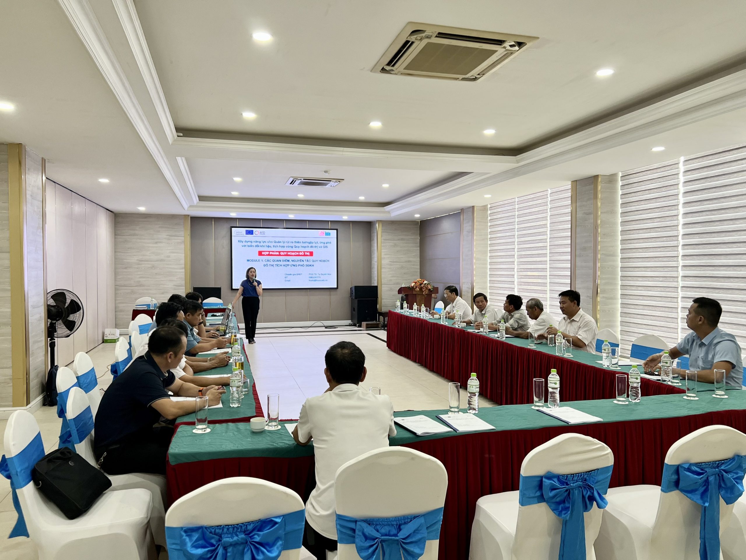
  • Leading Capacity building implementation and evaluation for Thematic support 1 – Urban planning and GIS.
  • Overall responsibilities in leading work related to GIS and Urban planning as required or modified during the implementation period.

The Geographic Information System was known quite early in Vietnam and is now widely applied in many areas, but mainly focusing in the fields of resource management and environment. In urban planning, GIS has only recently received attention with some research demonstrating applications for GIS in surveying and measurement work, planning management, and technical infrastructure management (green trees, water supply, etc).

Goal

The overall purpose of the Capacity Building Plan for Urban planning and GIS is to increase technical skills and spatial data exploration for local authorities and department staff in urban management and decision making.
This Plan sets out the framework, guiding principles, and key elements for capacity building activities to be implemented in the CRUIV Project. It also describes the implementation, coordination, and monitoring of these activities.

Objective

  • Raise awareness in local authorities on recent and relevant initiatives and policies of the government of Viet Nam on strengthening climate-resilient urban planning and relevant GIS applications.
  • Enhance knowledge with leaders and government officers on practical approaches of GIS based urban planning for climate-smart cities.
  • Strengthen capacity with government officers and departments’ staff GIS technical skills and technology in urban sustainable development.

Expected Outcomes

  • Capacity to use basic tools in GIS software; open data files, make small edits, print maps as required for projects and decision making.
  • Capacity to collect and integrate simple data into GIS database.

Ninh Binh

Thanh Hoa

Nghe An

Ha Tinh