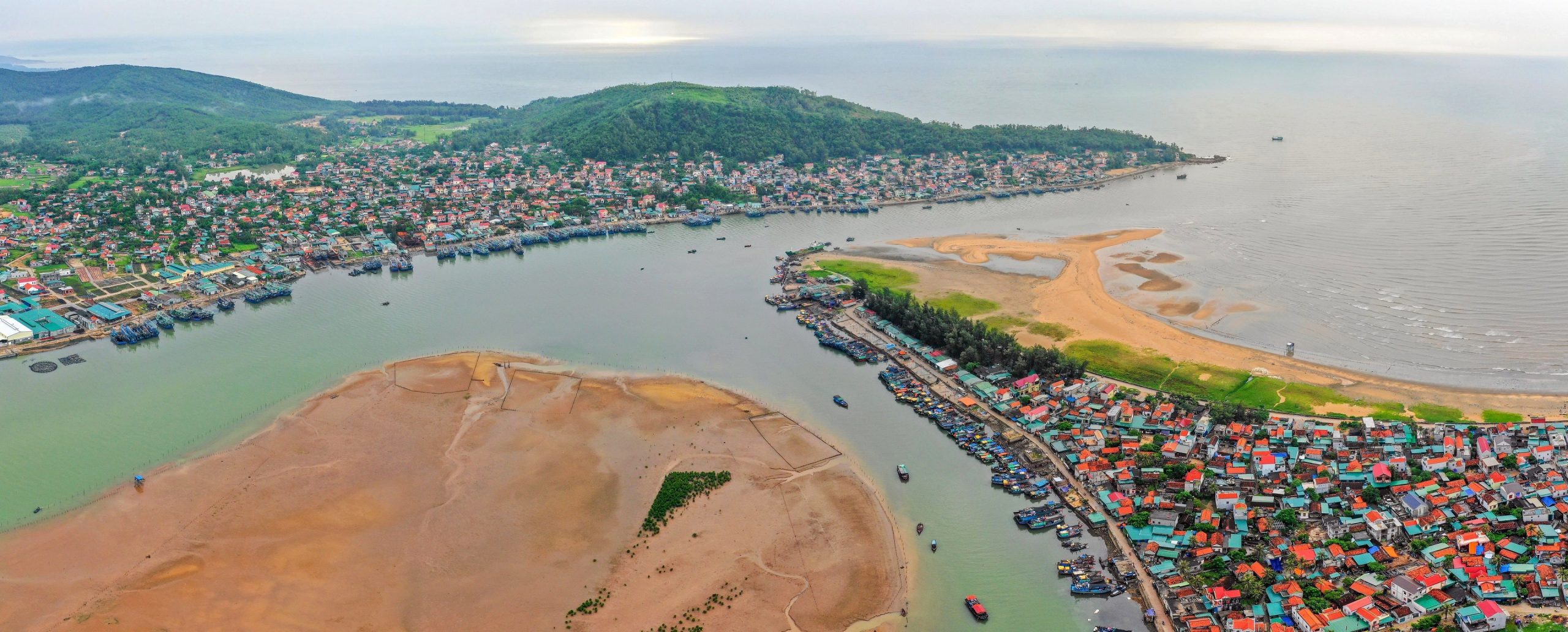
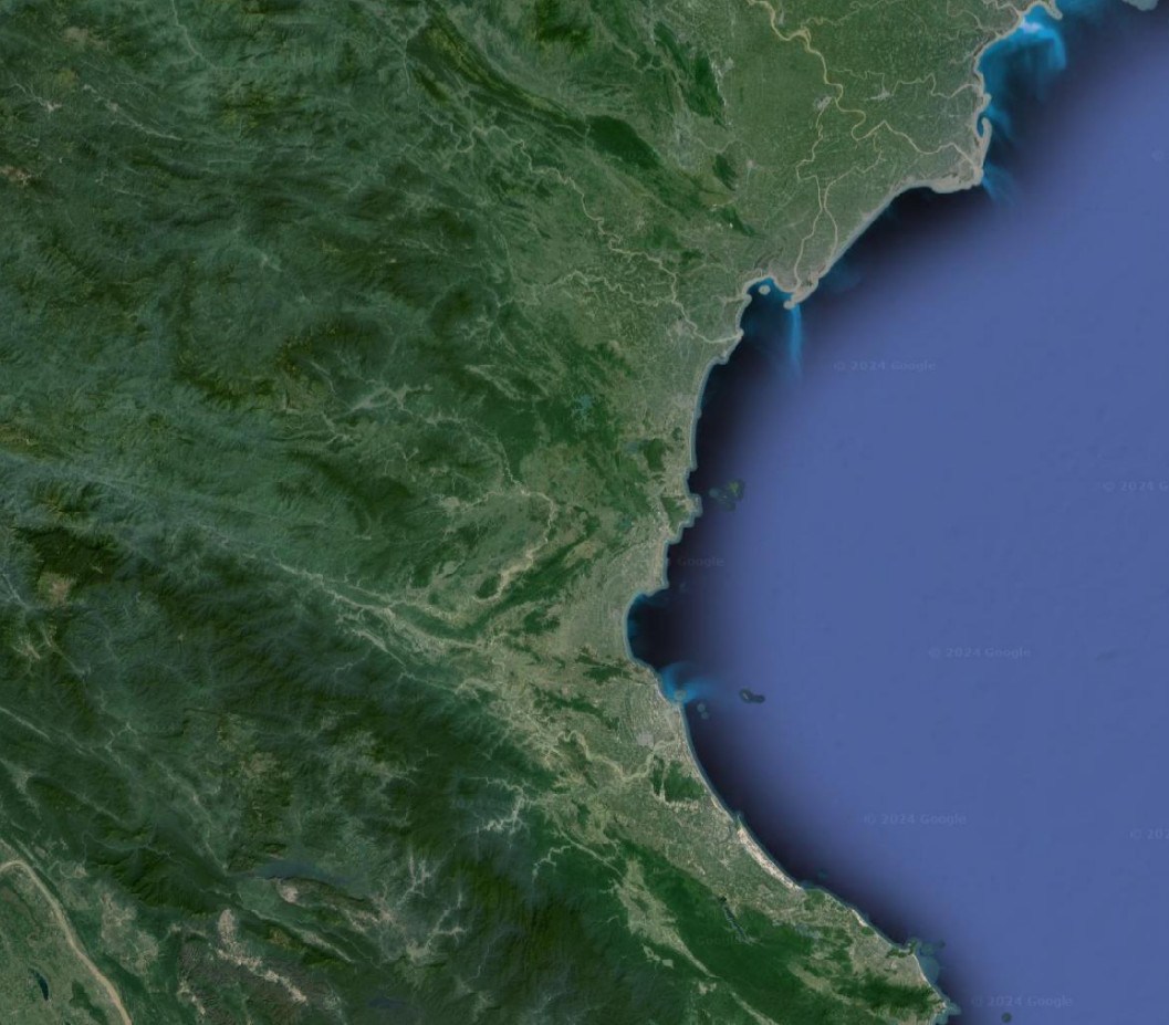
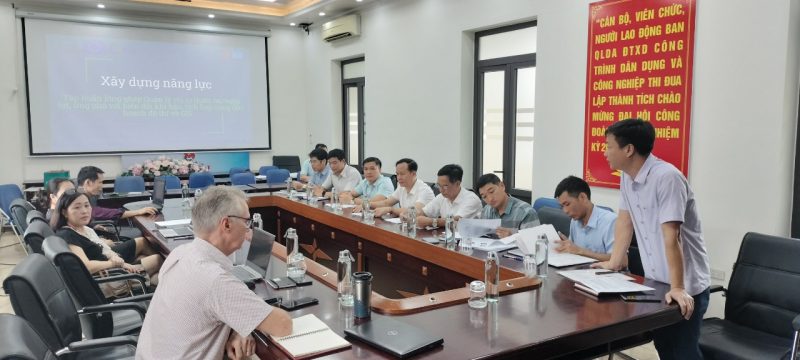
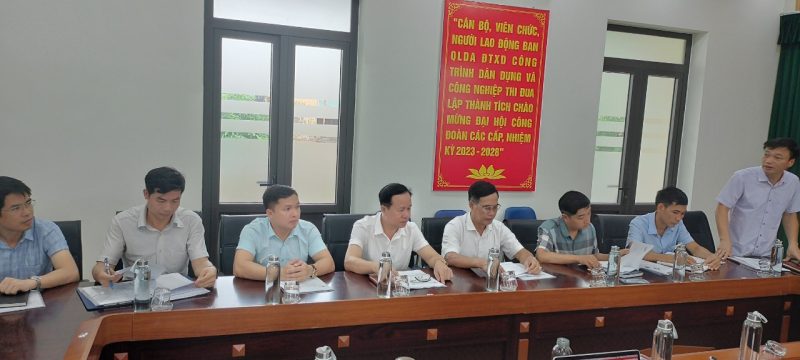
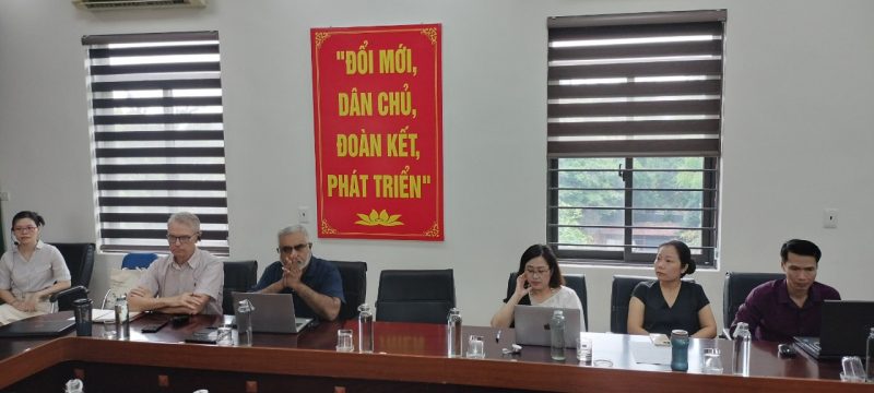
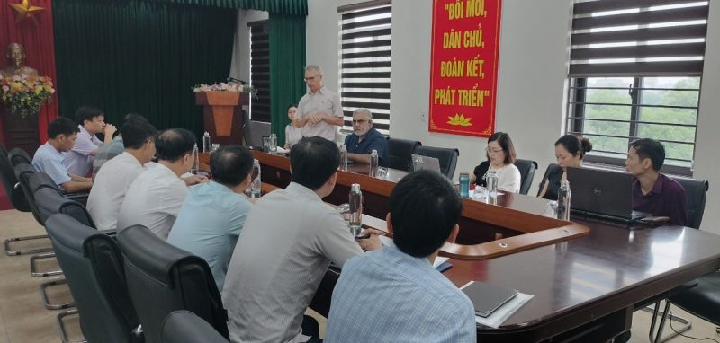
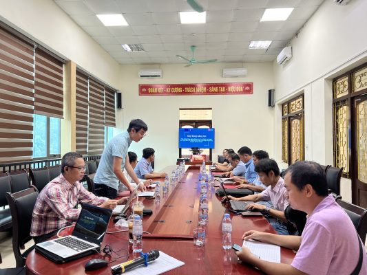
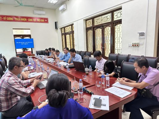
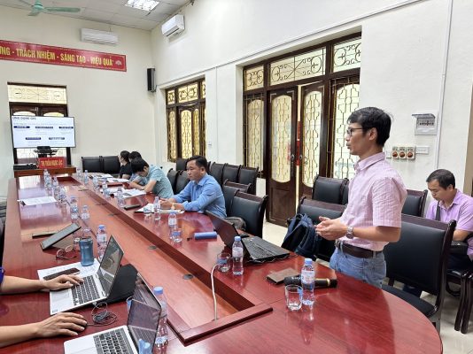
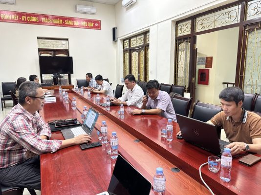
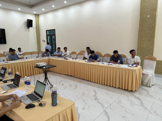
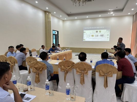
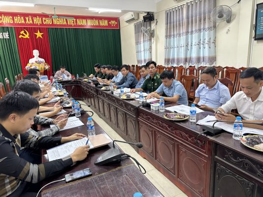
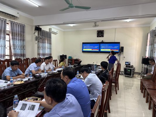
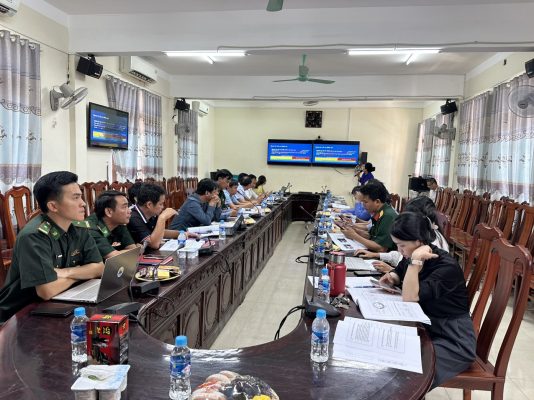
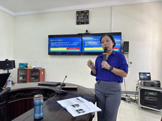
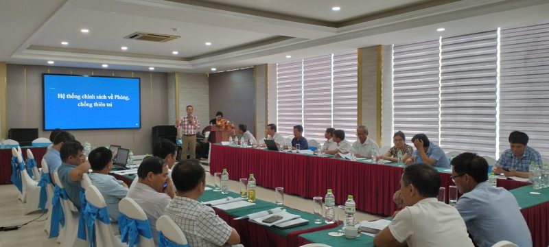
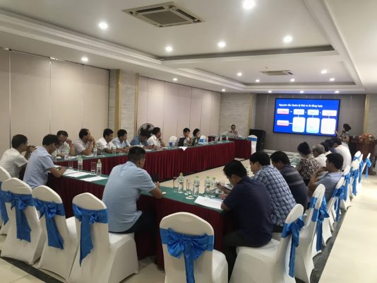
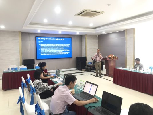
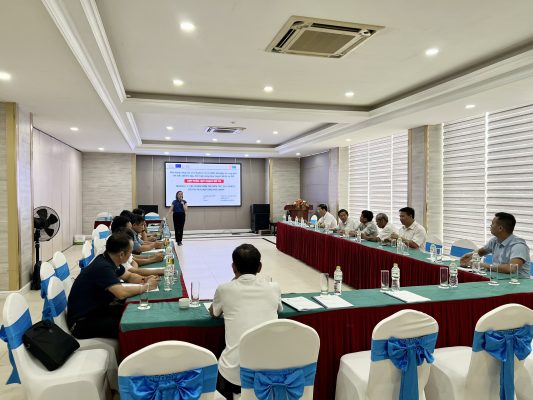
The project supports 5 districts in 4 provinces in north-central Vietnam which are Ha Tinh, Nghe An, Ninh Binh, Thanh Hoa, to strengthen their infrastructures and enhance their capacities of adaptation to the potential effects of climate change. The CRUIV project gathers two components: the implementation of infrastructures in five districts, and a technical assistance (TA) scheme to the benefit of each of those districts.
These areas are prone to flood risks and have identified investments to reduce their impacts including hydraulic infrastructure, road infrastructure, to reduce health and consequences in particular during flood episodes.

Services Provided
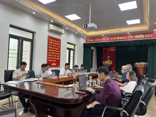
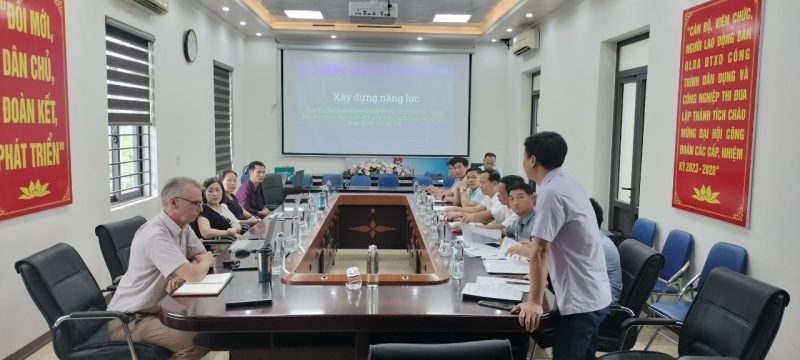
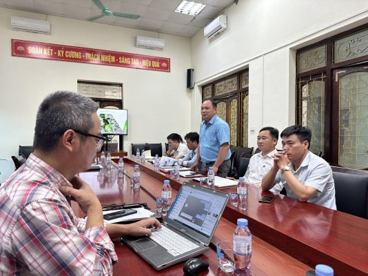
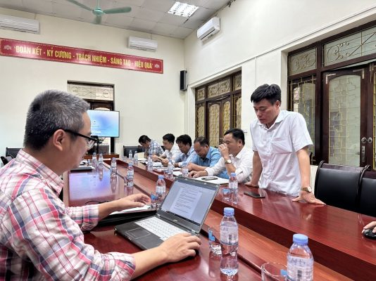
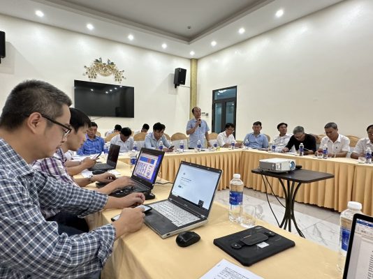
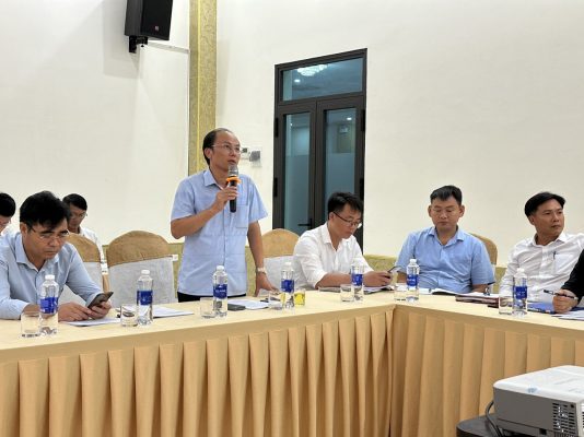
Our team provided specific technical support pertaining to urban planning and resilience, GIS database application and capacity building activities. Specifically:
- Leading and overseeing the work with team for urban planning and GIS task.
- Providing the guidelines and recommends investments looking toward green design, smart city, nature-based solutions (NBS) and architectural landscaping.
- Contributing Thematic support 2 work which are related to urban resilience to Climate Change (landscaping solutions, urban design)
- Supporting the 5 districts in setting up the foundations for a GIS office, the data management, and the primary GIS system.
- Develop GIS proposals as well as sharing the lessons learned from this and other projects
- Contribution to different technical assessments related to GIS and urban planning and provide recommendations.
- Sharing with the districts ideas to reorient their master plans with overall major investments, for the development of smart city and sustainable development planning for each district.
- Leading Capacity building implementation and evaluation for Thematic support 1 – Urban planning and GIS.
- Overall responsibilities in leading work related to GIS and Urban planning as required or modified during the implementation period.


