
The primary goal of master plan is to develop economic potential of the area with the development of infrastructure and other facilities in a sustainable and planned way.
Key Tasks Achieved
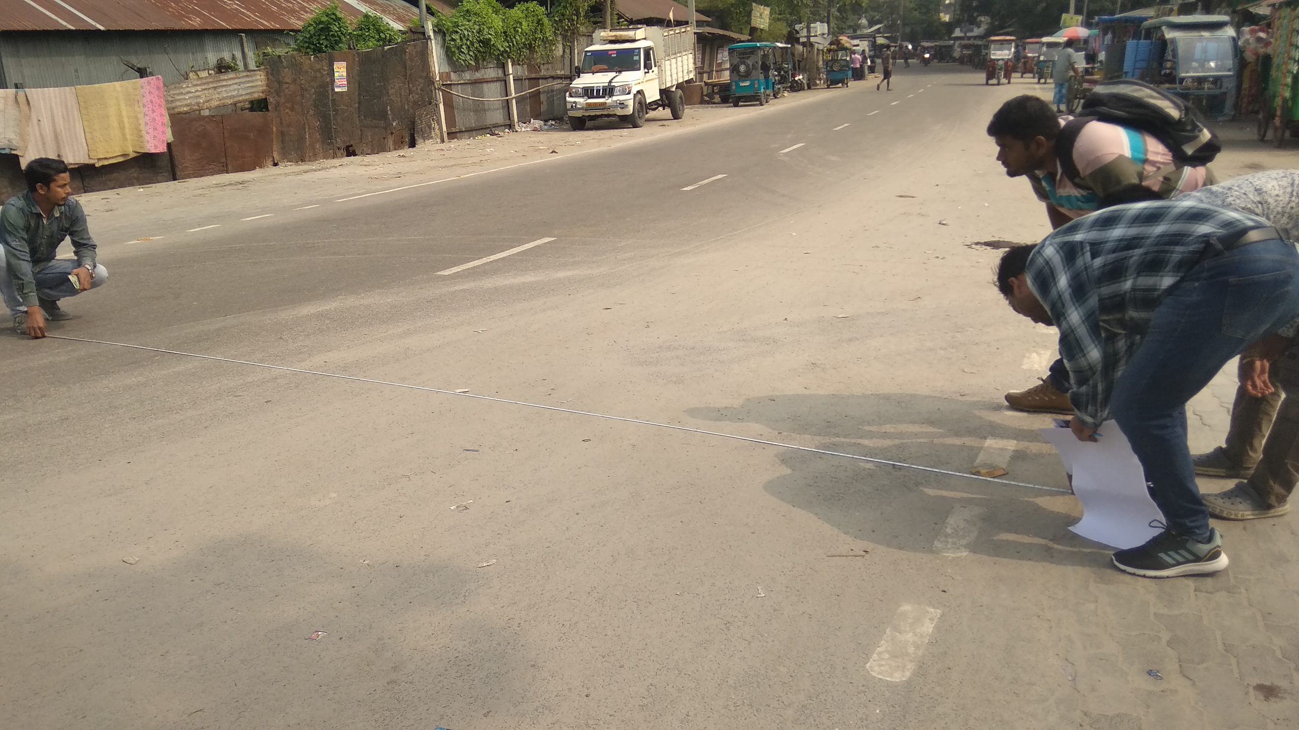
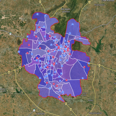
- Geo-referencing and digitization of cadastral map and physical features
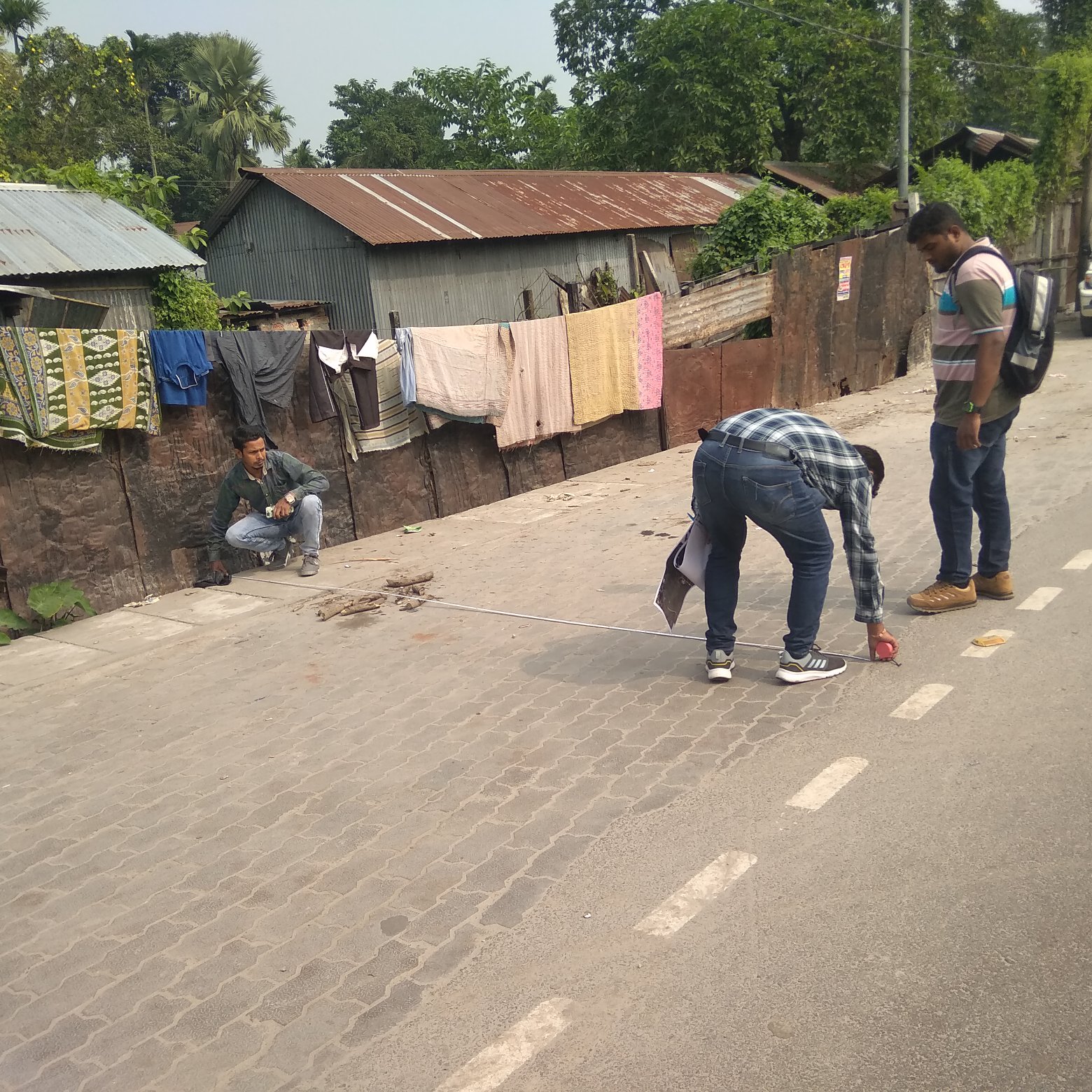
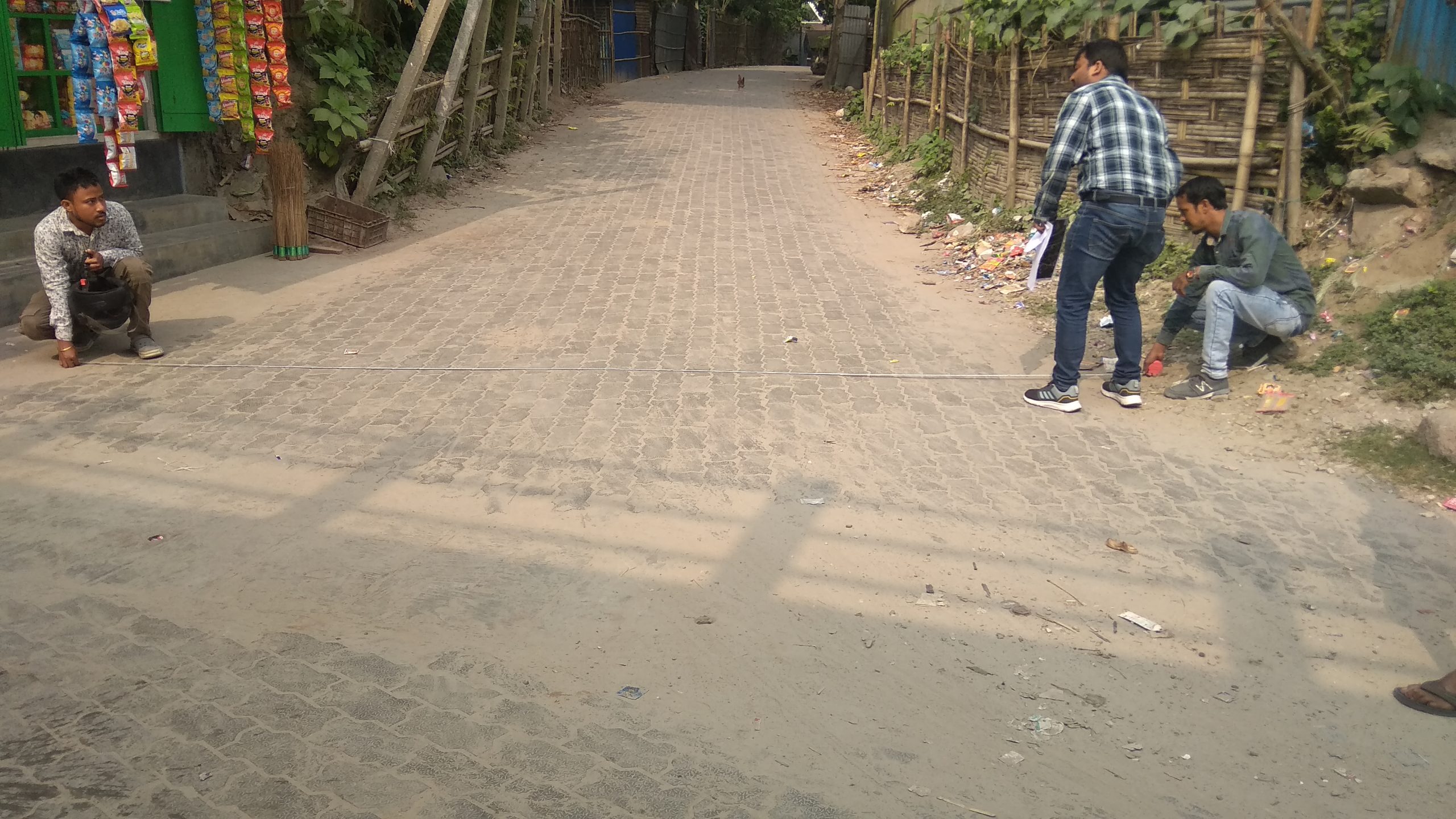
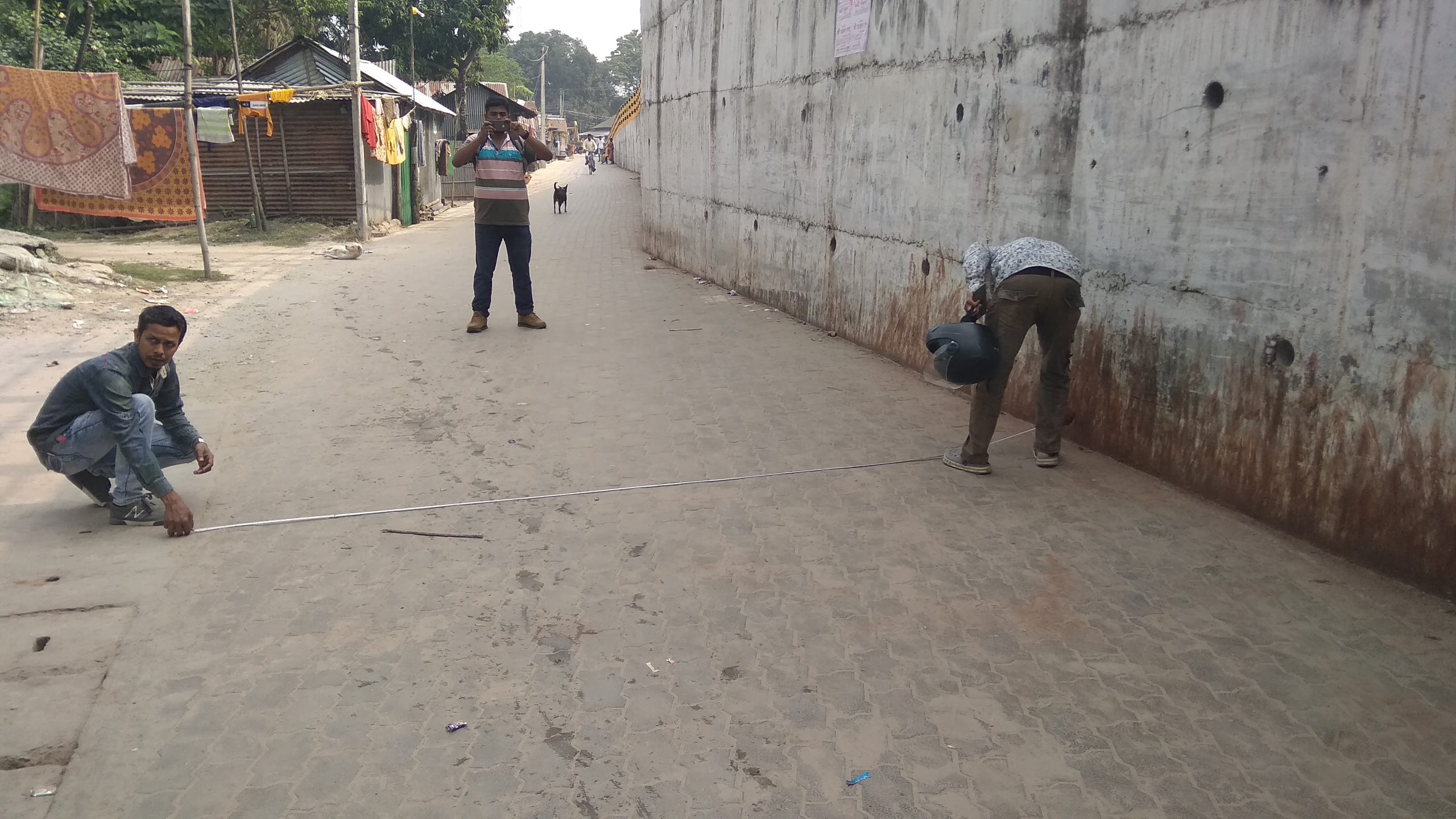
- Preparation of Base Map and ground truthing
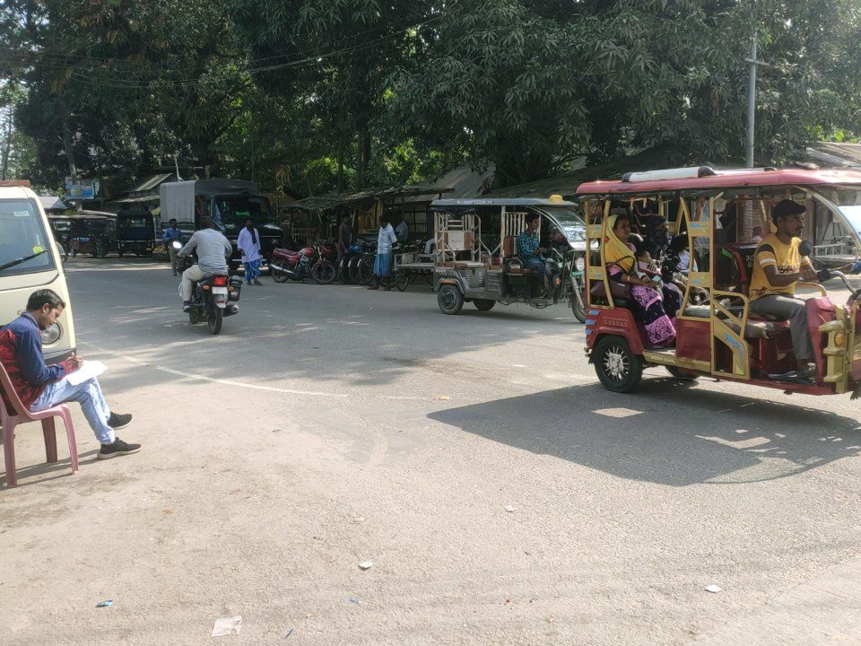
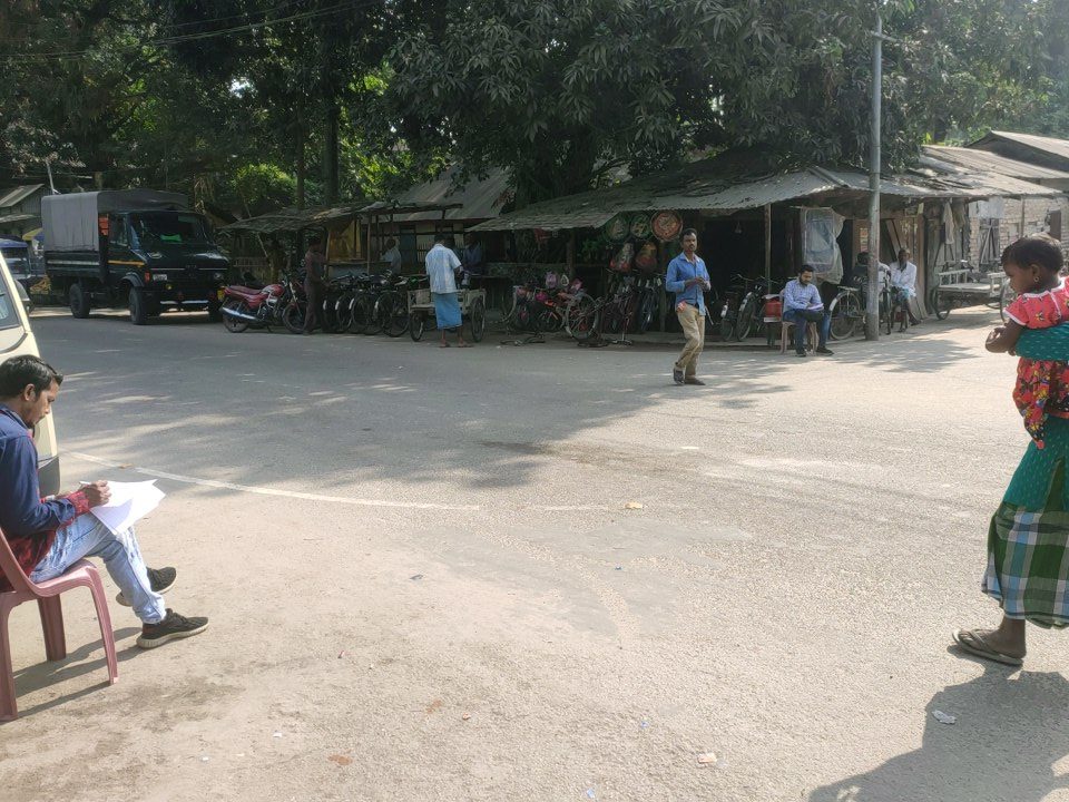
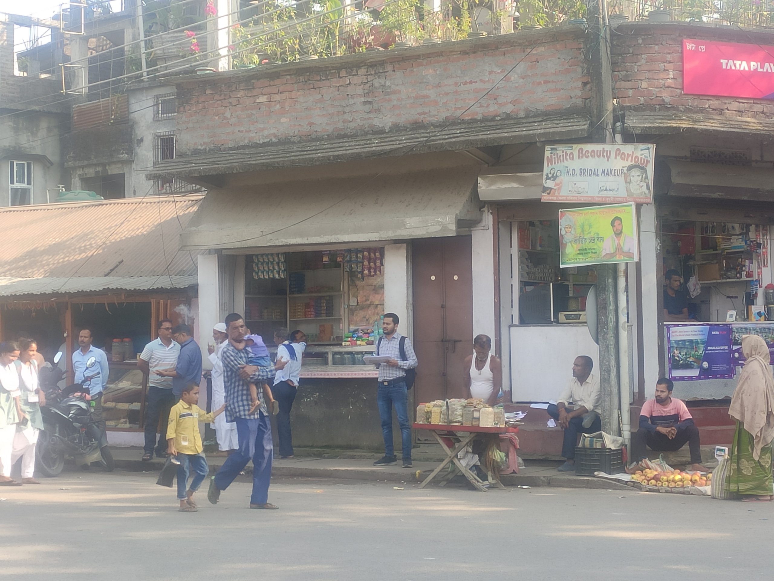
- Data collection- Primary and Secondary
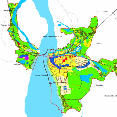
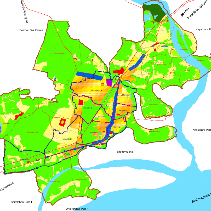
- Land use Survey of the demarcated area (Chapar Master Plan Area.)
- Preparation of GIS based Existing Land Use Map & Existing Utility Map
- Proposed land use map, Zoning map, Circulation map, Public utilities map
- Preparation of Master Plan Report
- Zoning Regulations