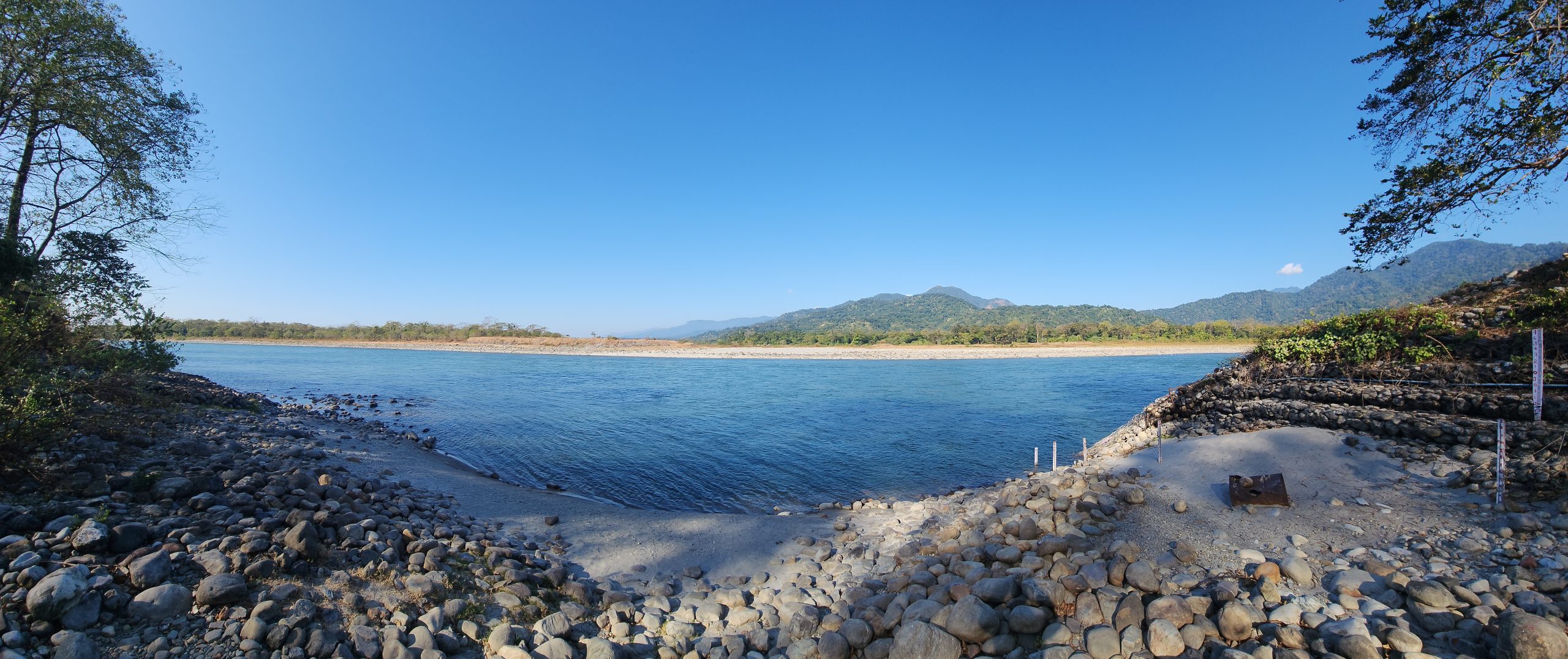
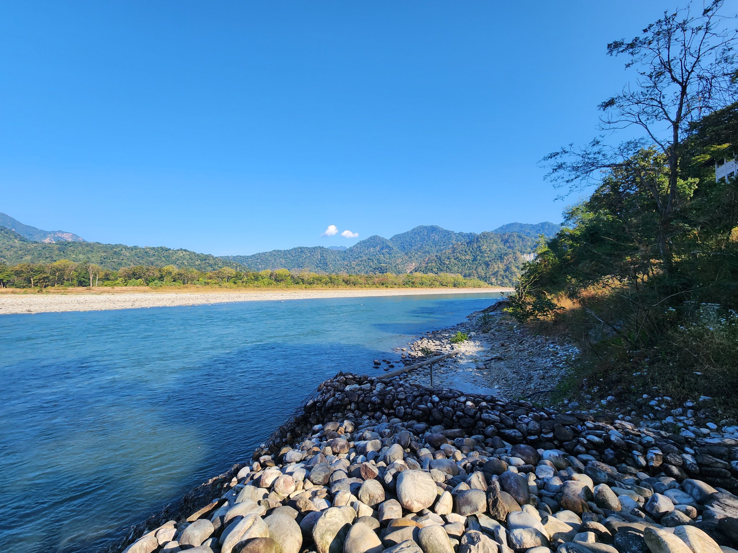
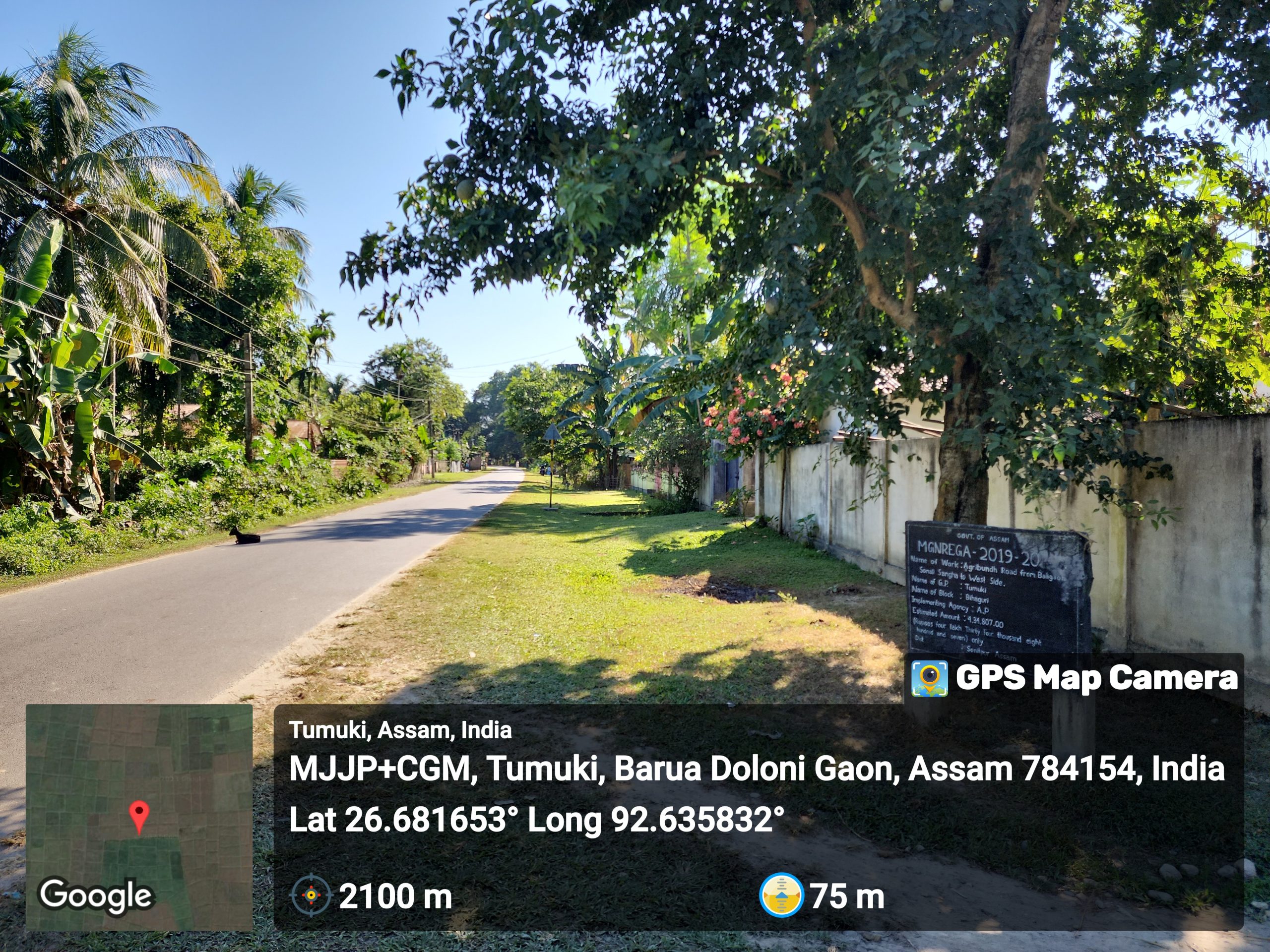
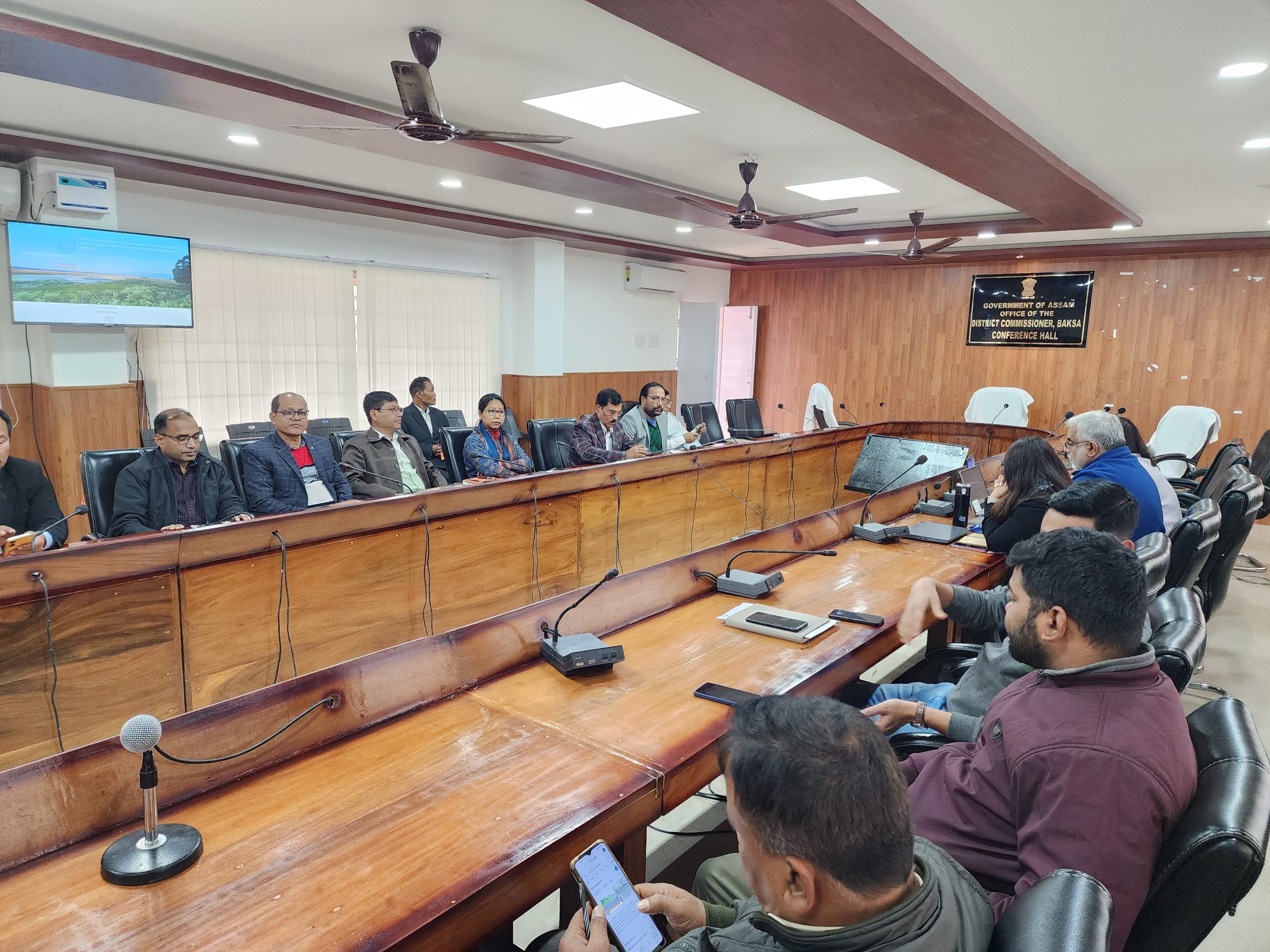
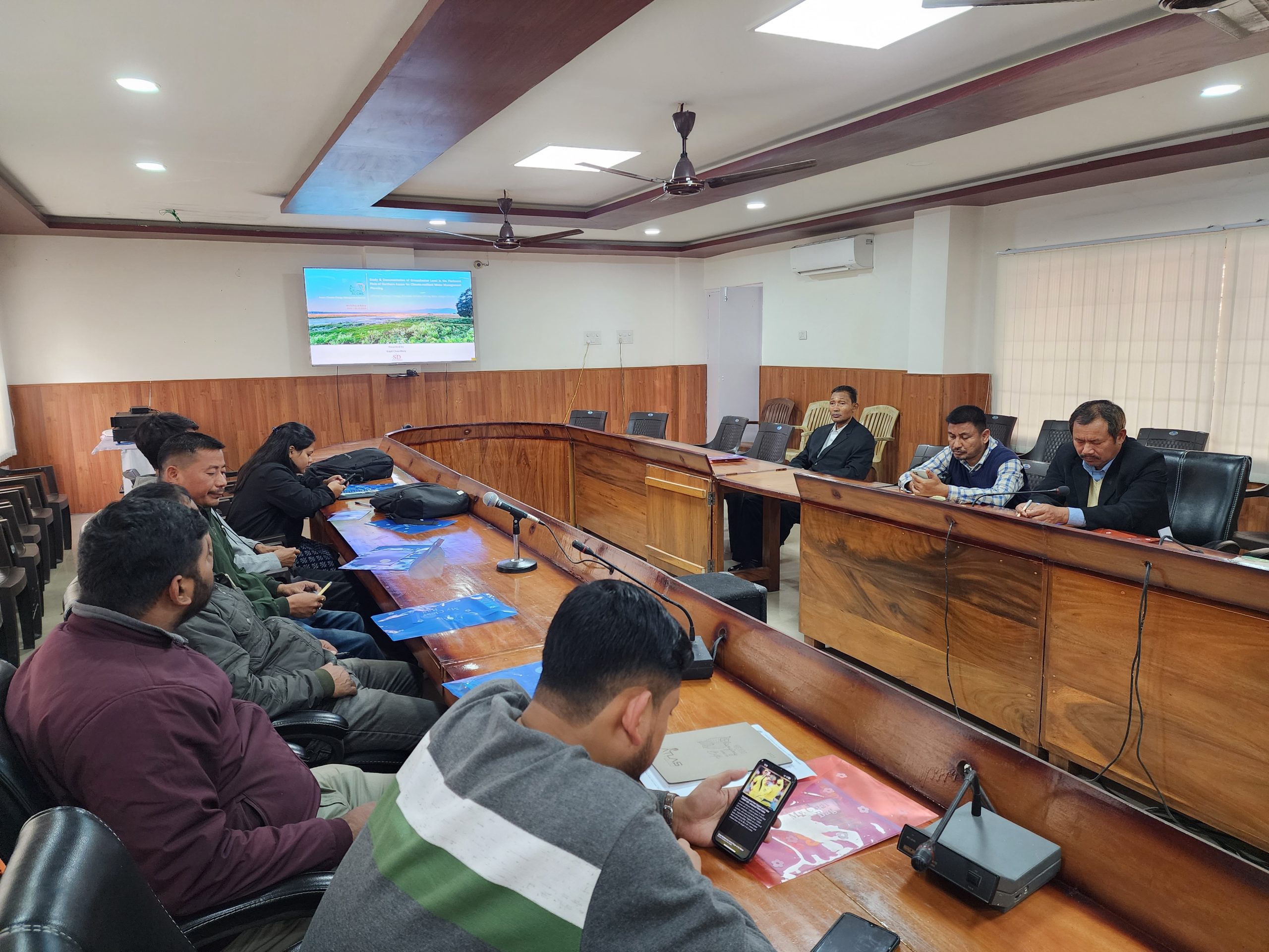
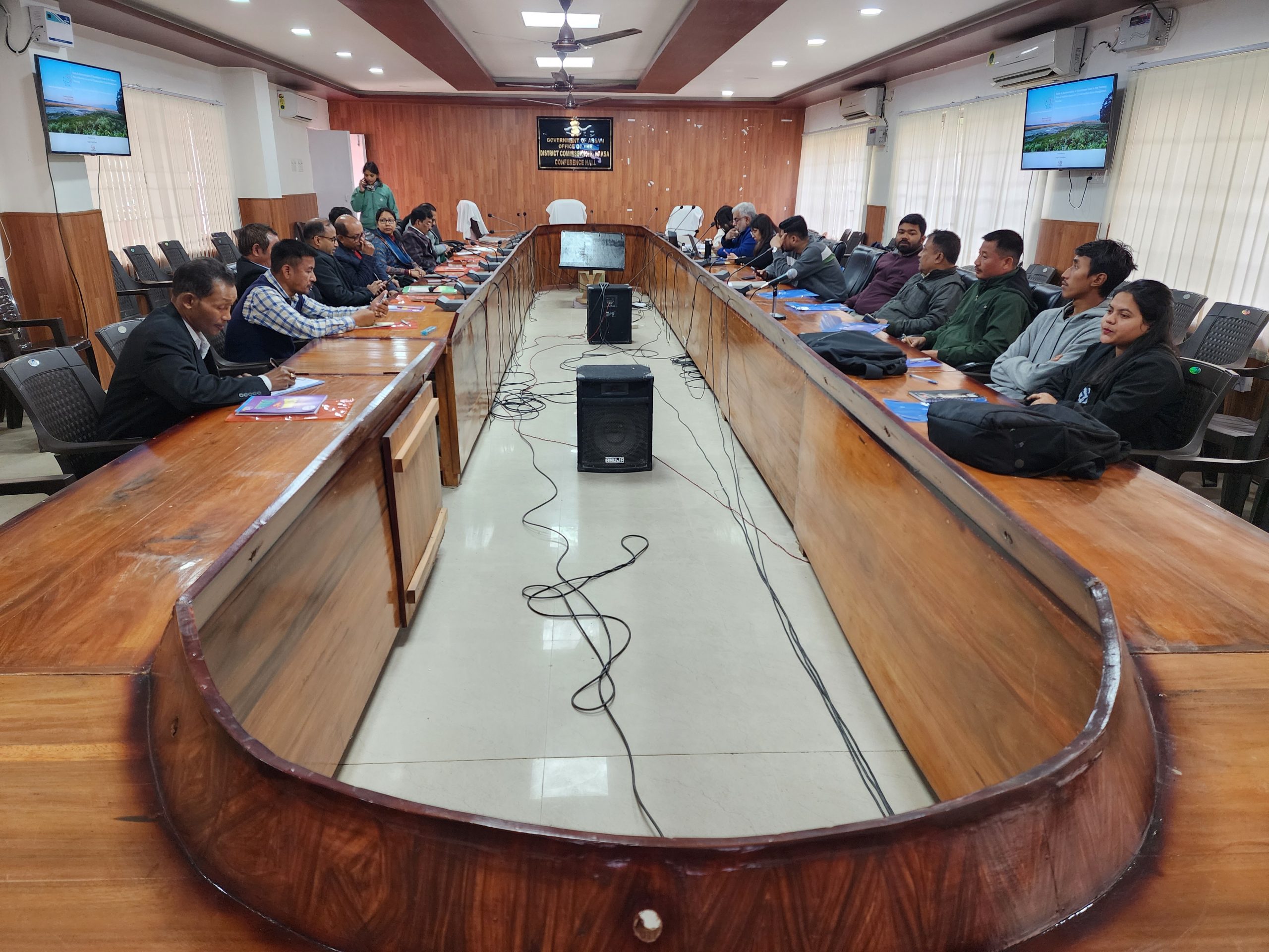
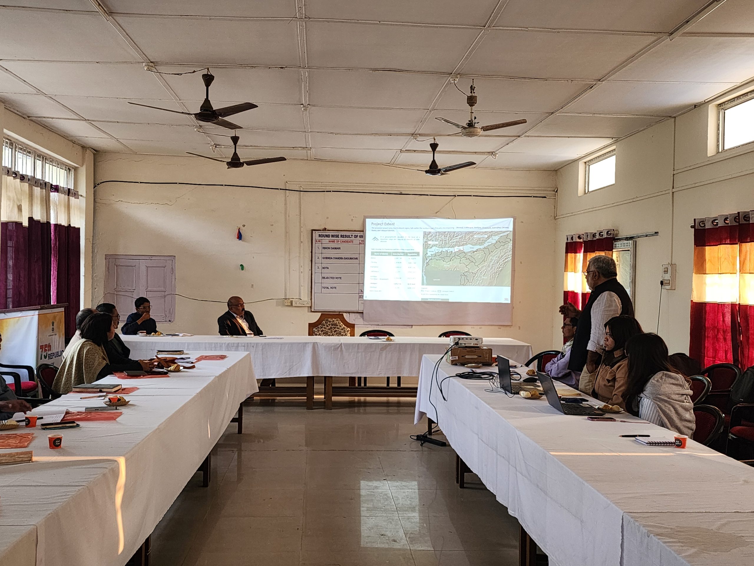
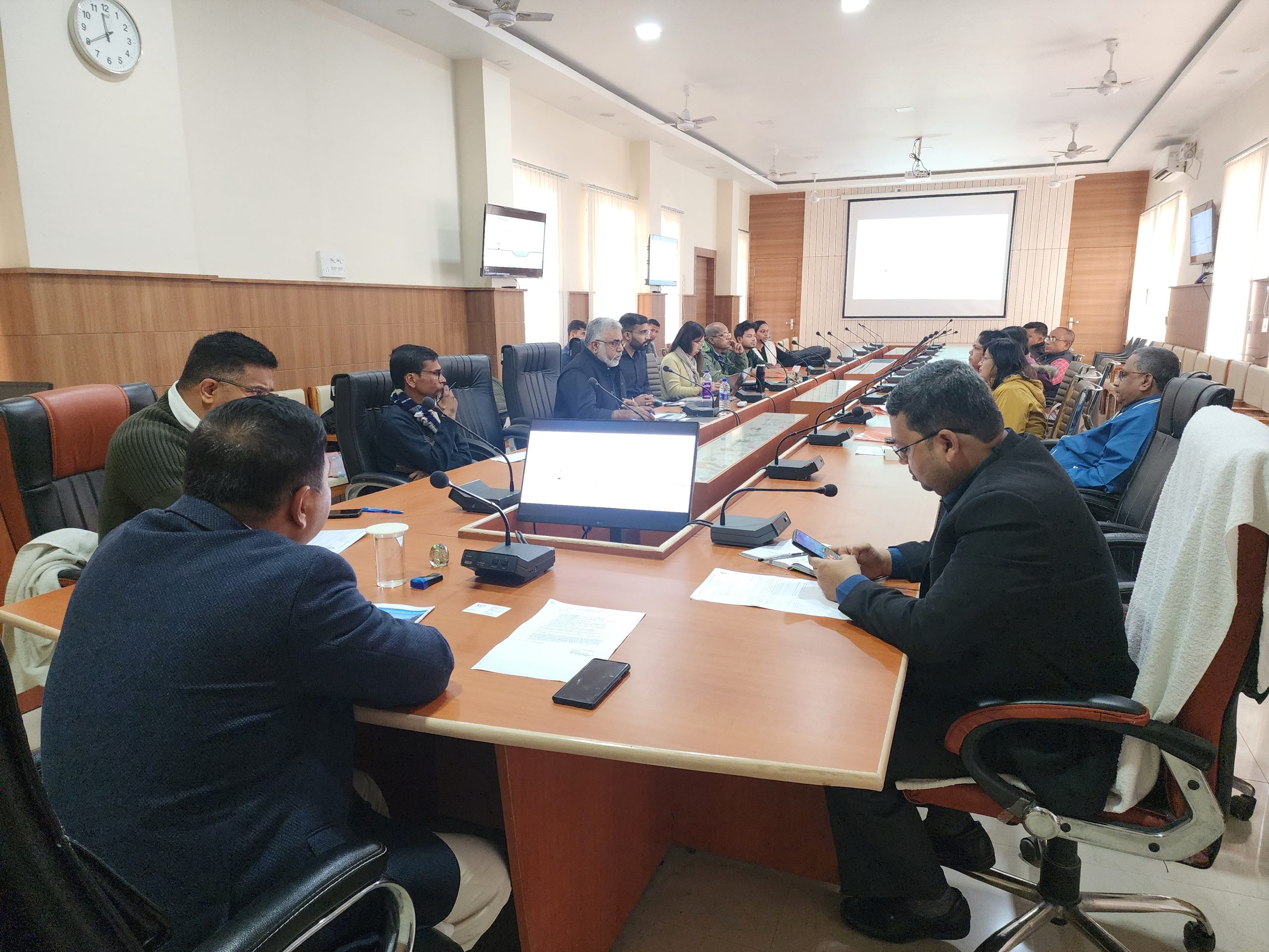
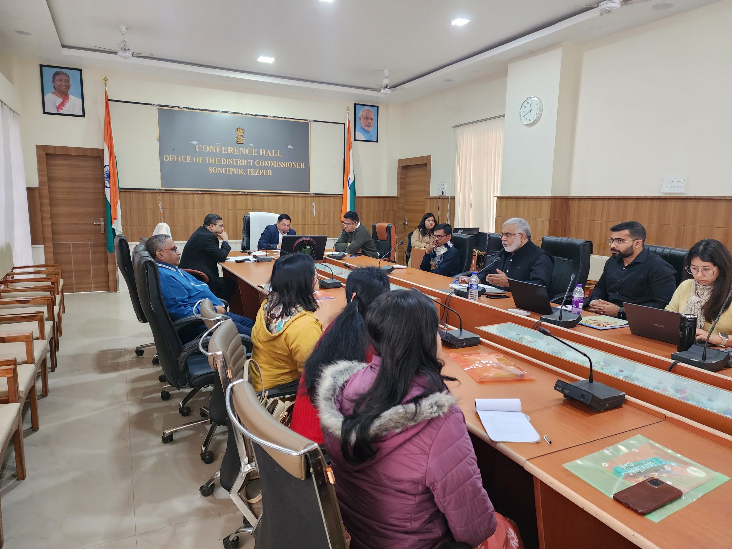
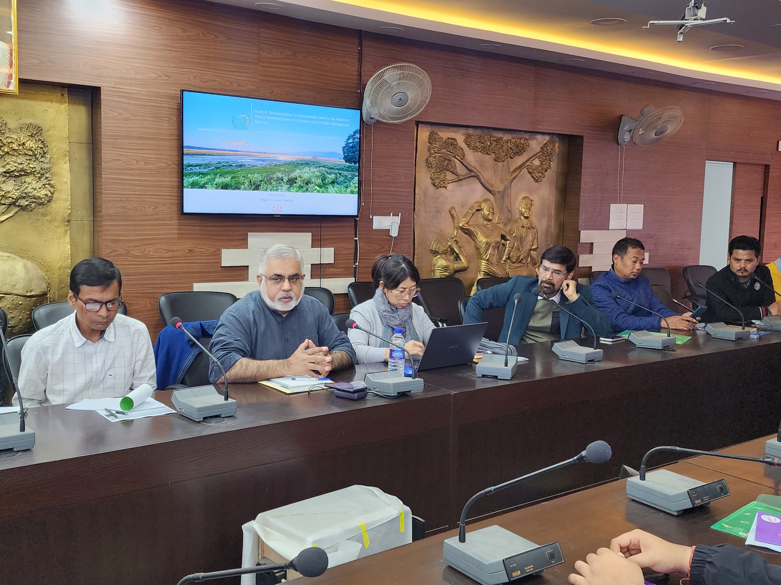
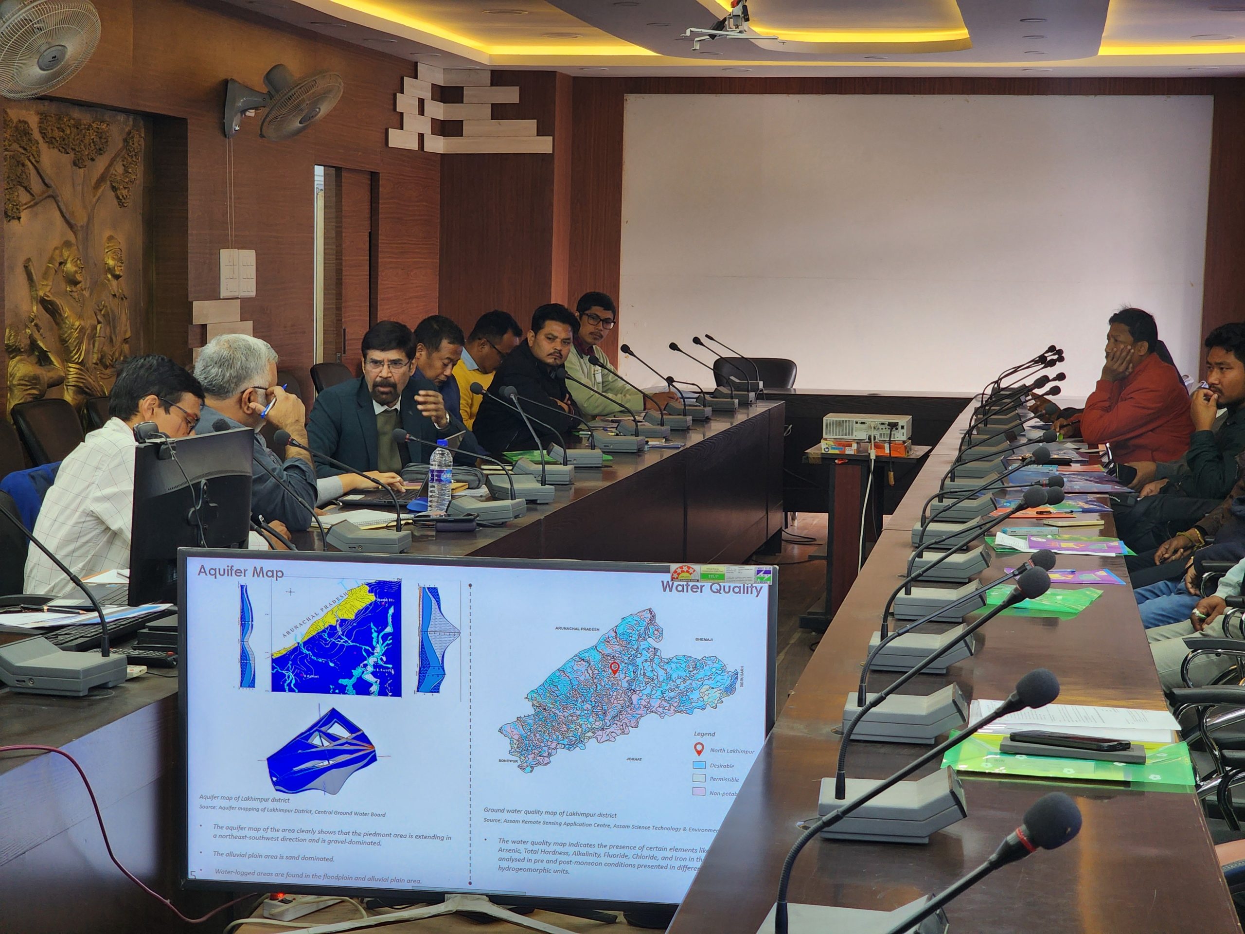
Sonitpur district is situated on the northern bank of the Brahmaputra Floodplain and possesses a distinctive geological configuration. Several perennial streams traverse the district, flowing north-south before converging with the Brahmaputra River. Key watercourses in the region include Mara Manas, Palla, Po-Mara, Kaldia, Tihu, Mora Pagladia, Burhadia, Pagladia, Nona, Baralia, and Puthimari River. The entire drainage system of the district eventually contributes to the flow of various rivers and their tributaries.
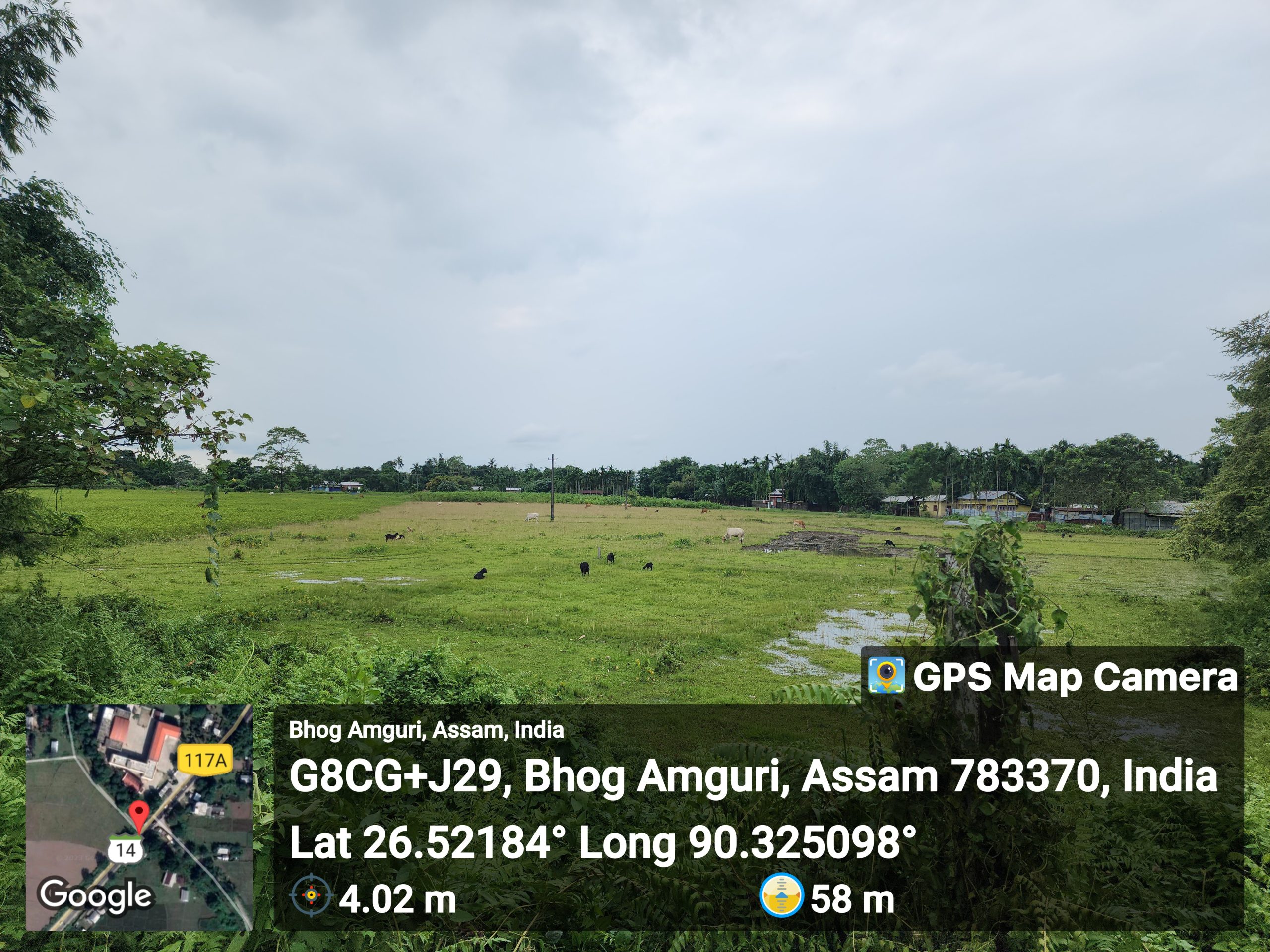
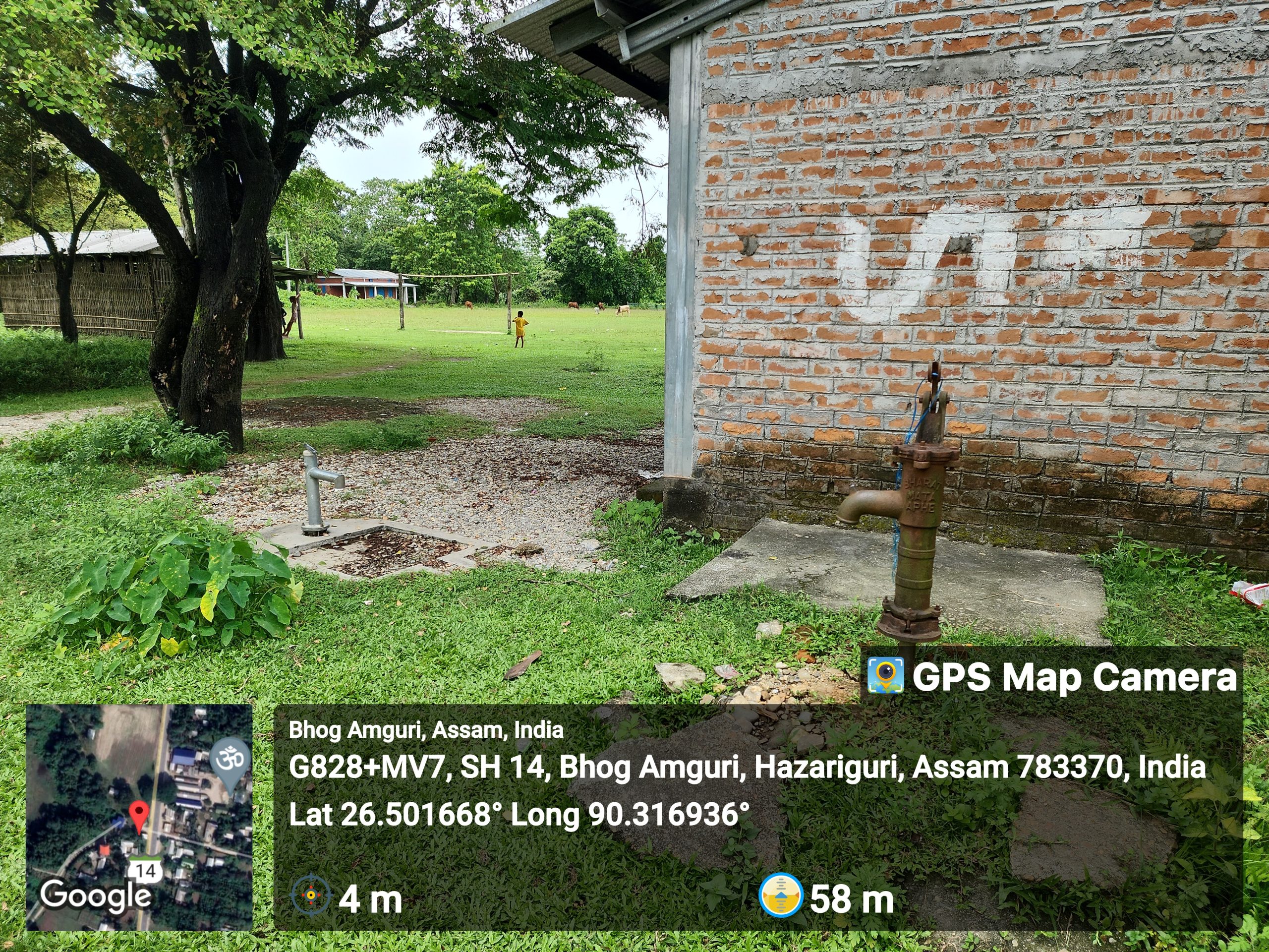
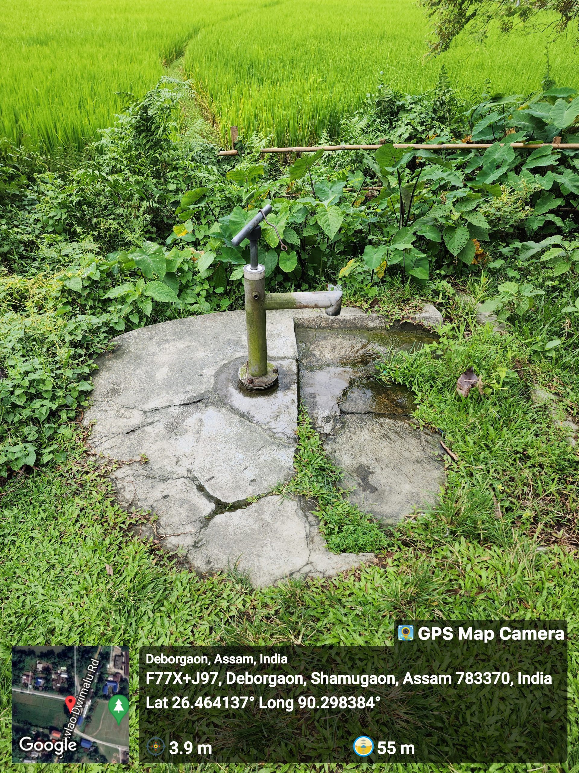
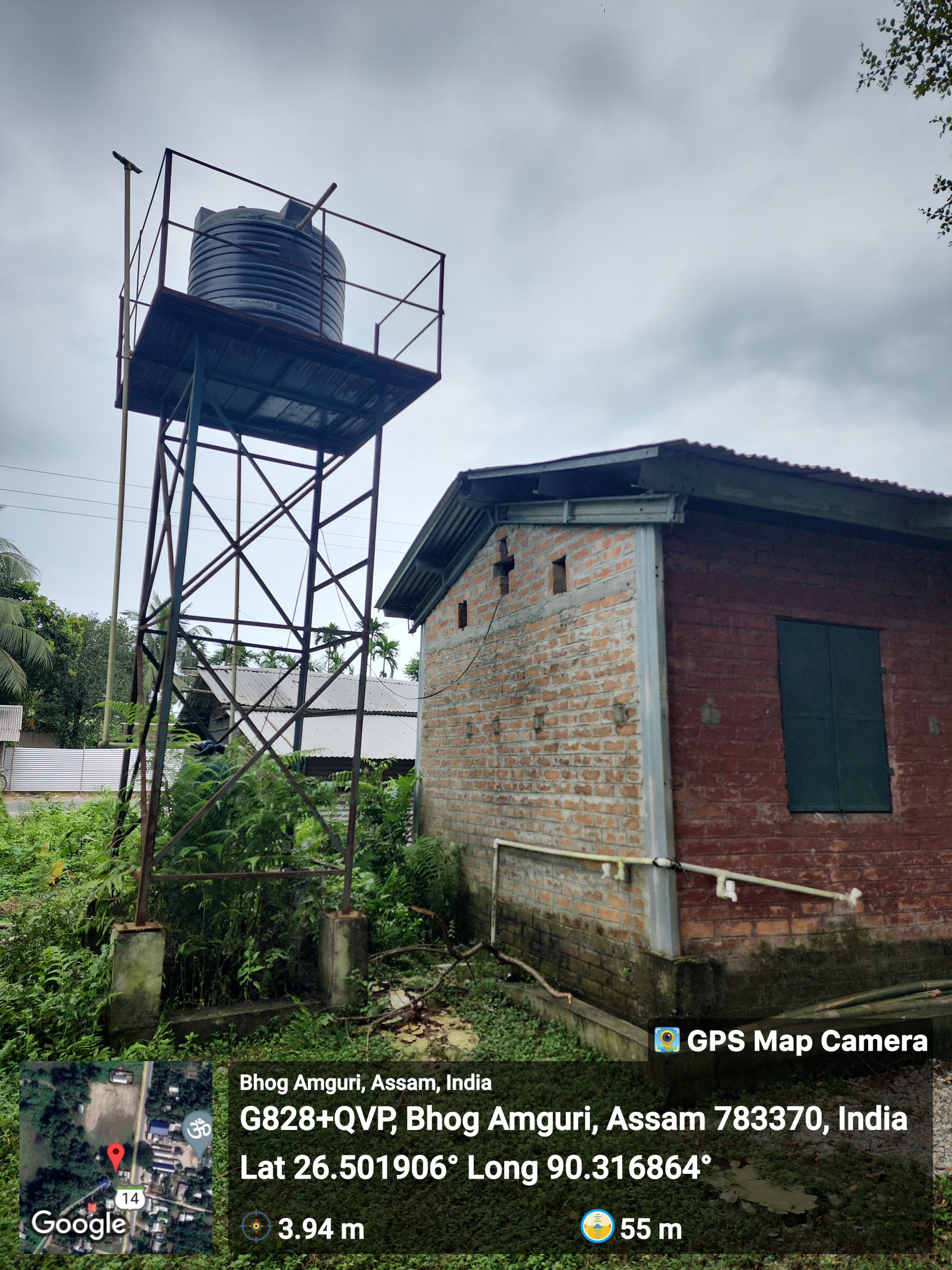
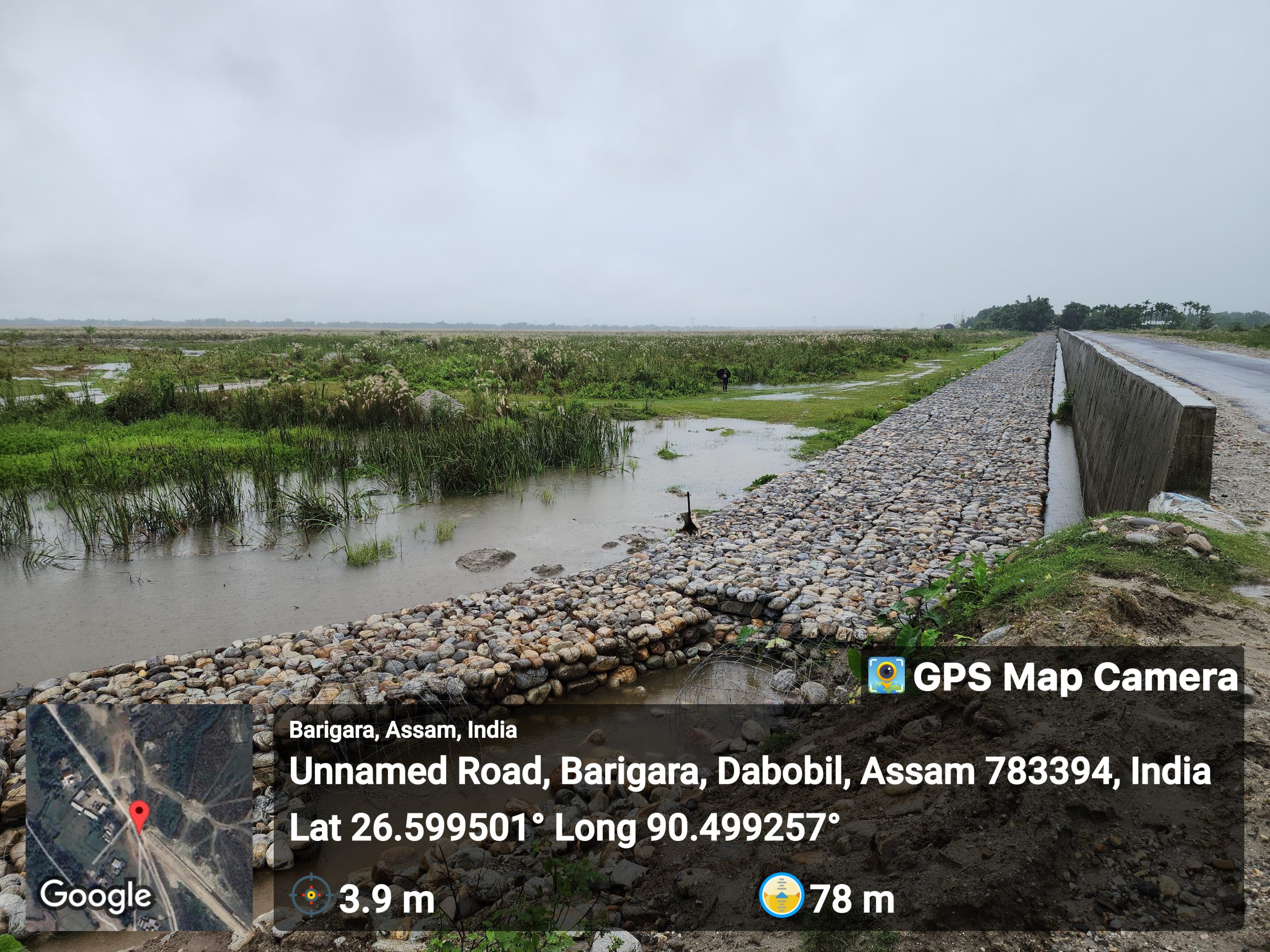
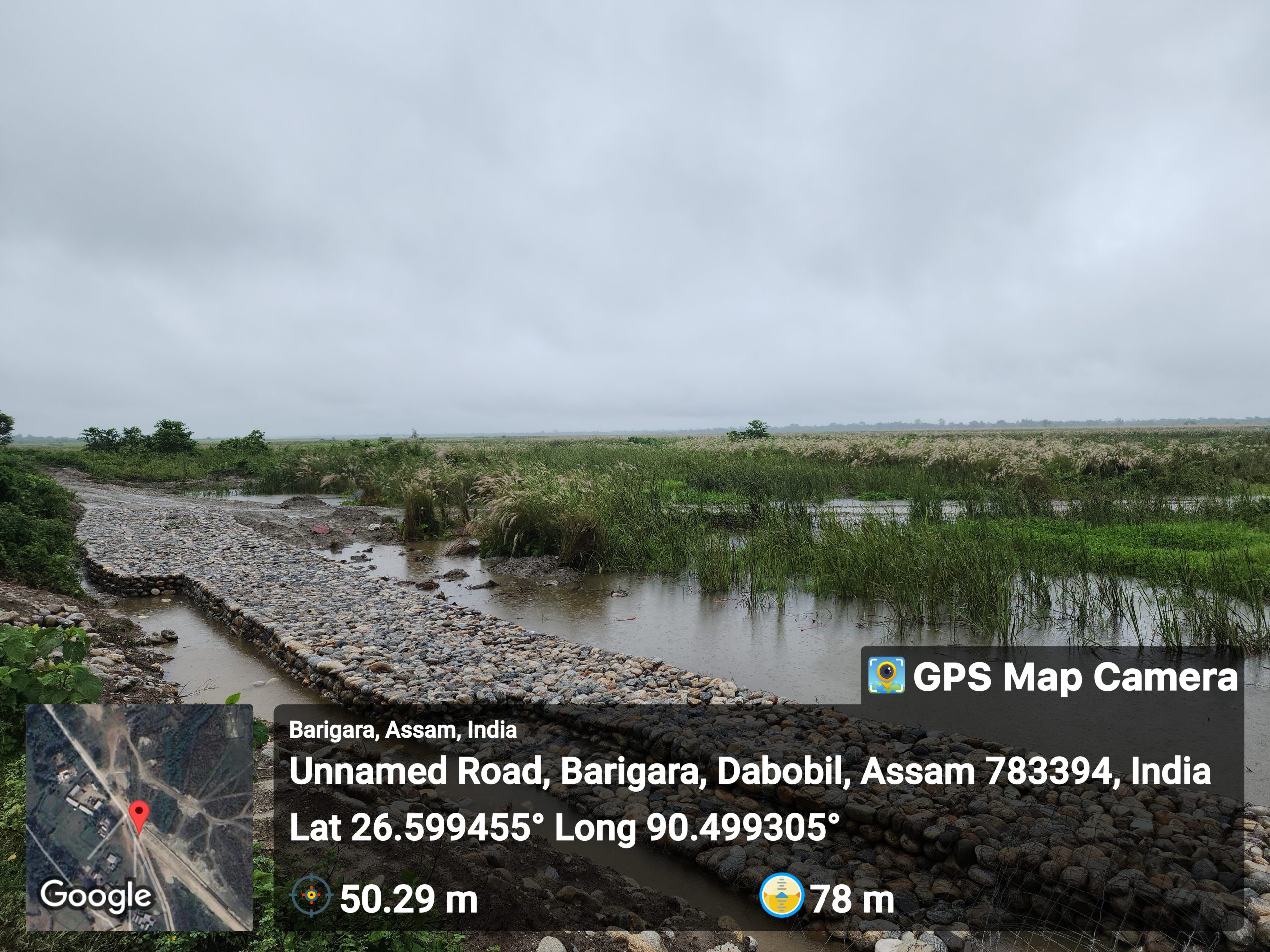
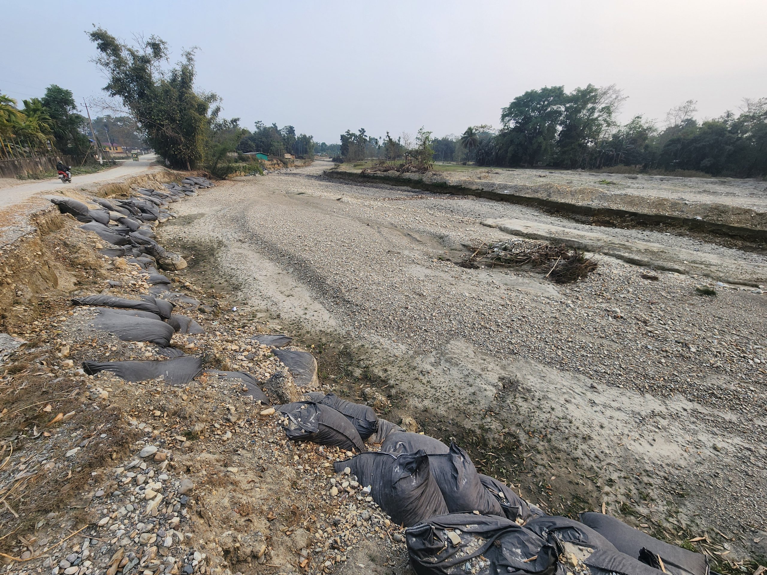
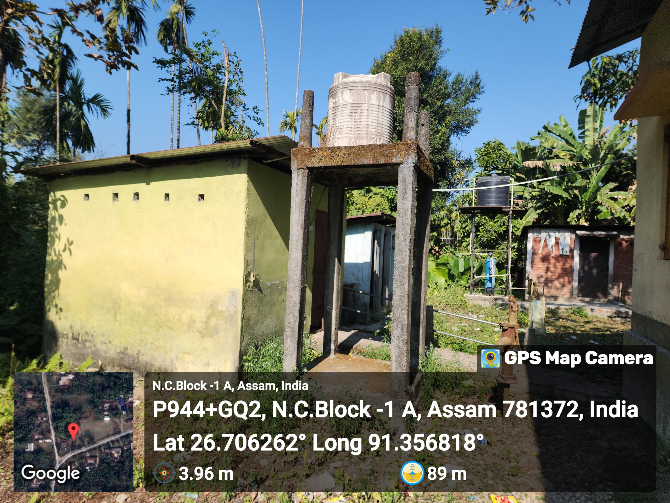
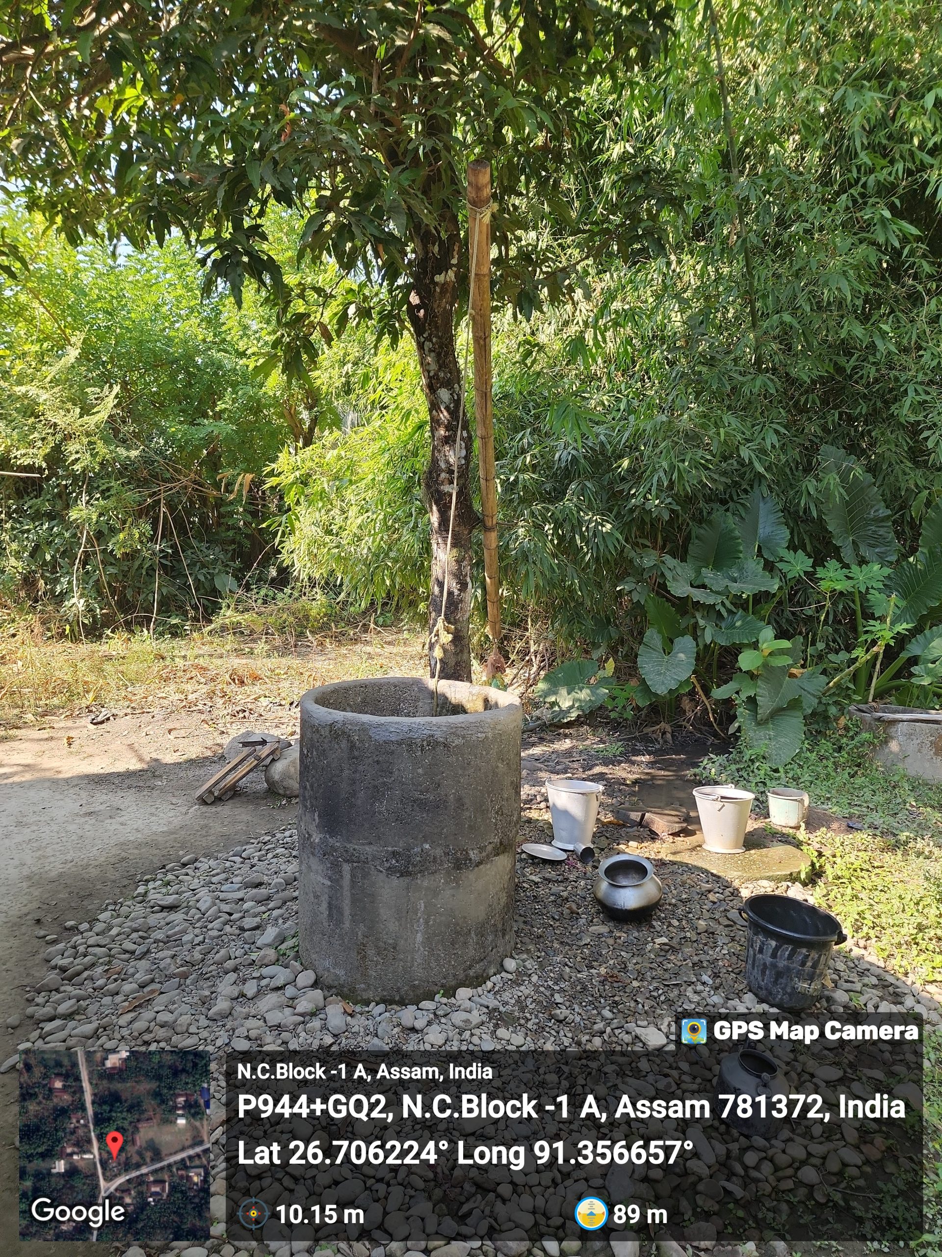
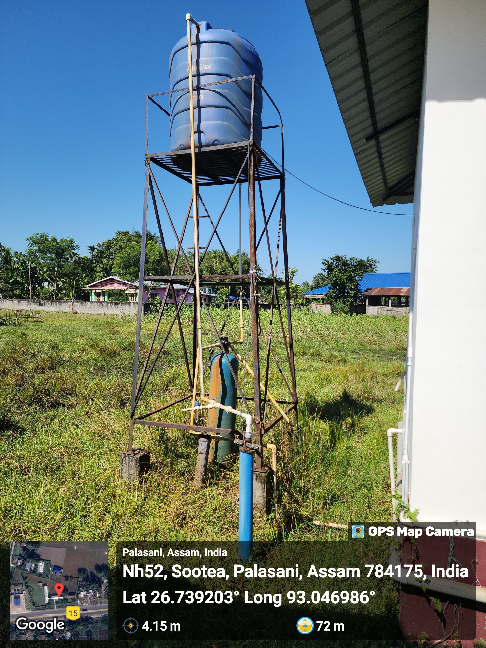
The district grapples with many water-related challenges, including flooding, contamination, and inadequate infrastructure. Insufficient access to clean water sources, coupled with the impact of seasonal variations, poses significant hardships for the residents. The presence of Brahmaputra also makes the district susceptible to flooding.
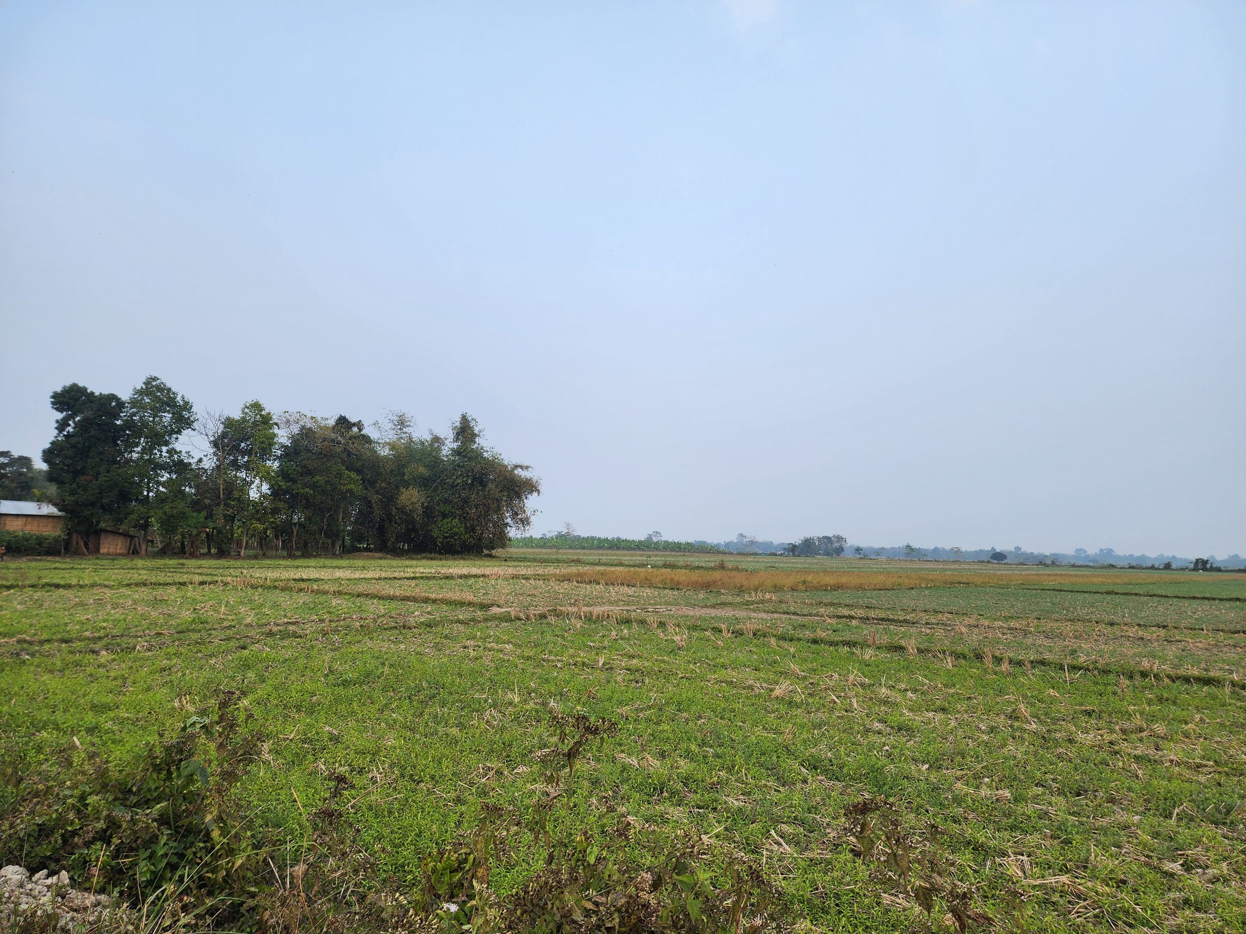
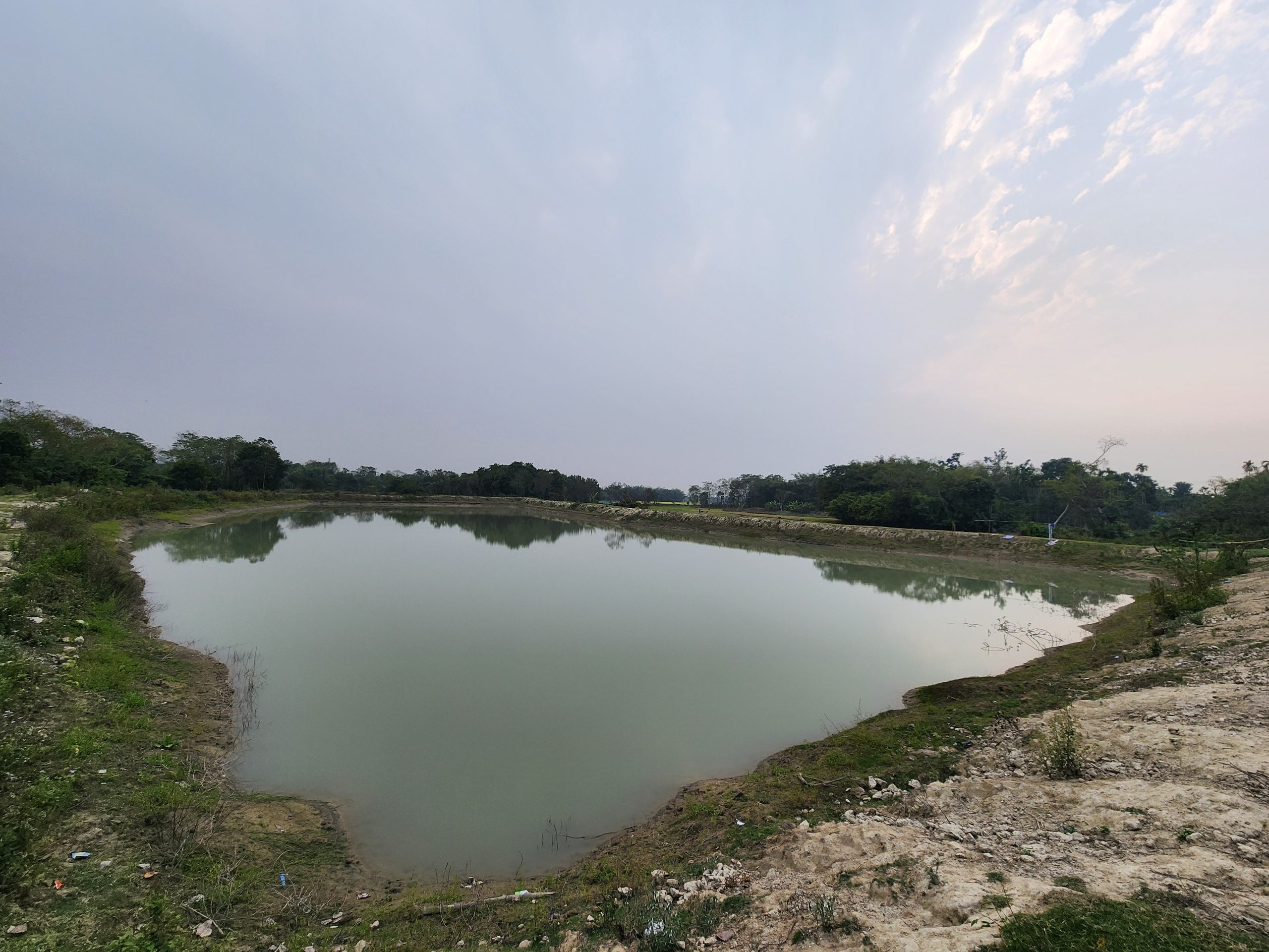
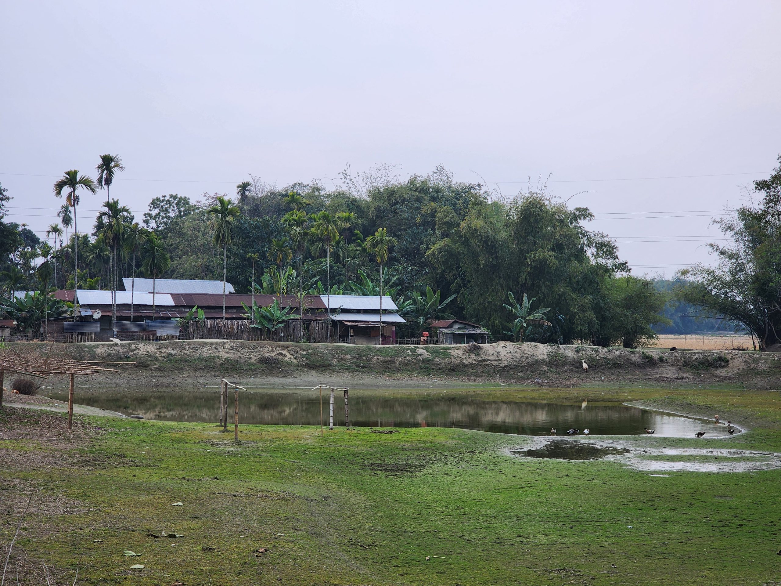
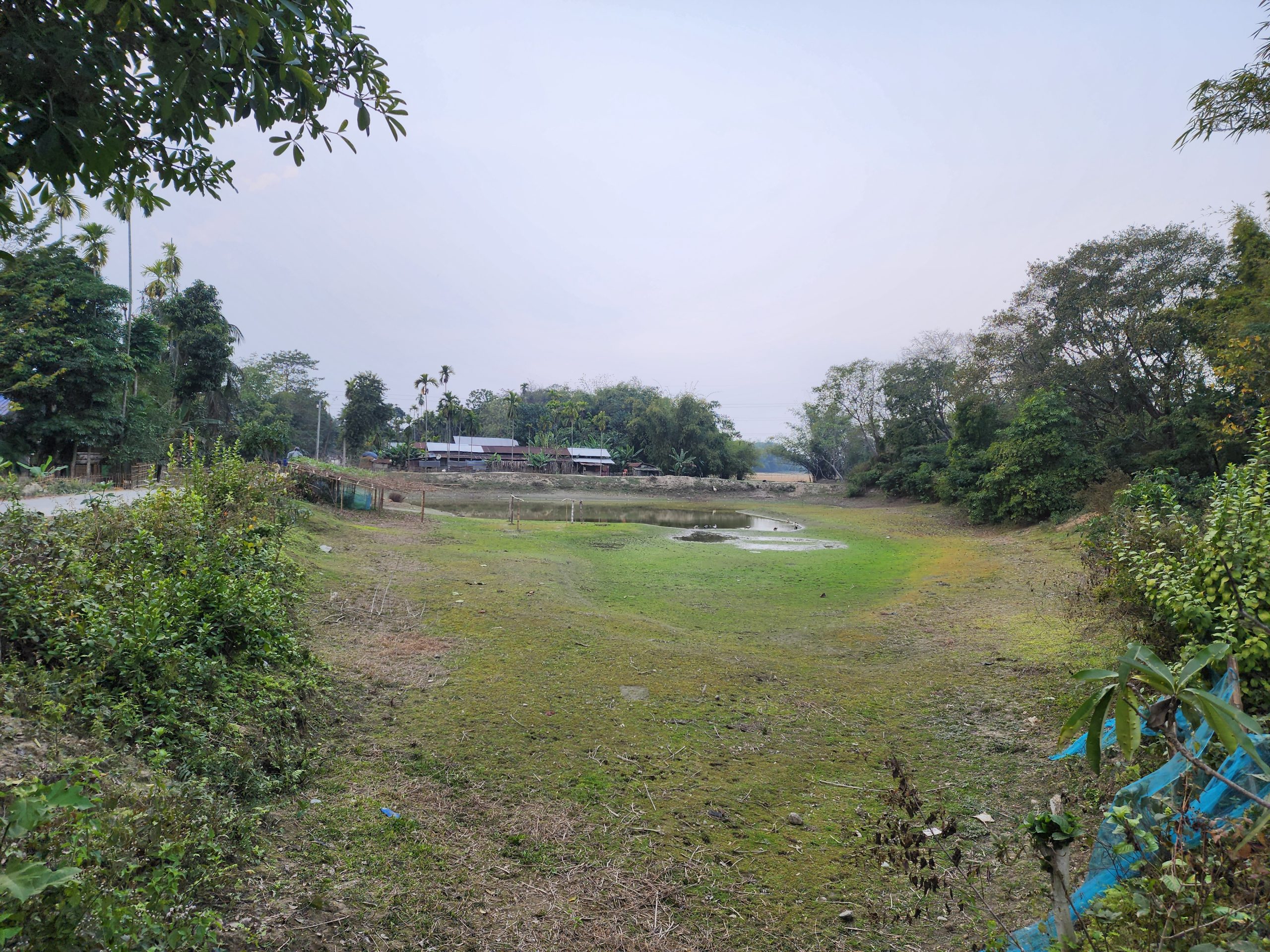
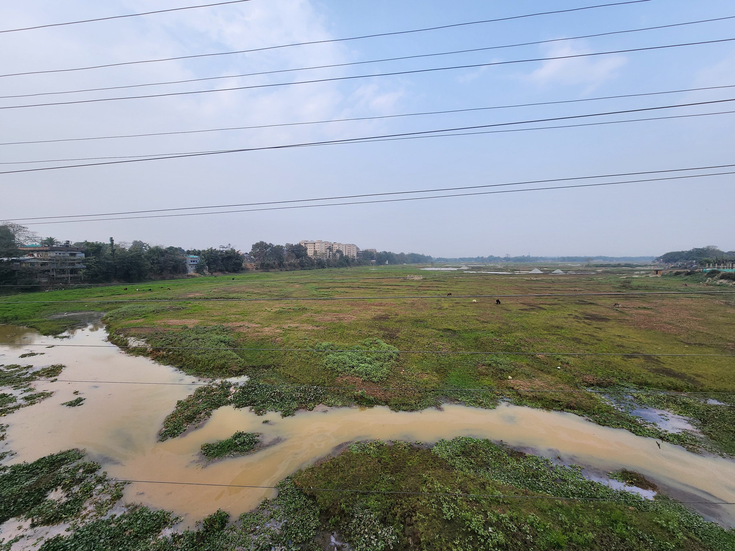
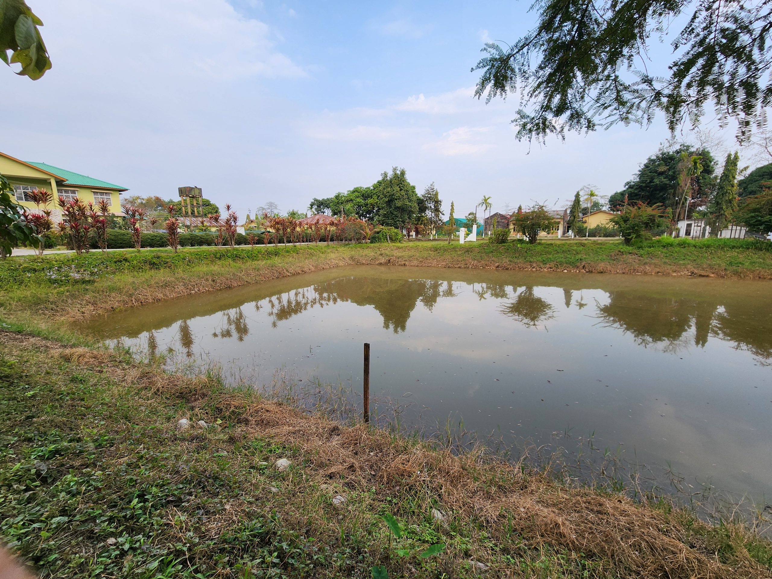
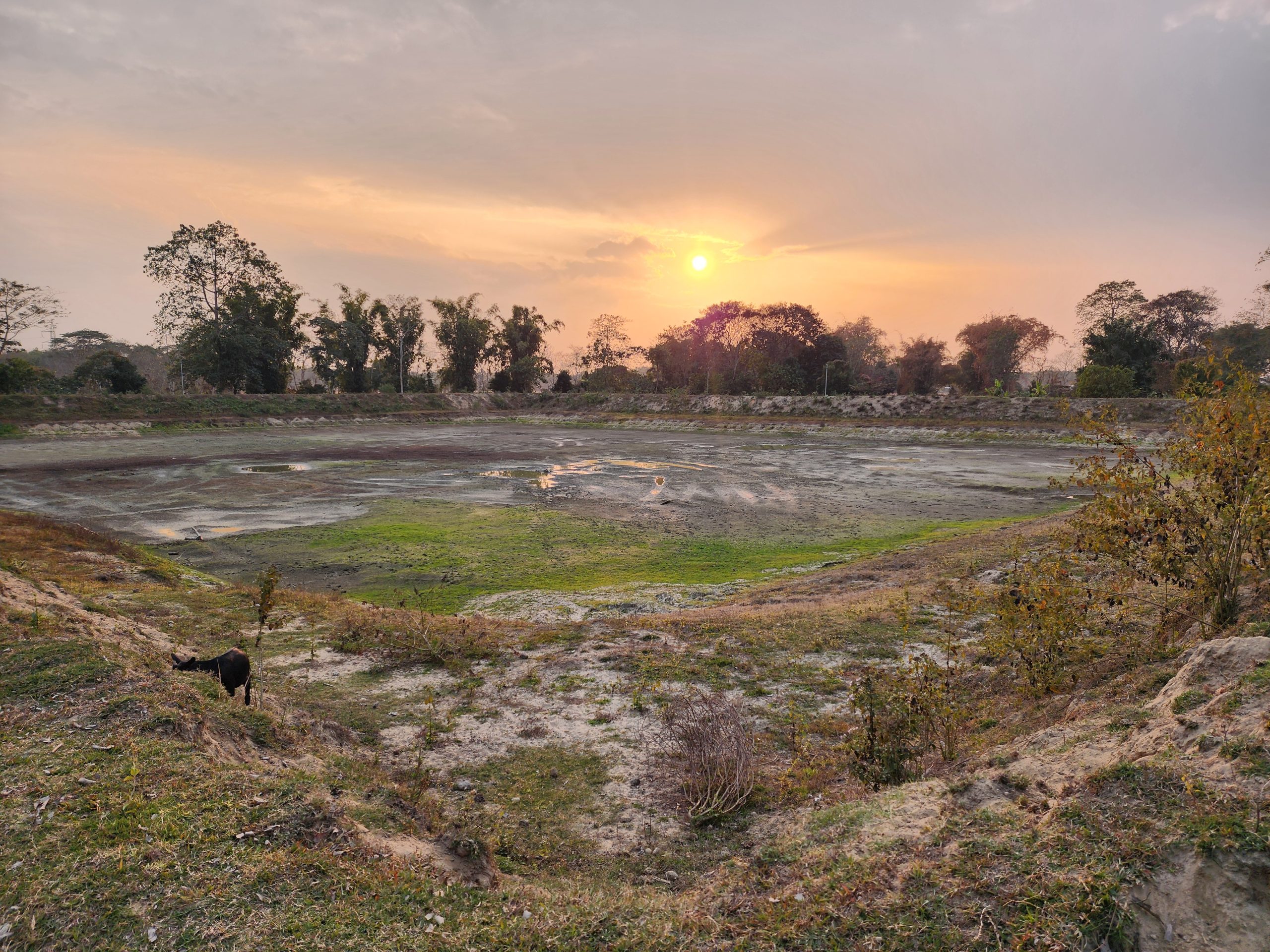
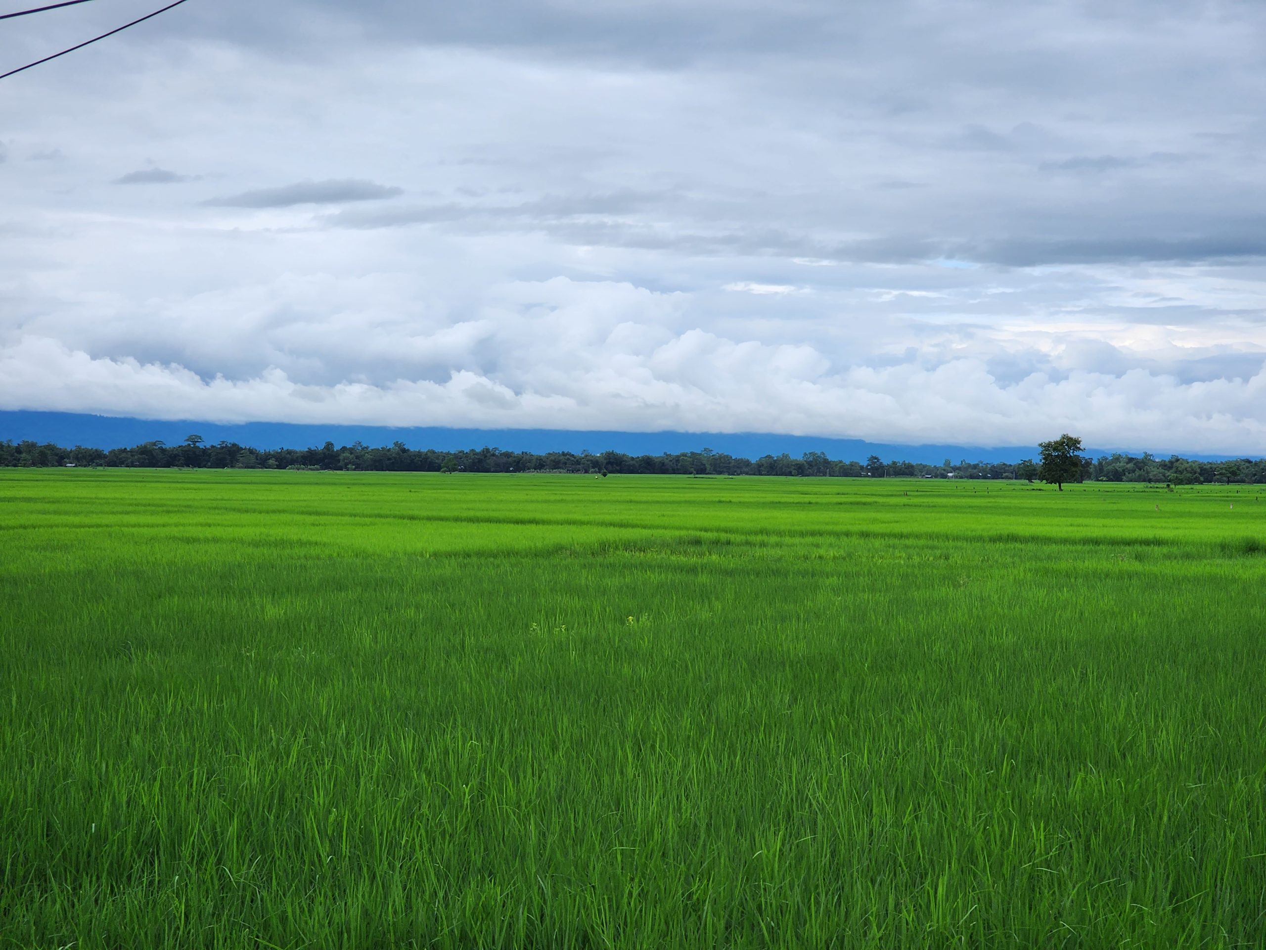
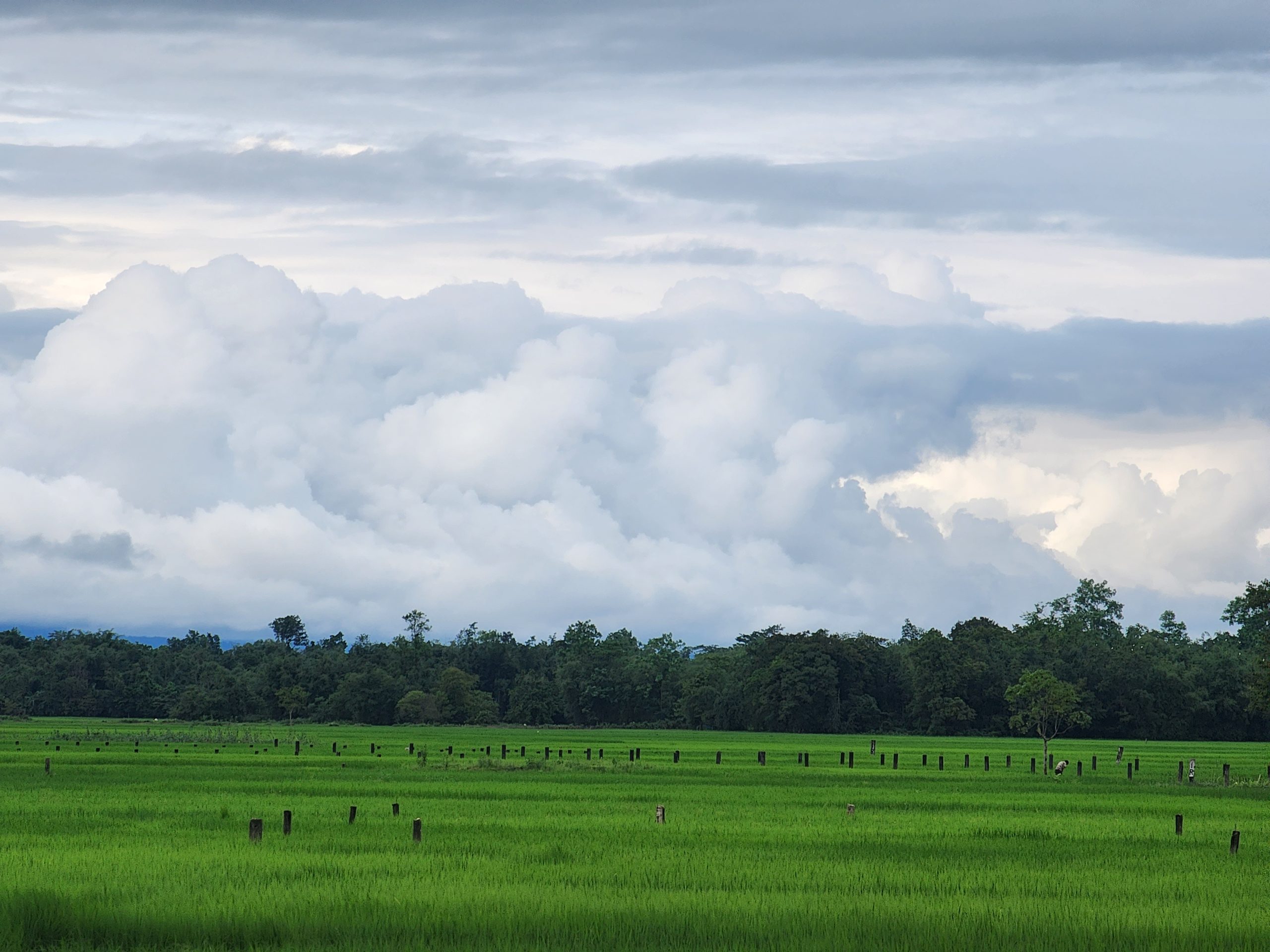
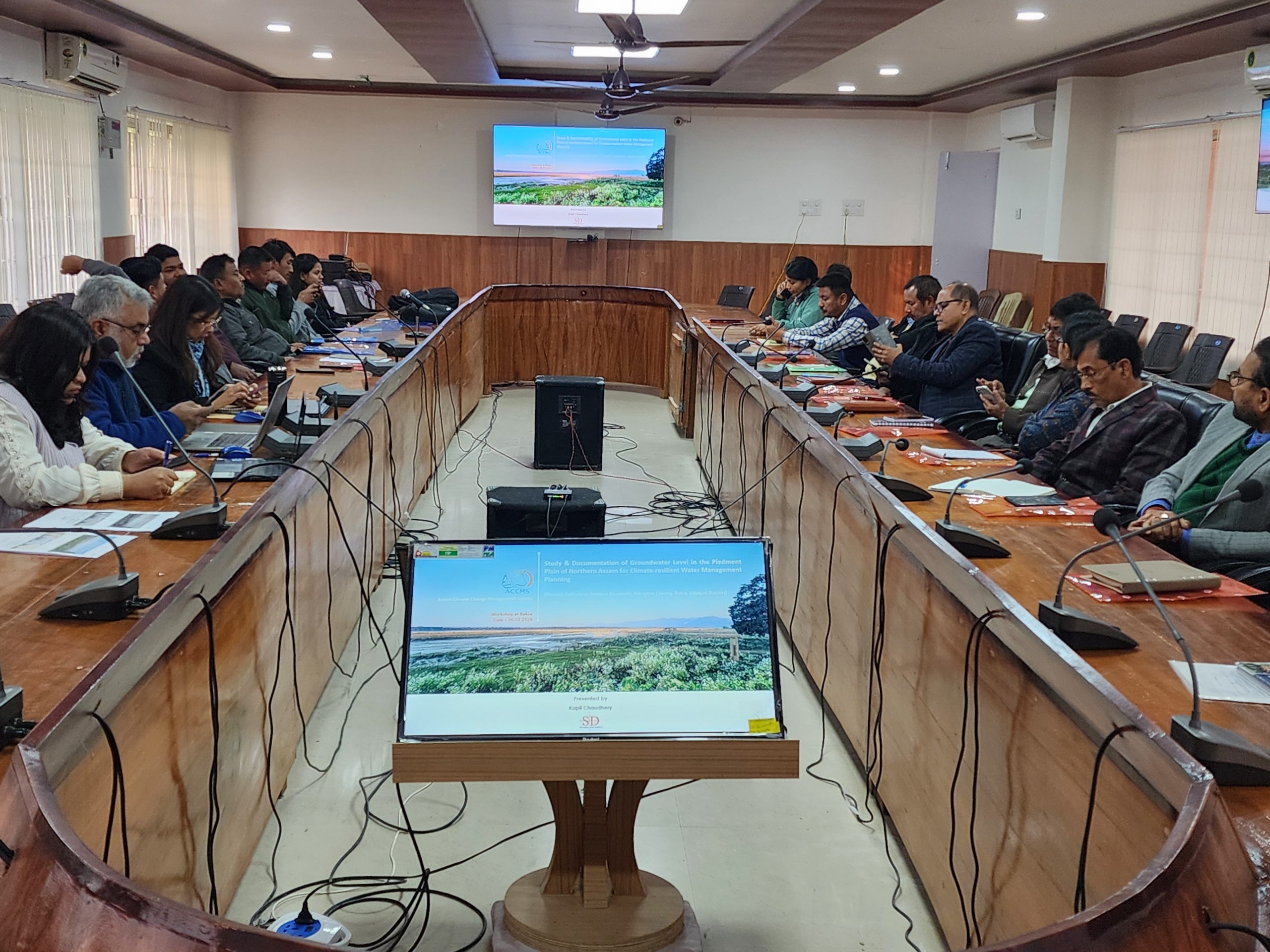
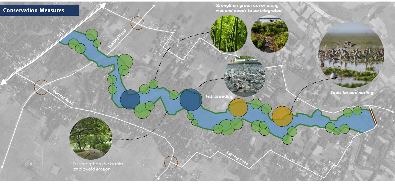
The district is home to numerous wetlands and dead rivers, which hold immense potential for ecological restoration and sustainable development. Reviving these natural water bodies is crucial not only for enhancing biodiversity but also for improving the overall environmental health of the region. They also play a significant role in flood control by absorbing excess rainfall and releasing it slowly, thus mitigating the impact of floods.
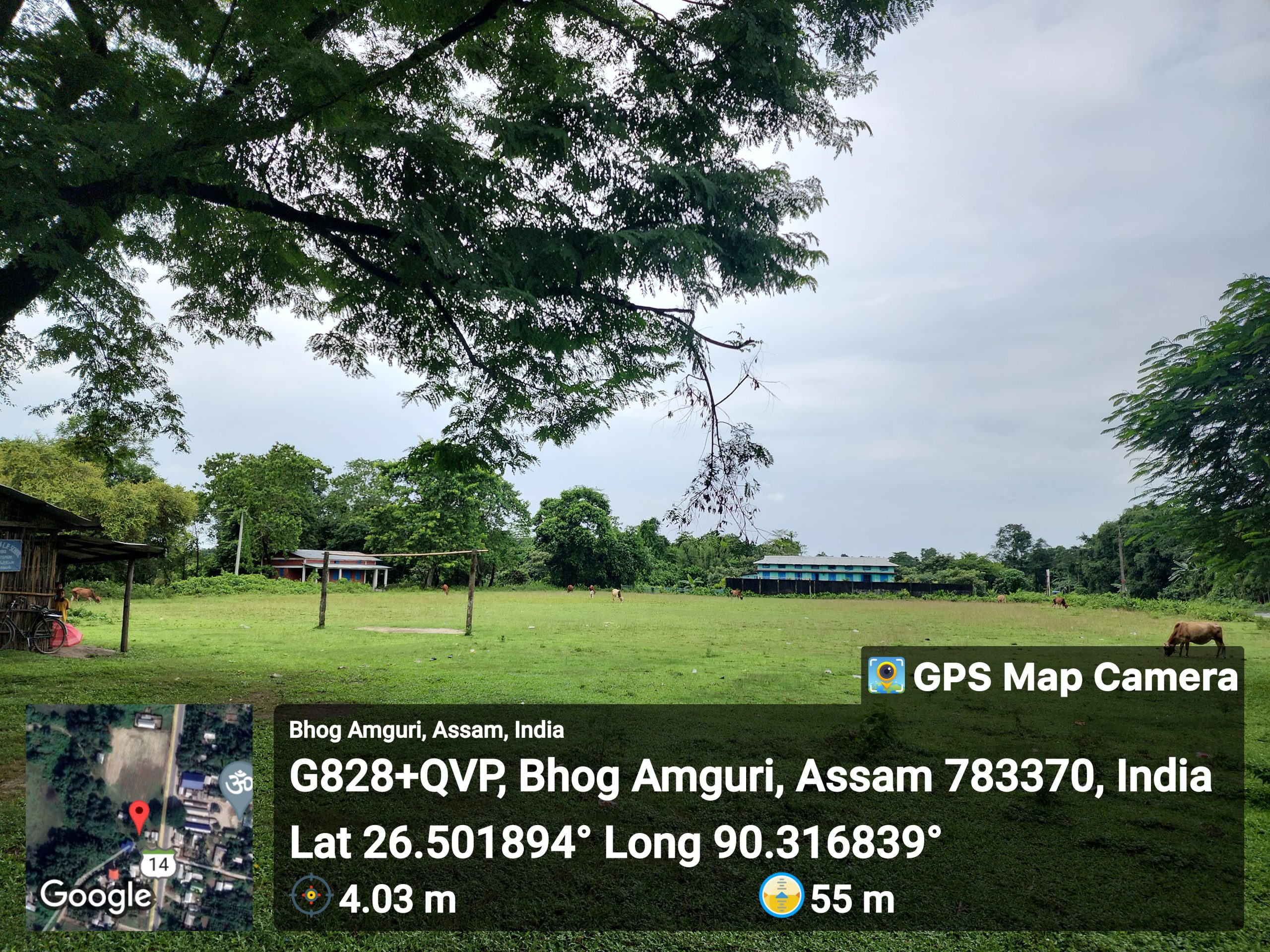
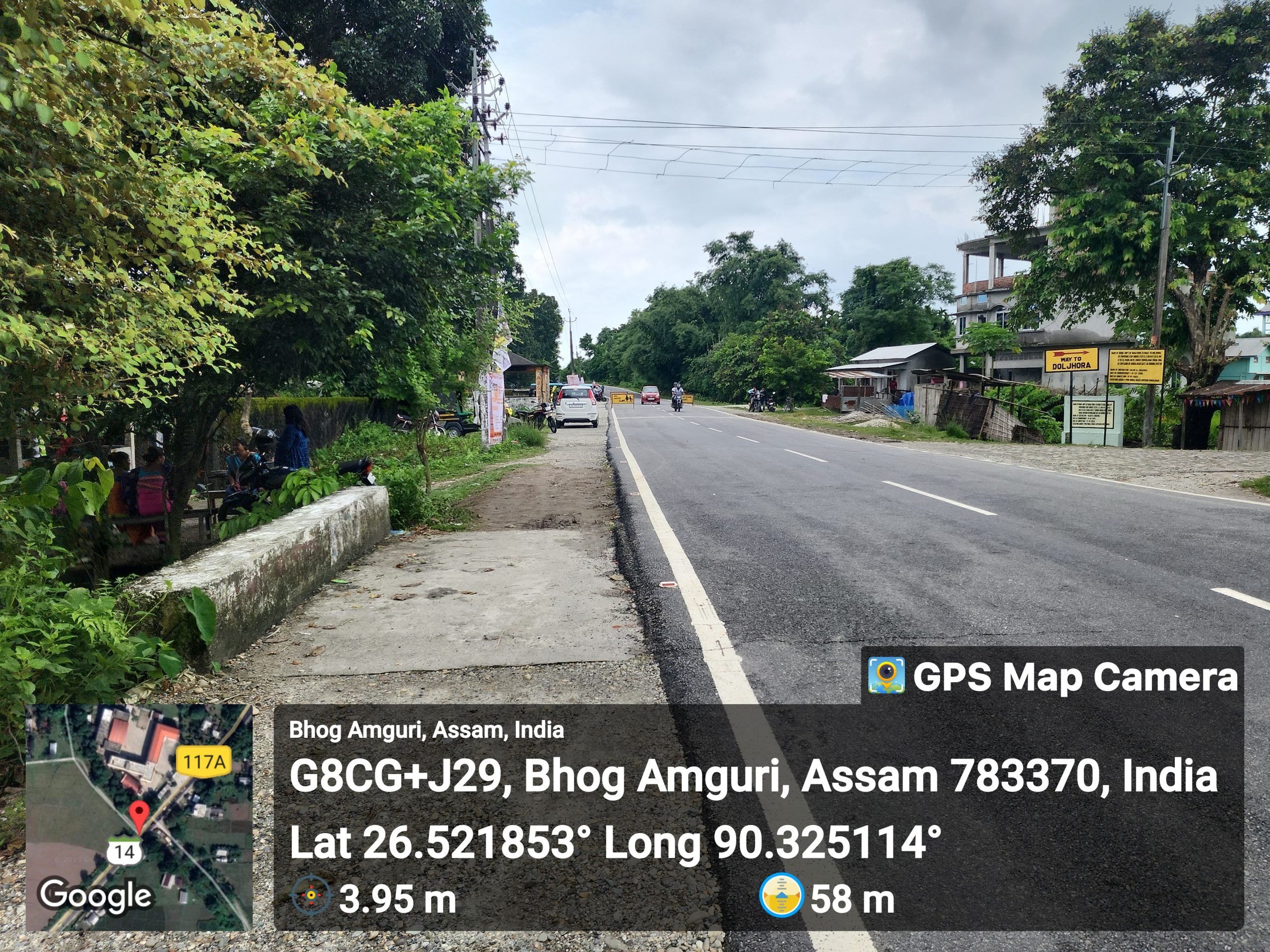
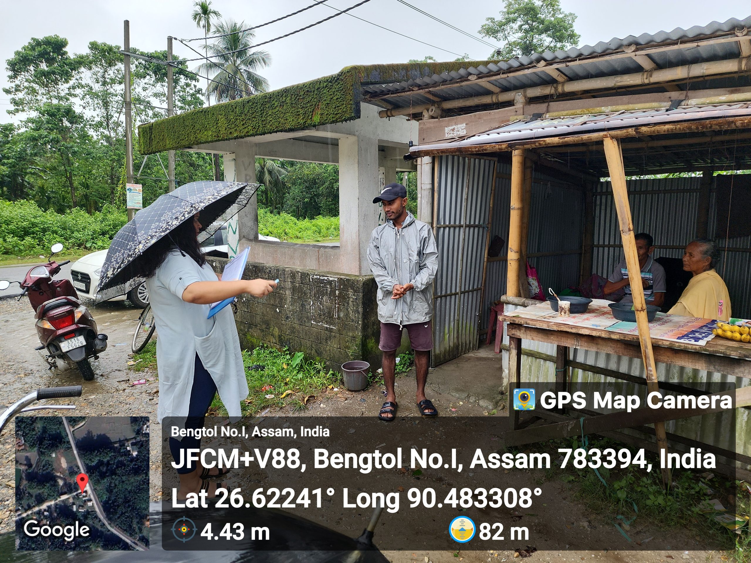
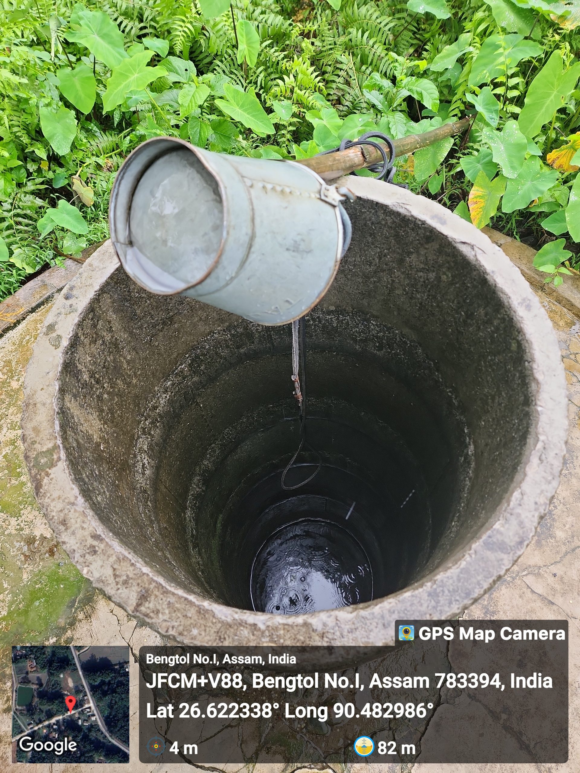
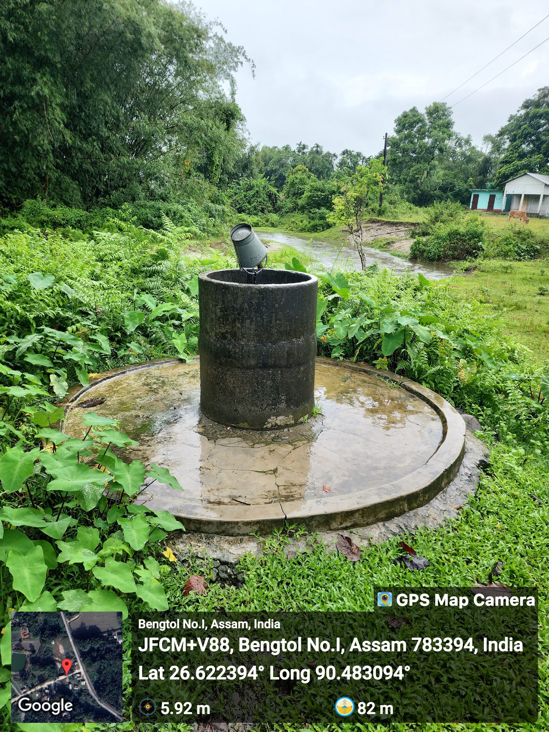
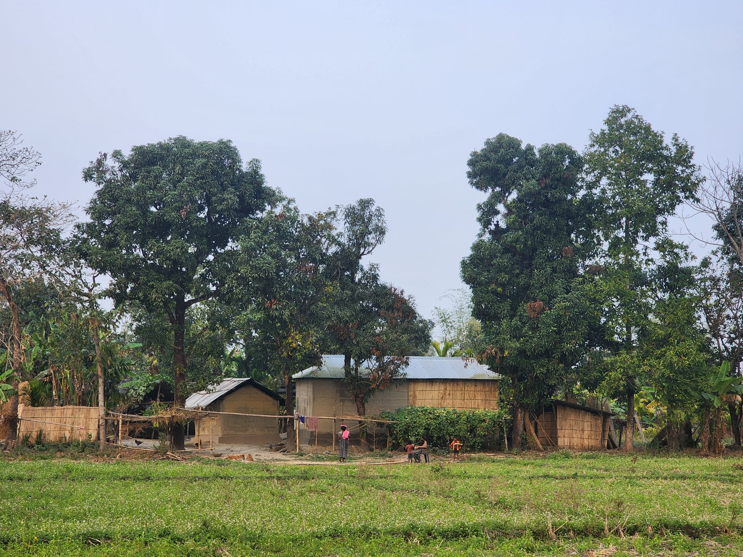
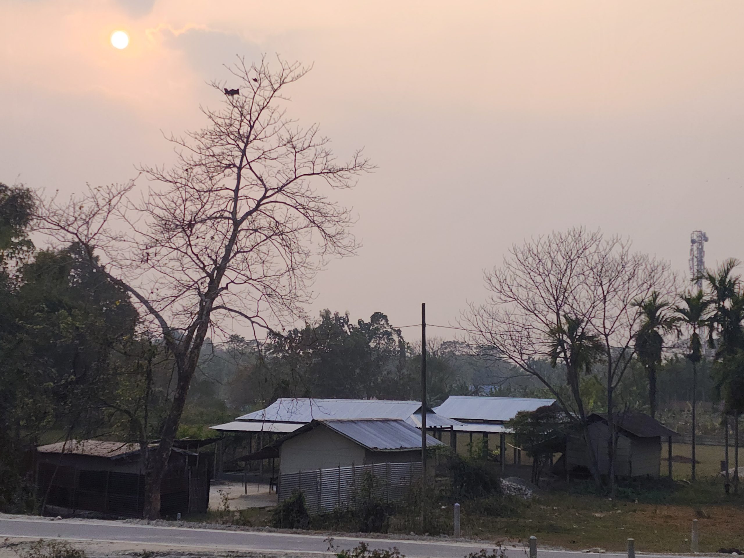
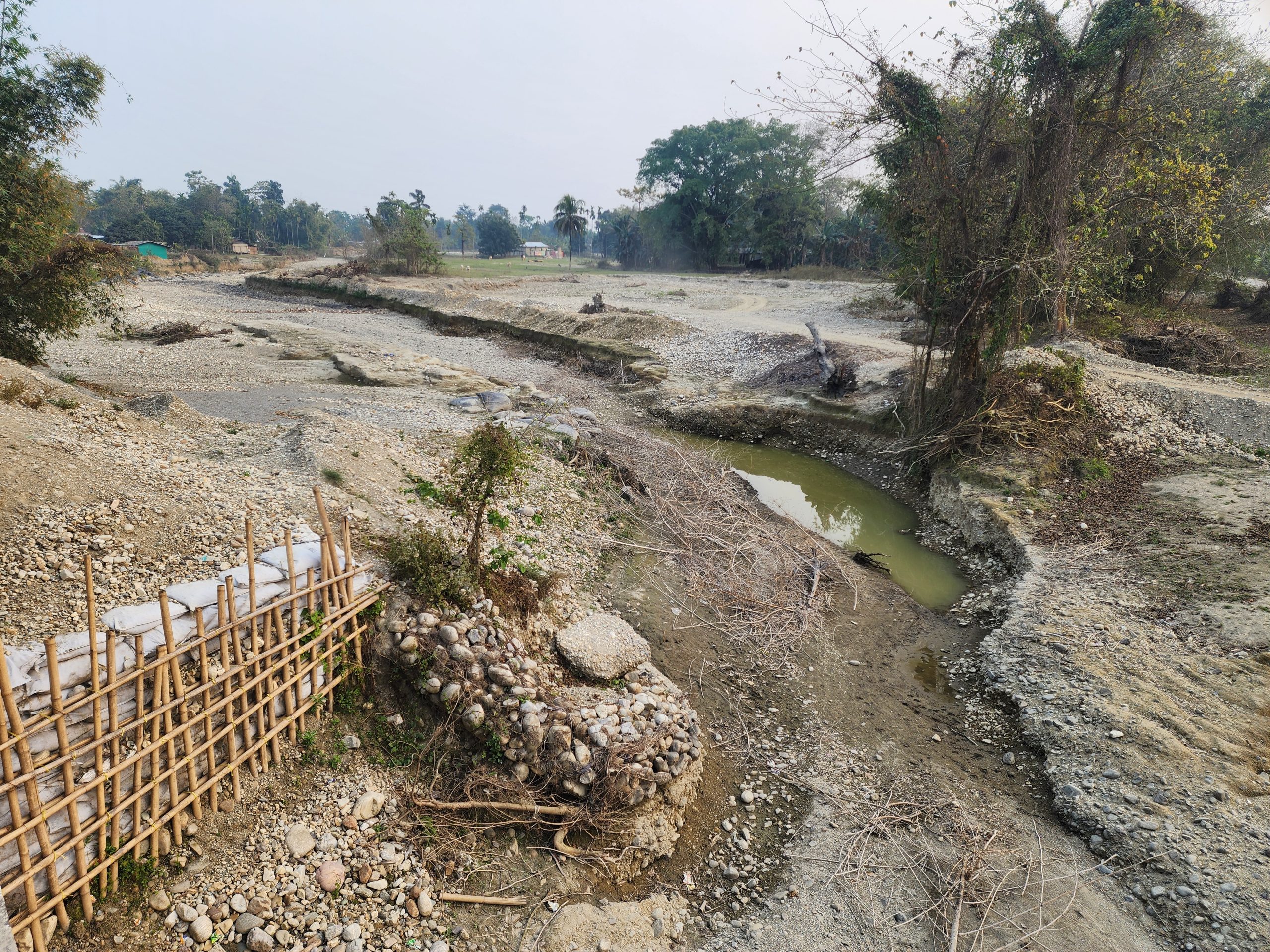
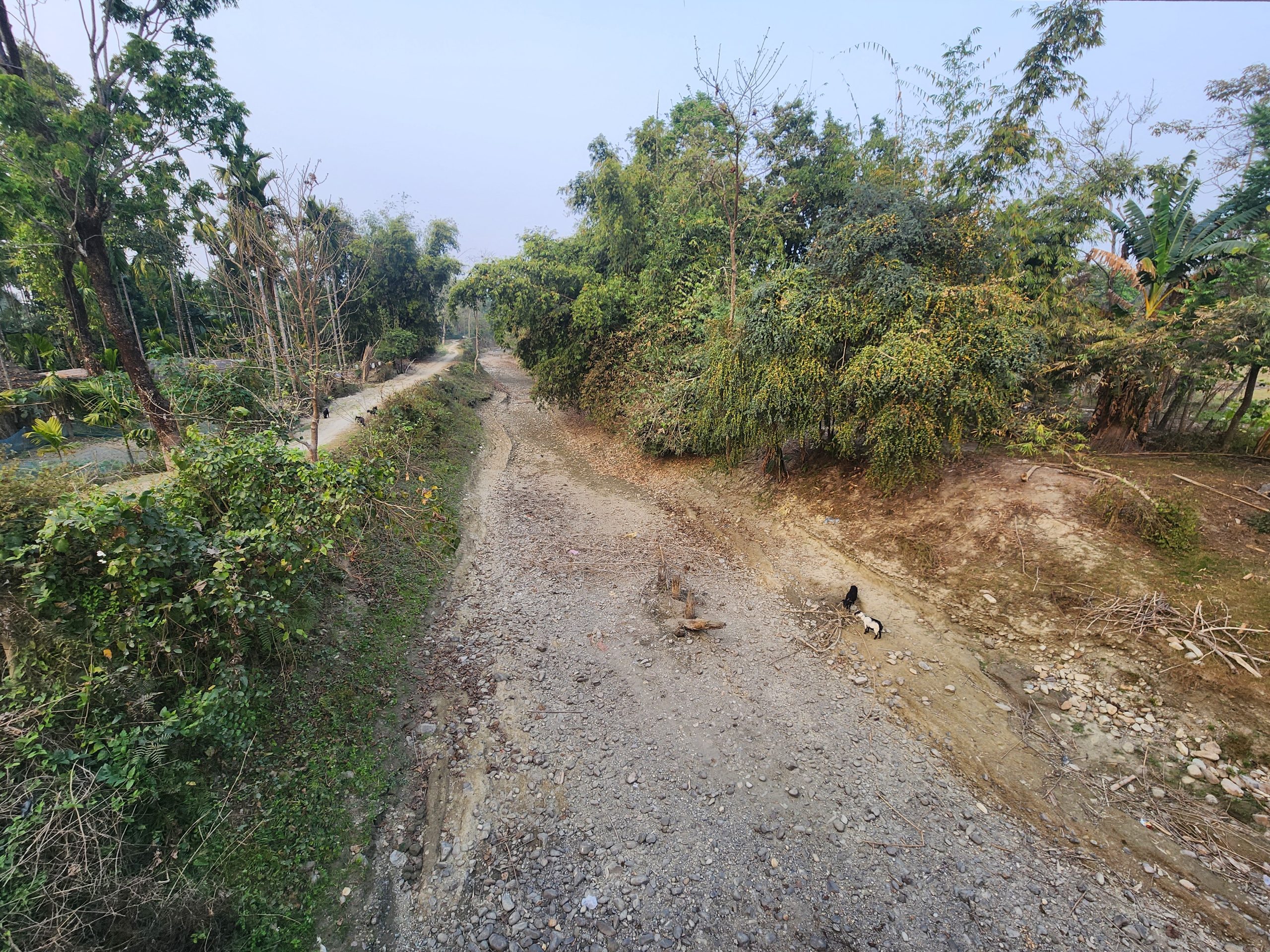
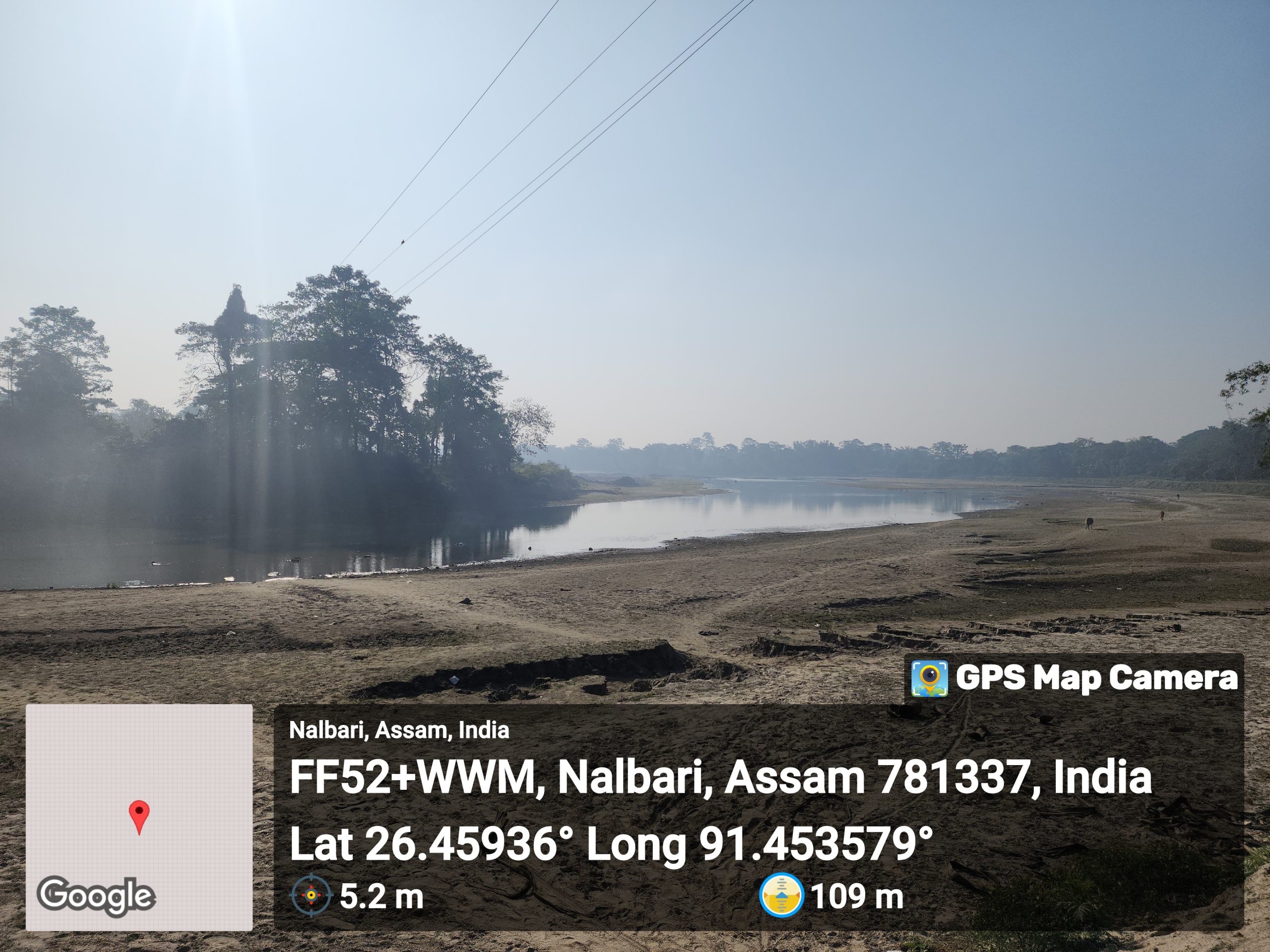
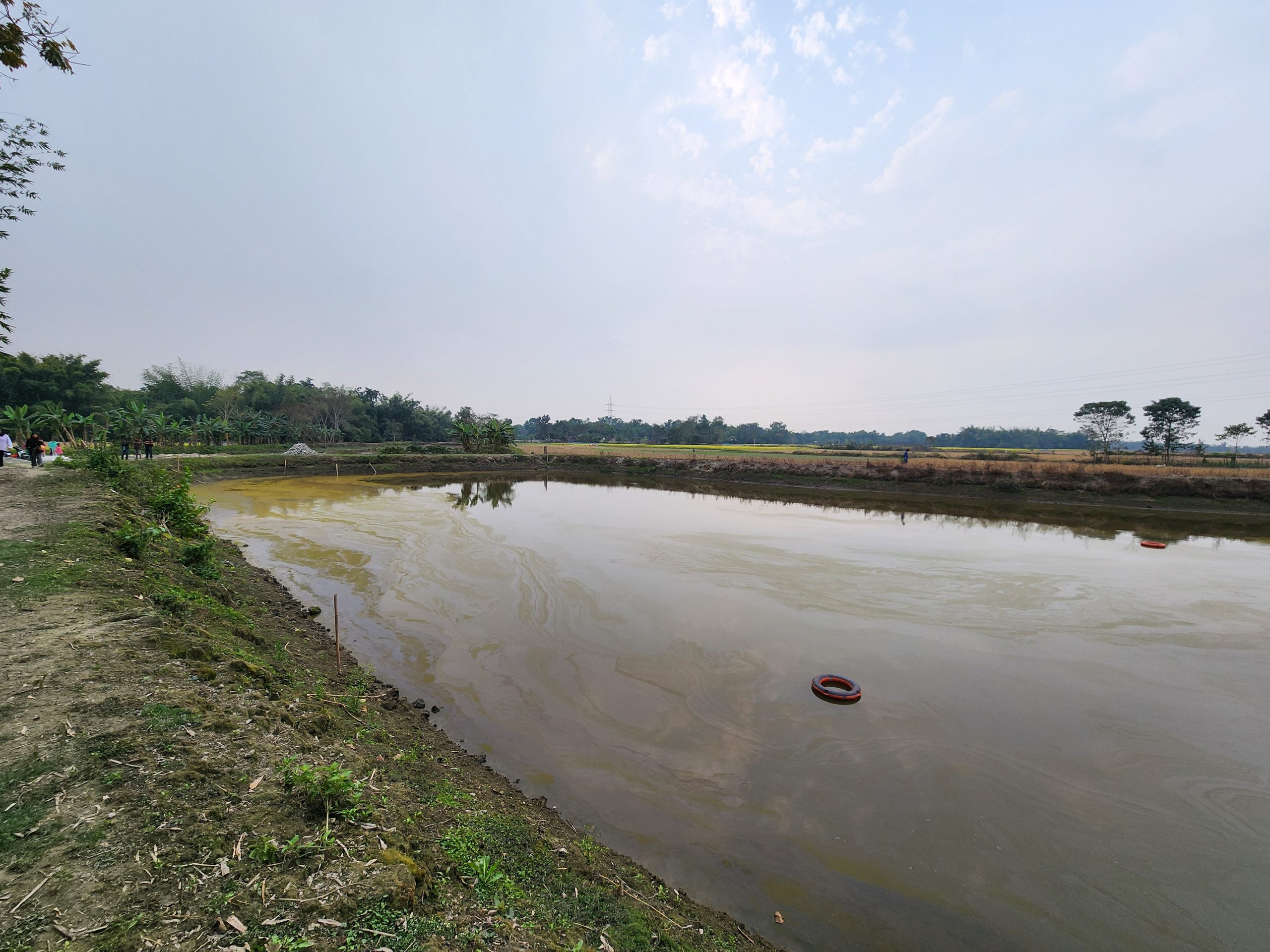
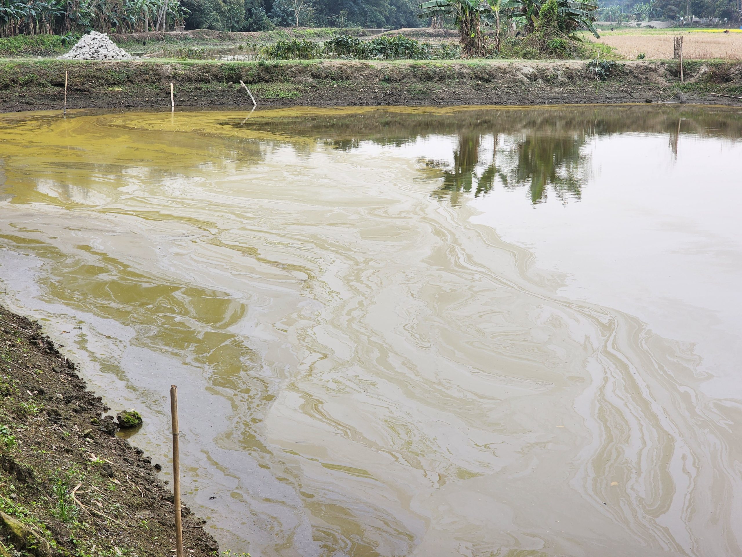
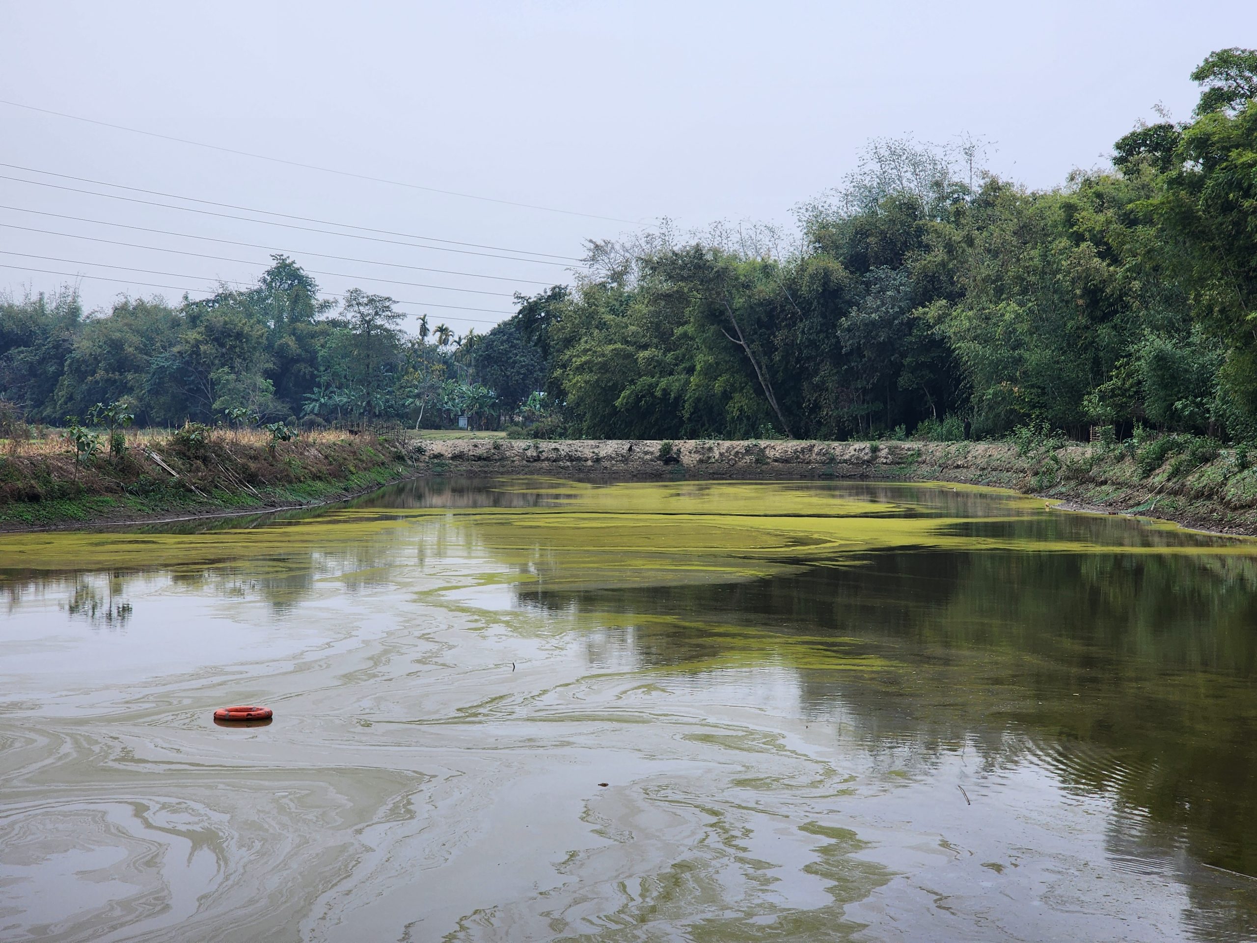
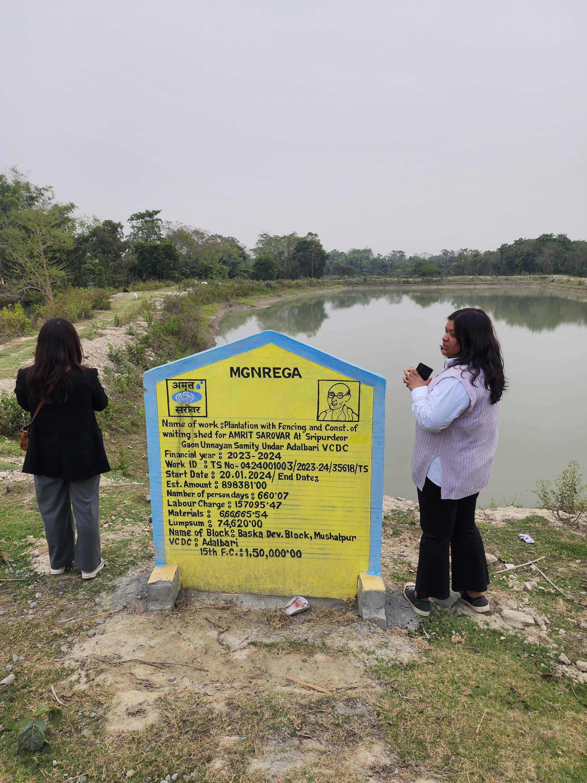
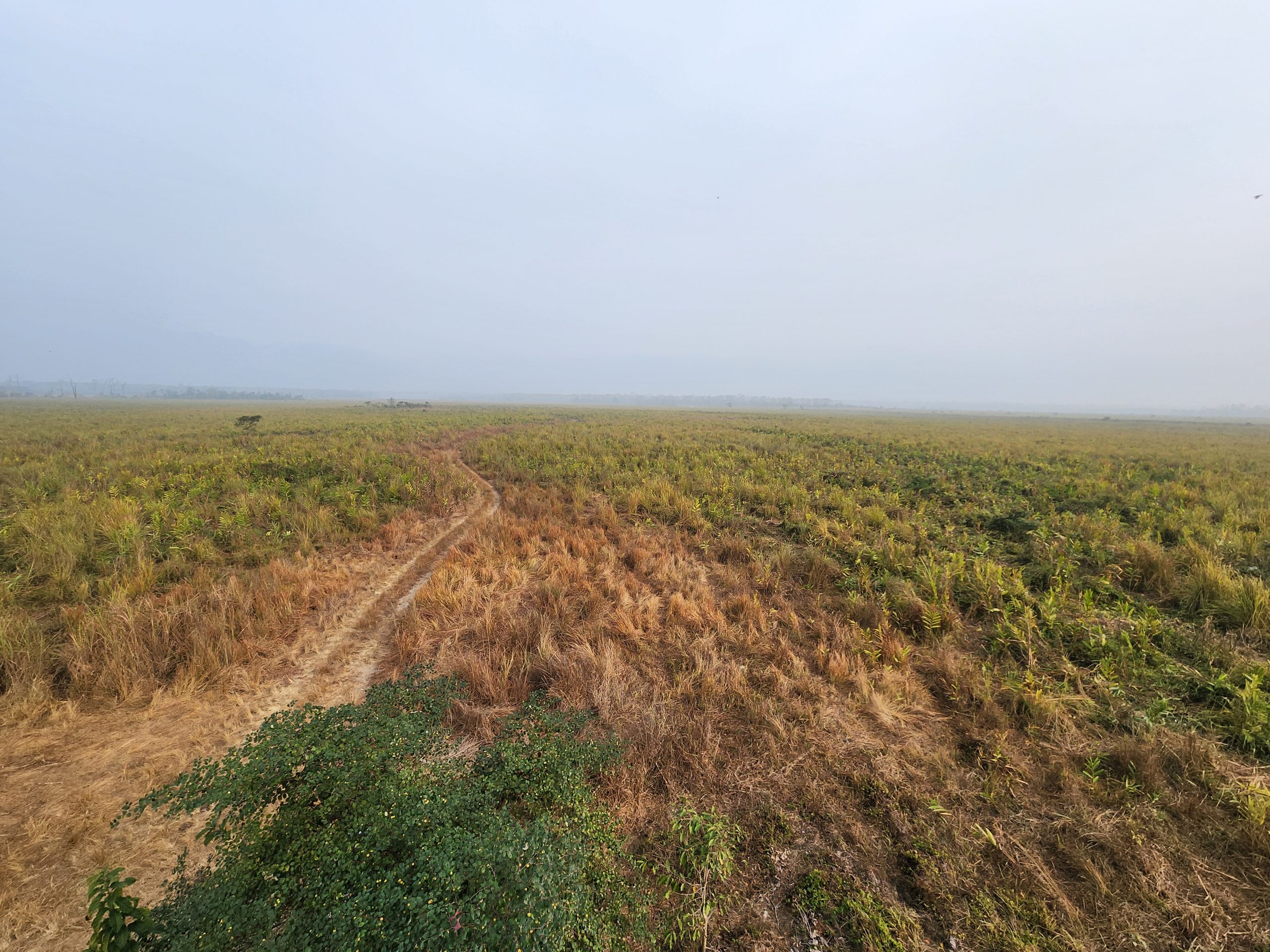
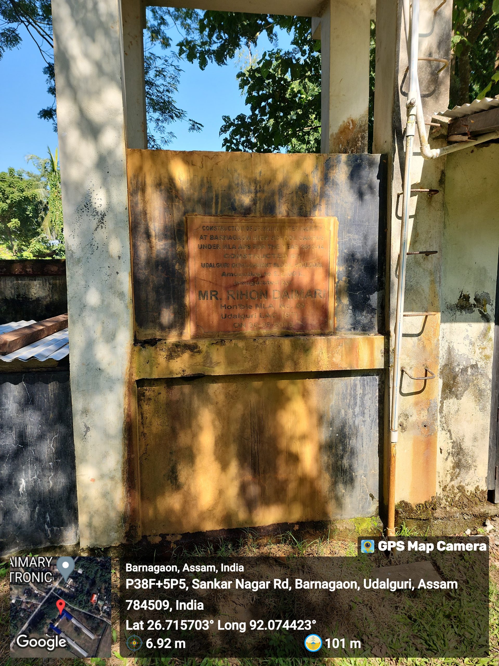
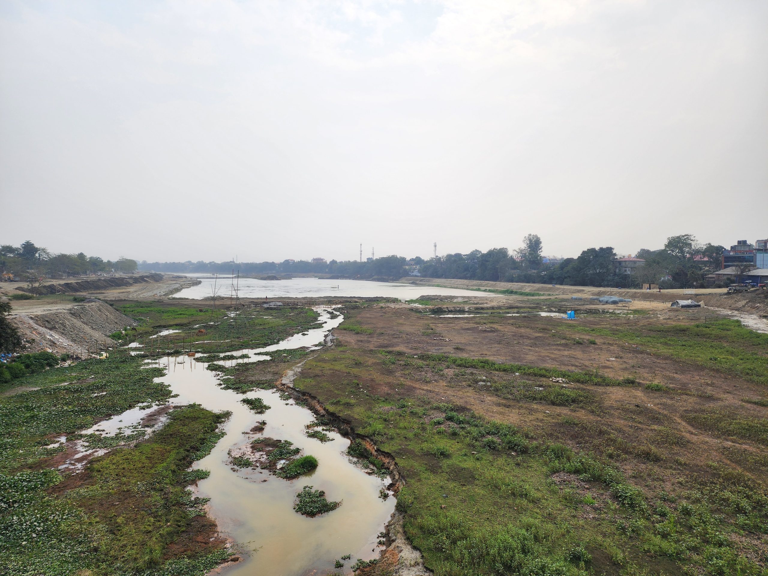
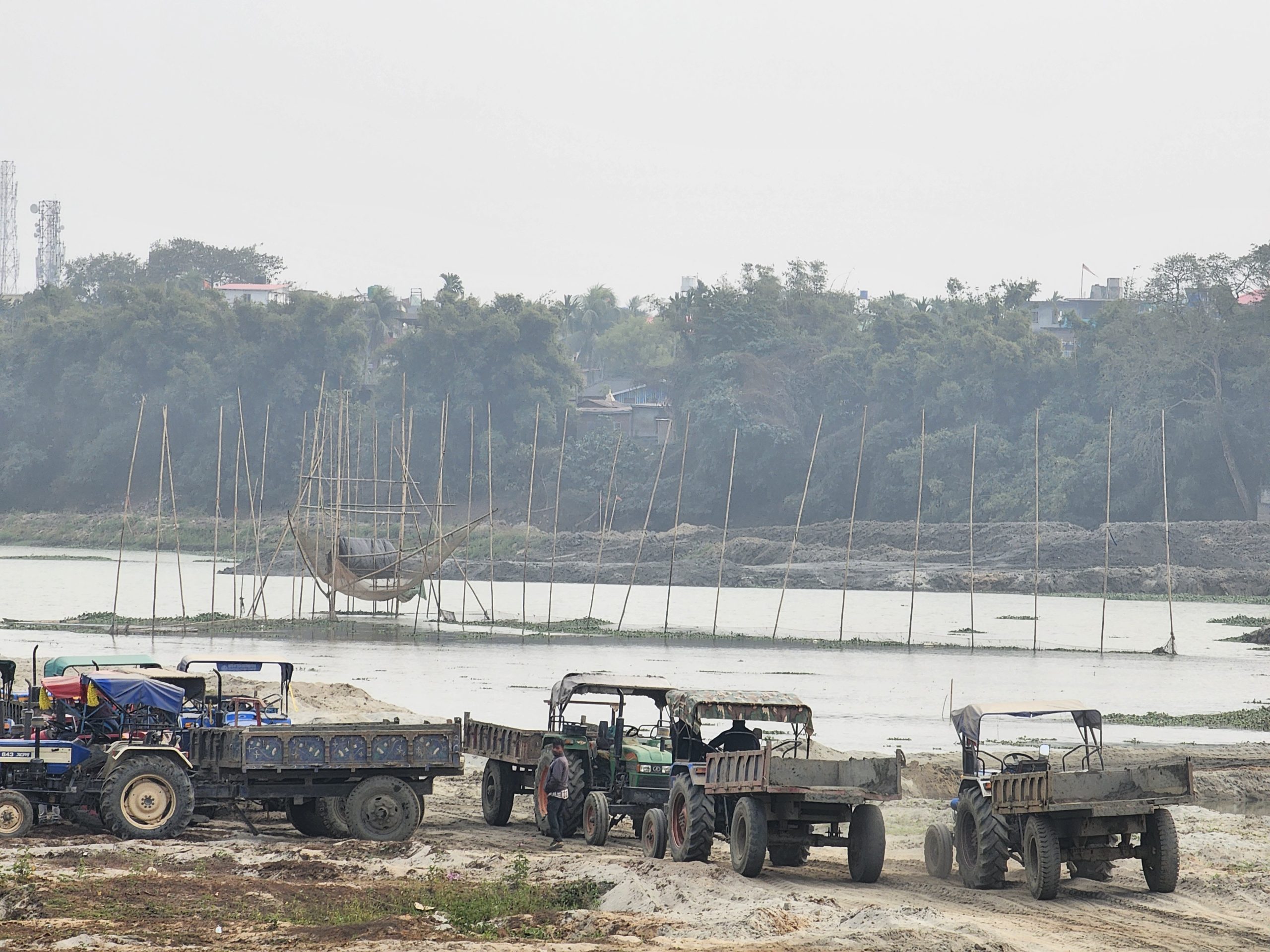
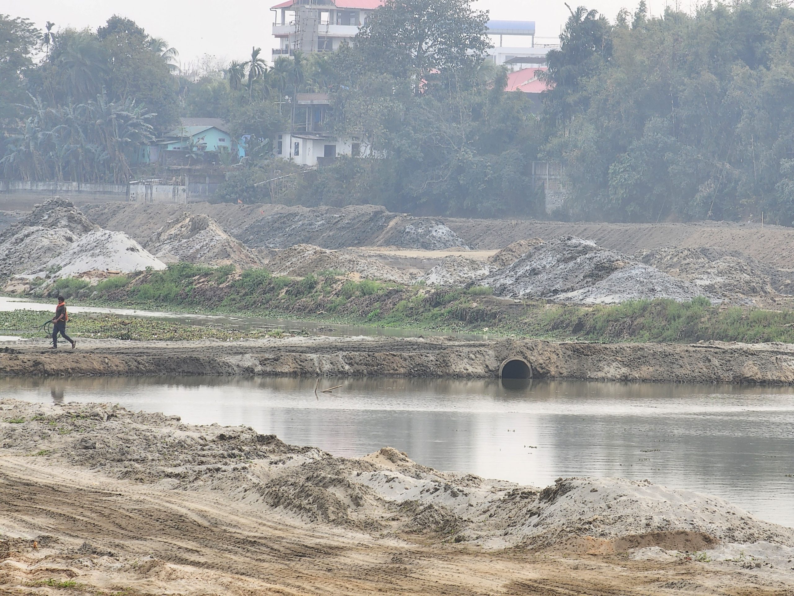
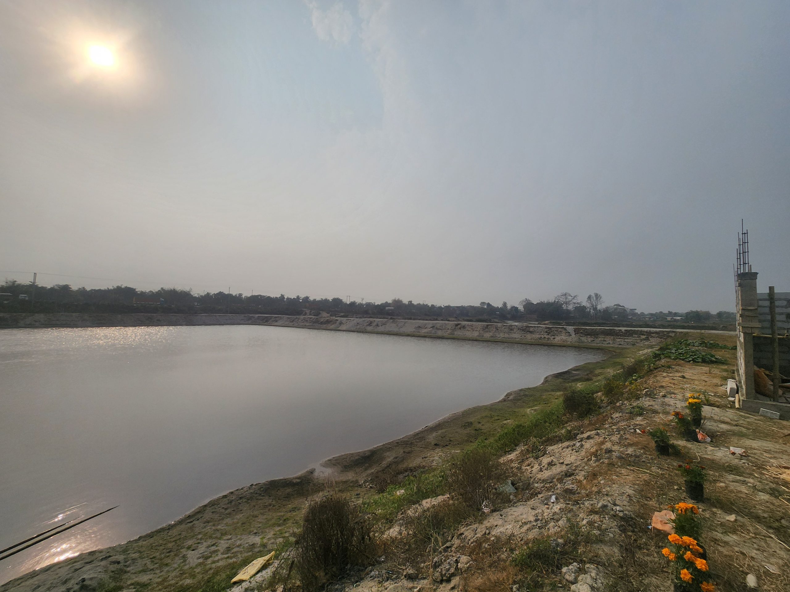
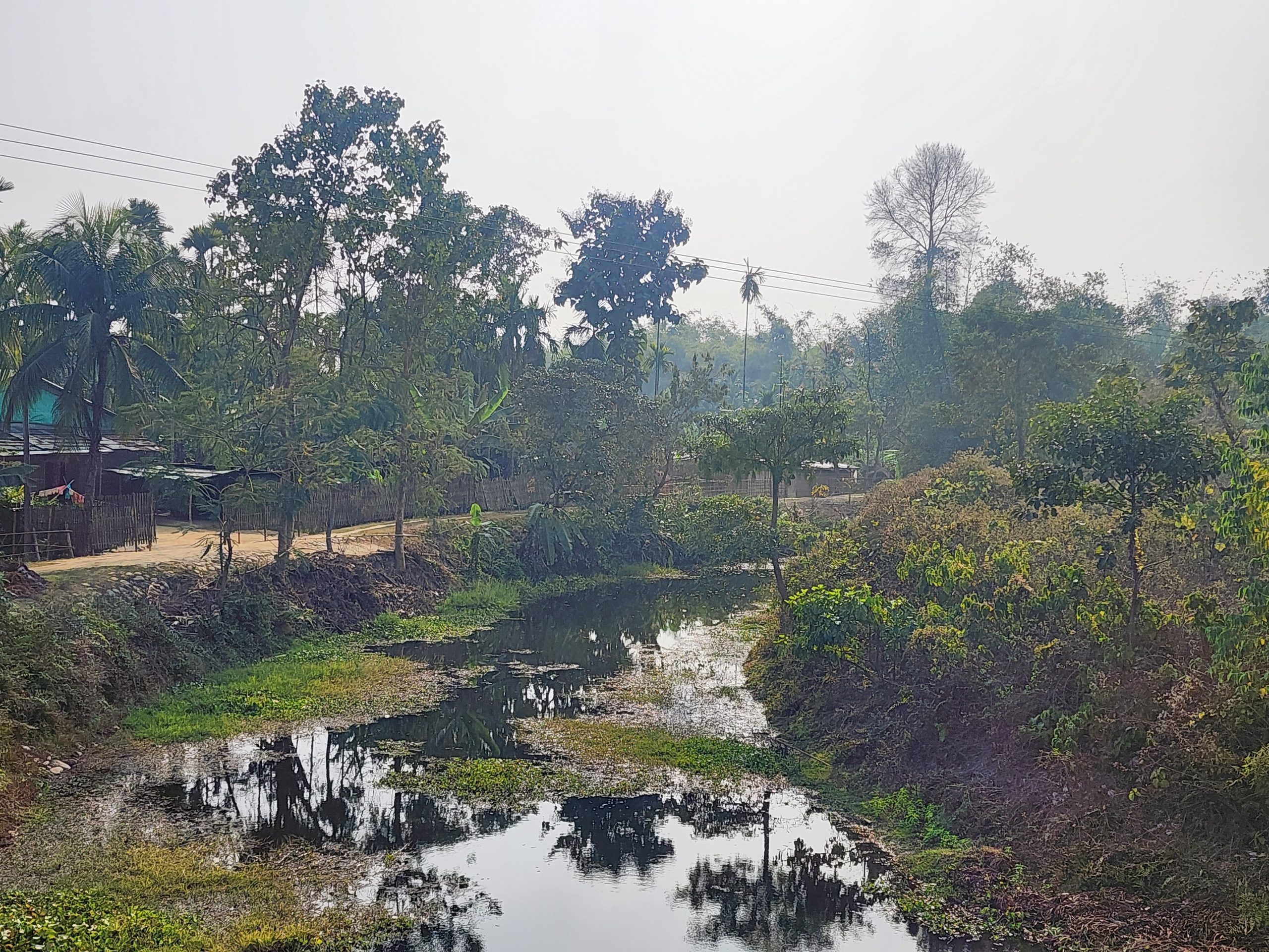
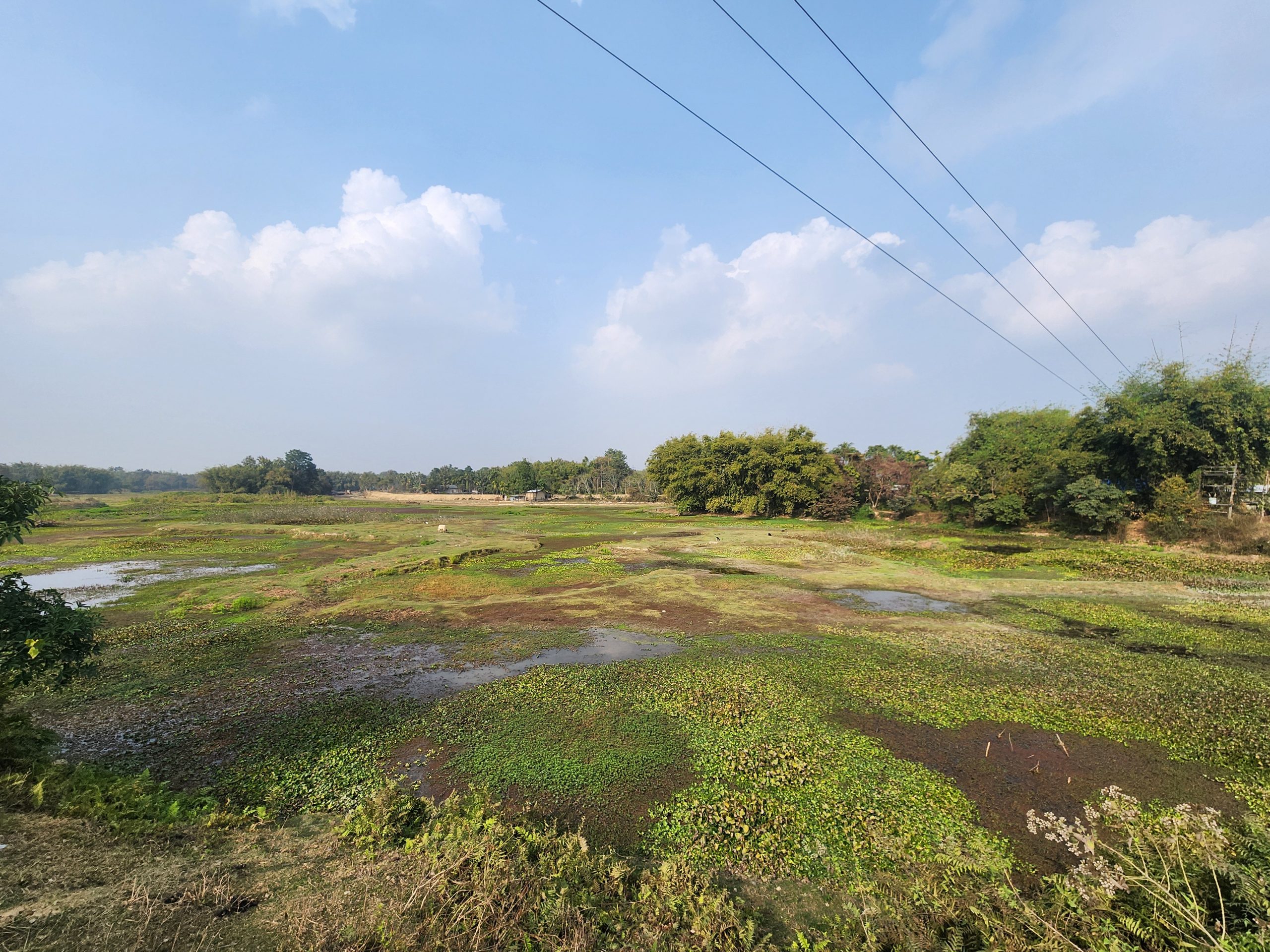
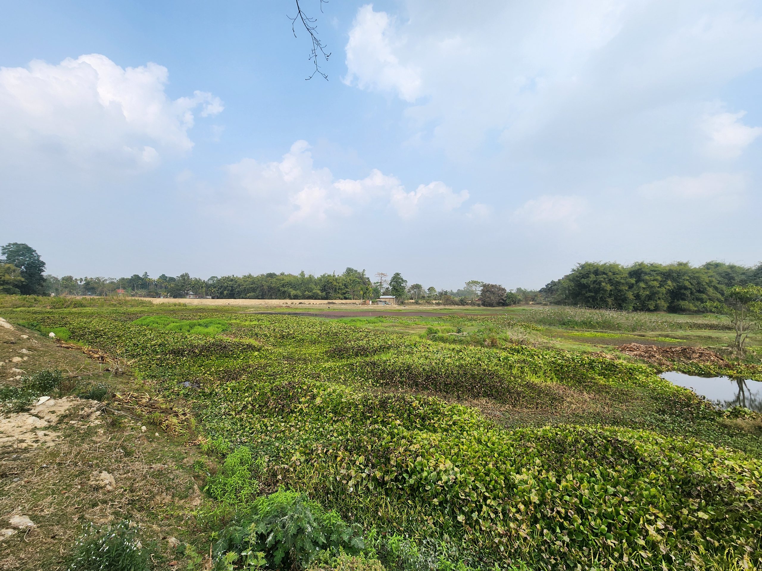
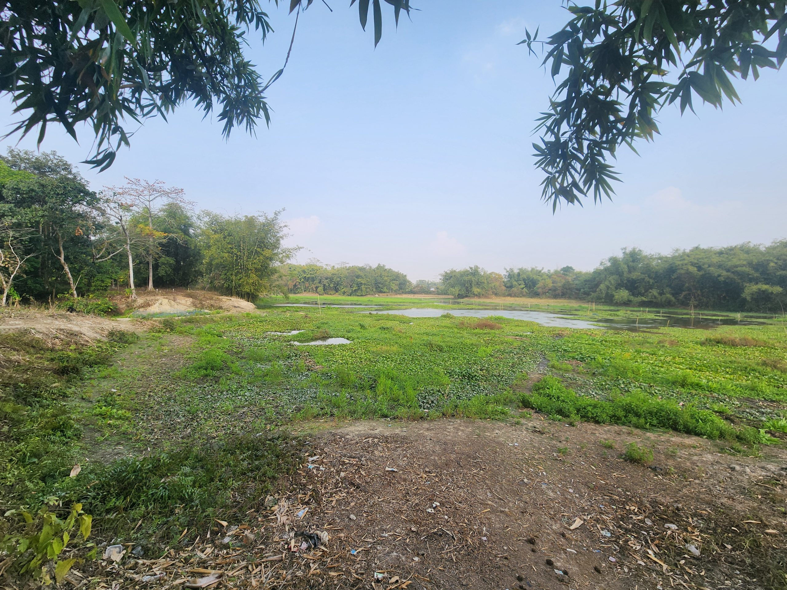
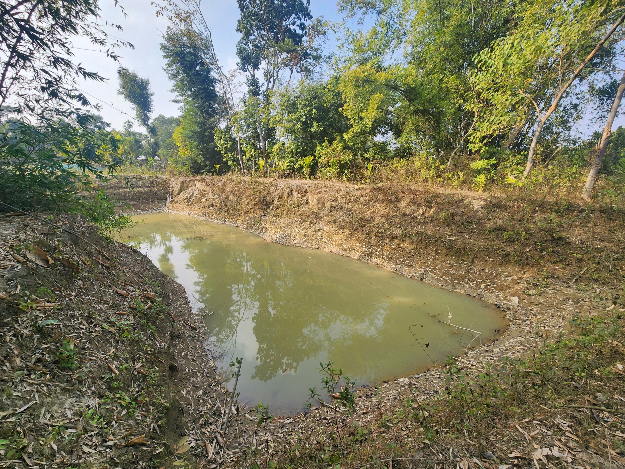
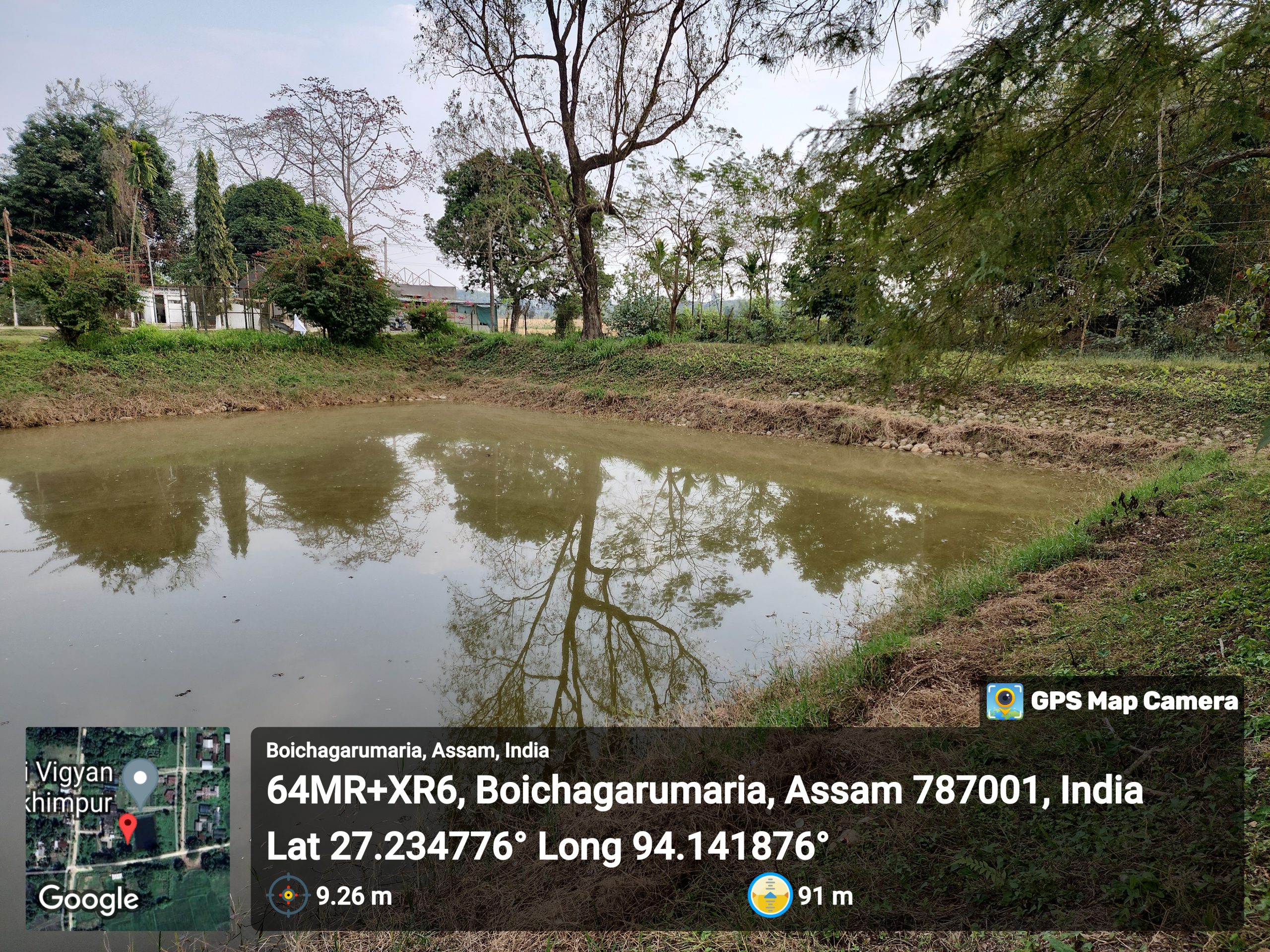
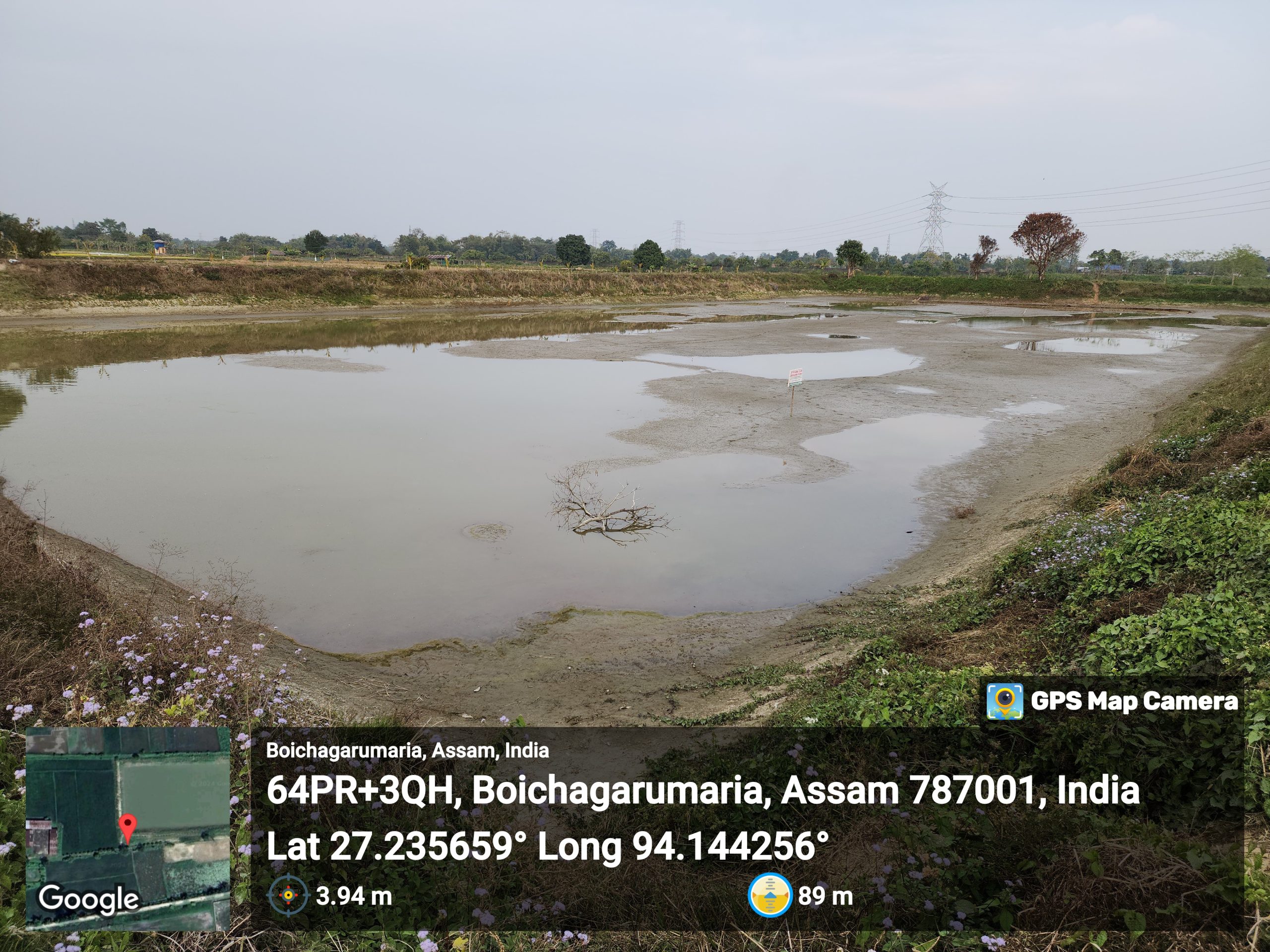
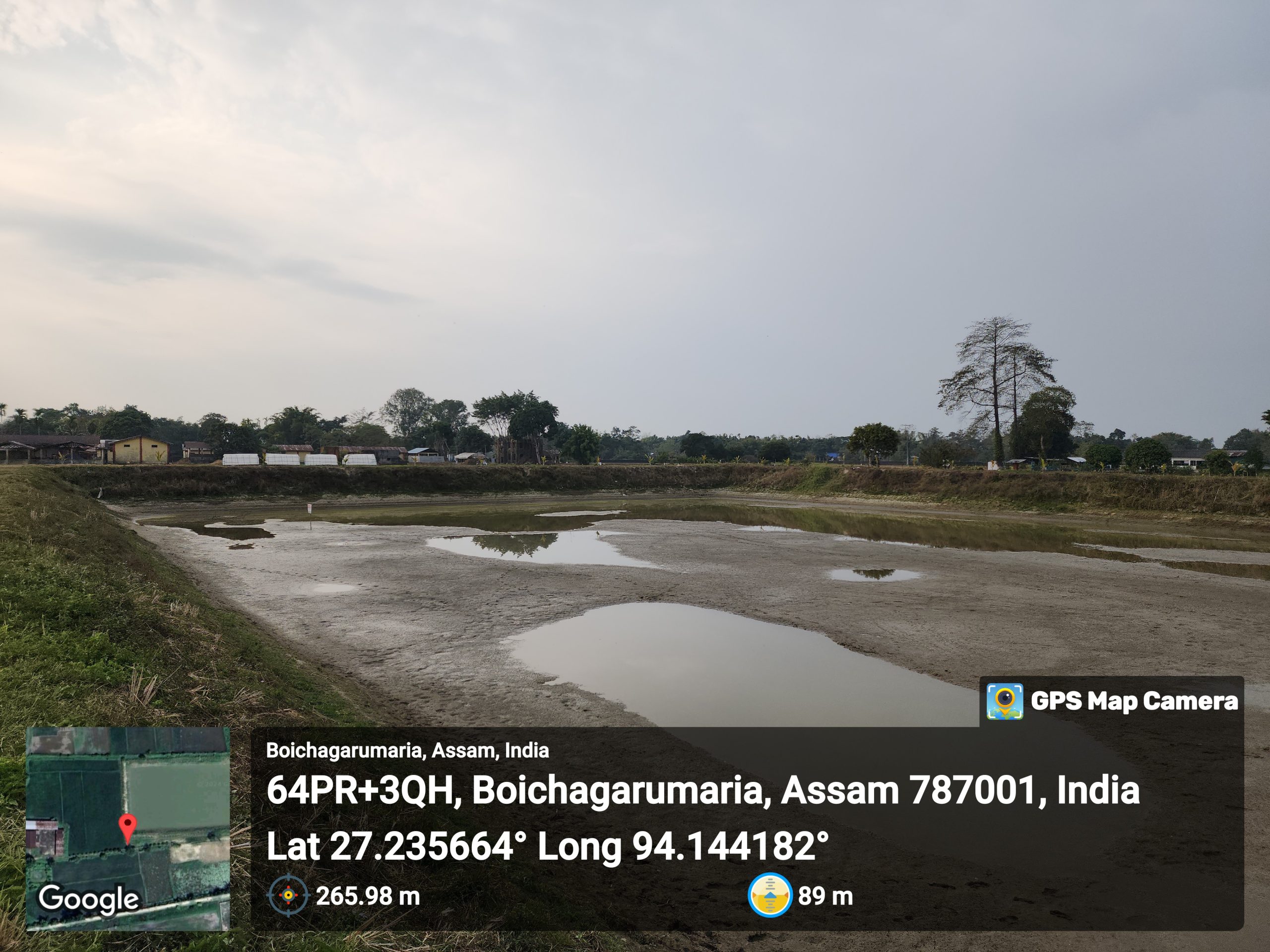
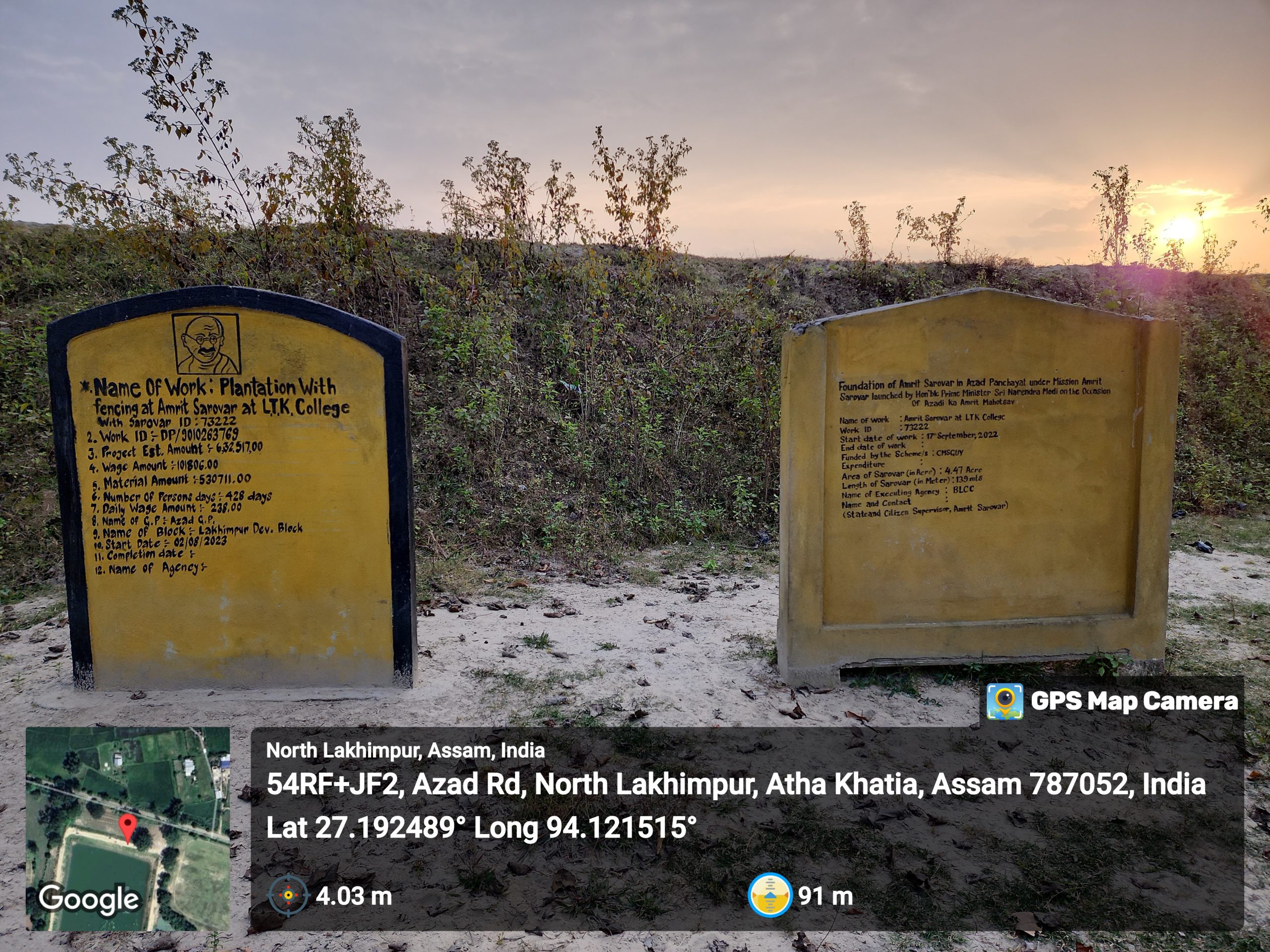
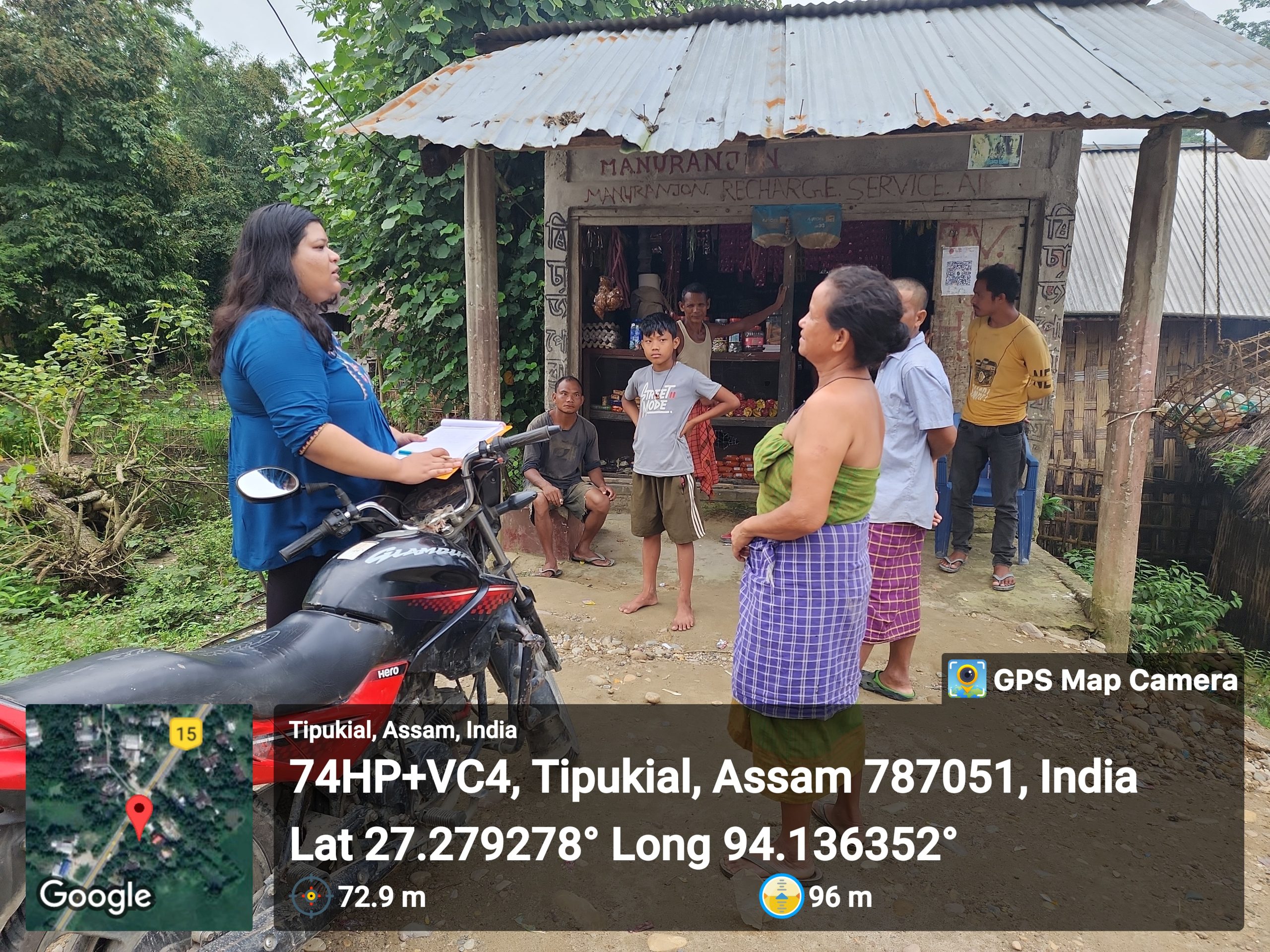
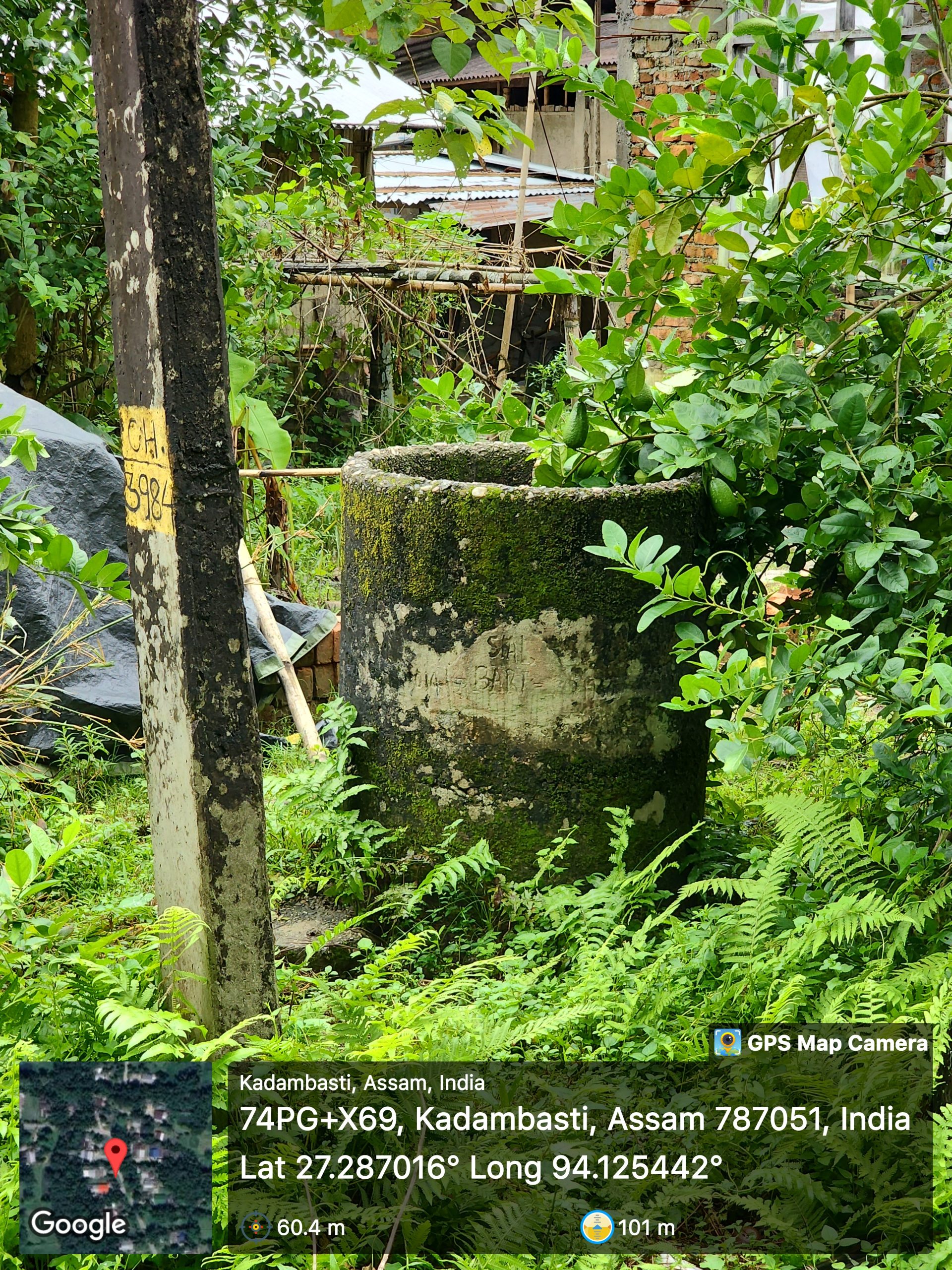
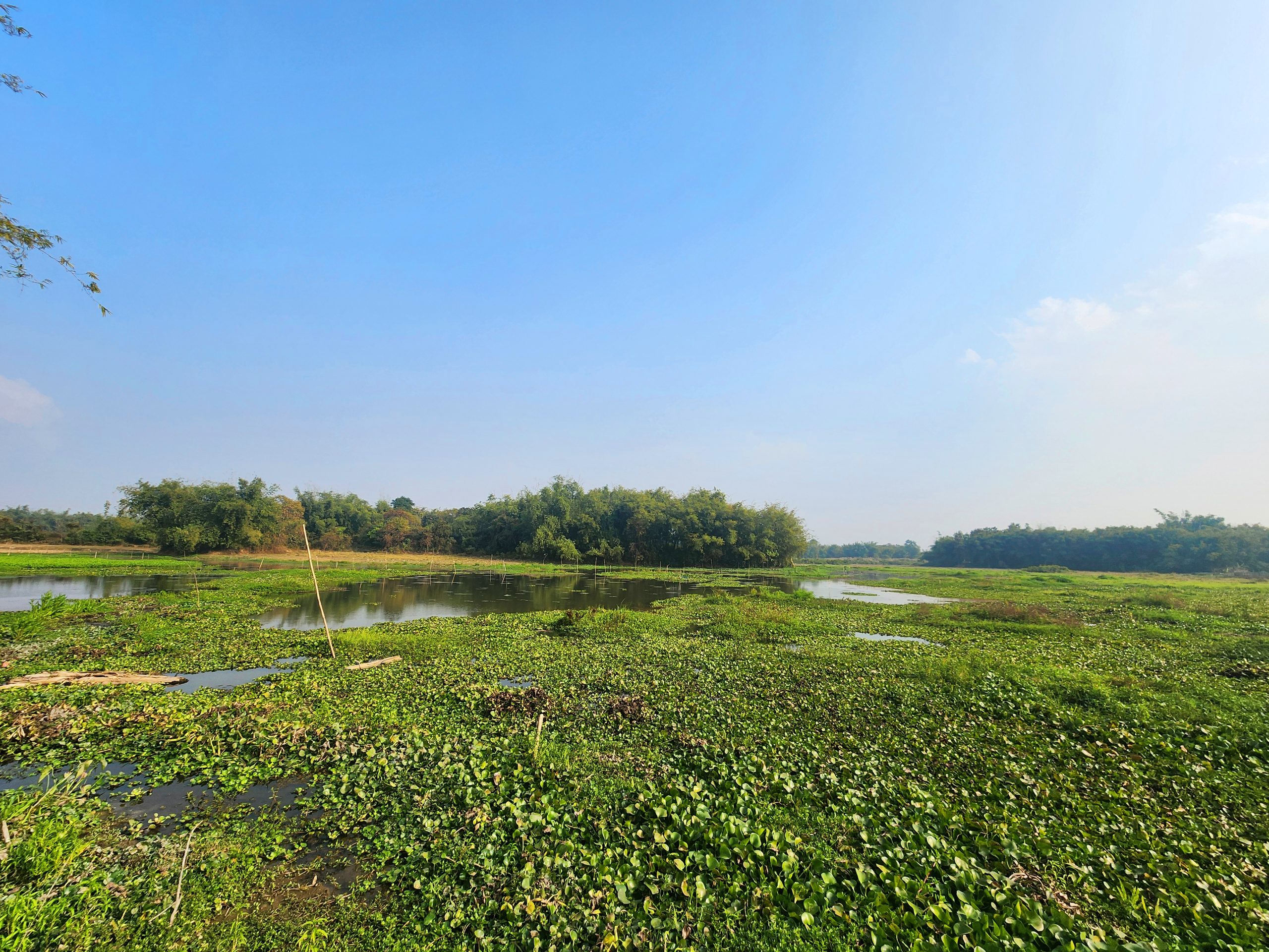
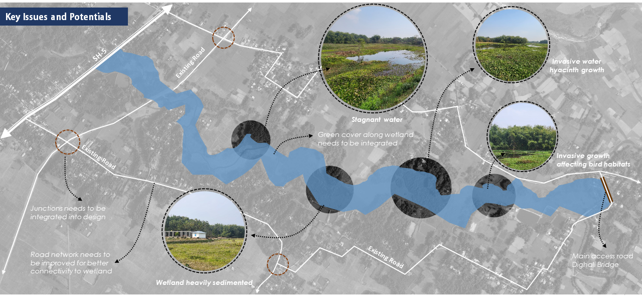
One such wetland is the Dighali wetland, located approximately 25km away from the main town of Tezpur. The wetland is easily accessible via State Highway 15 on the north and from Dighali Bridge on its southern boundary. Dighali Beel is under the jurisdiction of the Forest Department and spans across an area of approximately 30ha. The main village in its vicinity is Borgaon Village. The inhabitants of this area primarily engage in agriculture, supplemented by minor fishing endeavours. The wetland suffers from siltation, encroachment by invasive species, and habitat fragmentation, leading to stagnant water and ecosystem degradation.
The strategy comprises two key components:
- The main focus is on enhancing and restoring the natural environment of Dighali wetland to counteract the impacts of climate change.
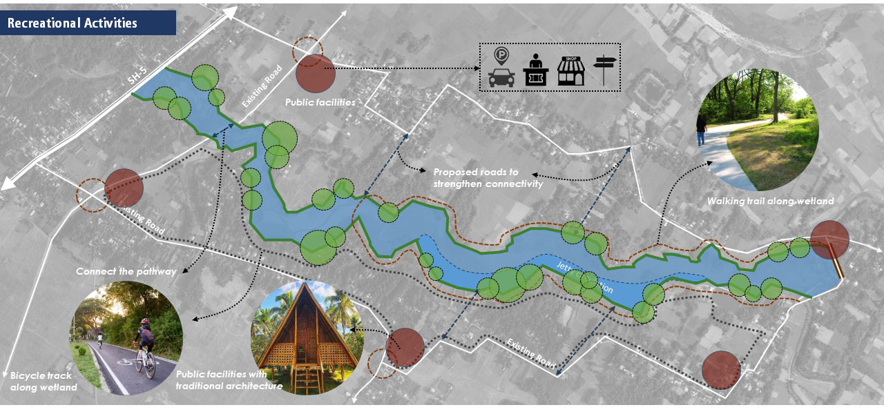
- The wetland will be developed sustainably as an eco-tourism hub, which in turn will contribute to community development and livelihood generation.
• Wetland Revival: Restore the Dighali wetland ecosystem to its natural state.
• Preserving Nature: Retaining the existing lush riparian buffers.
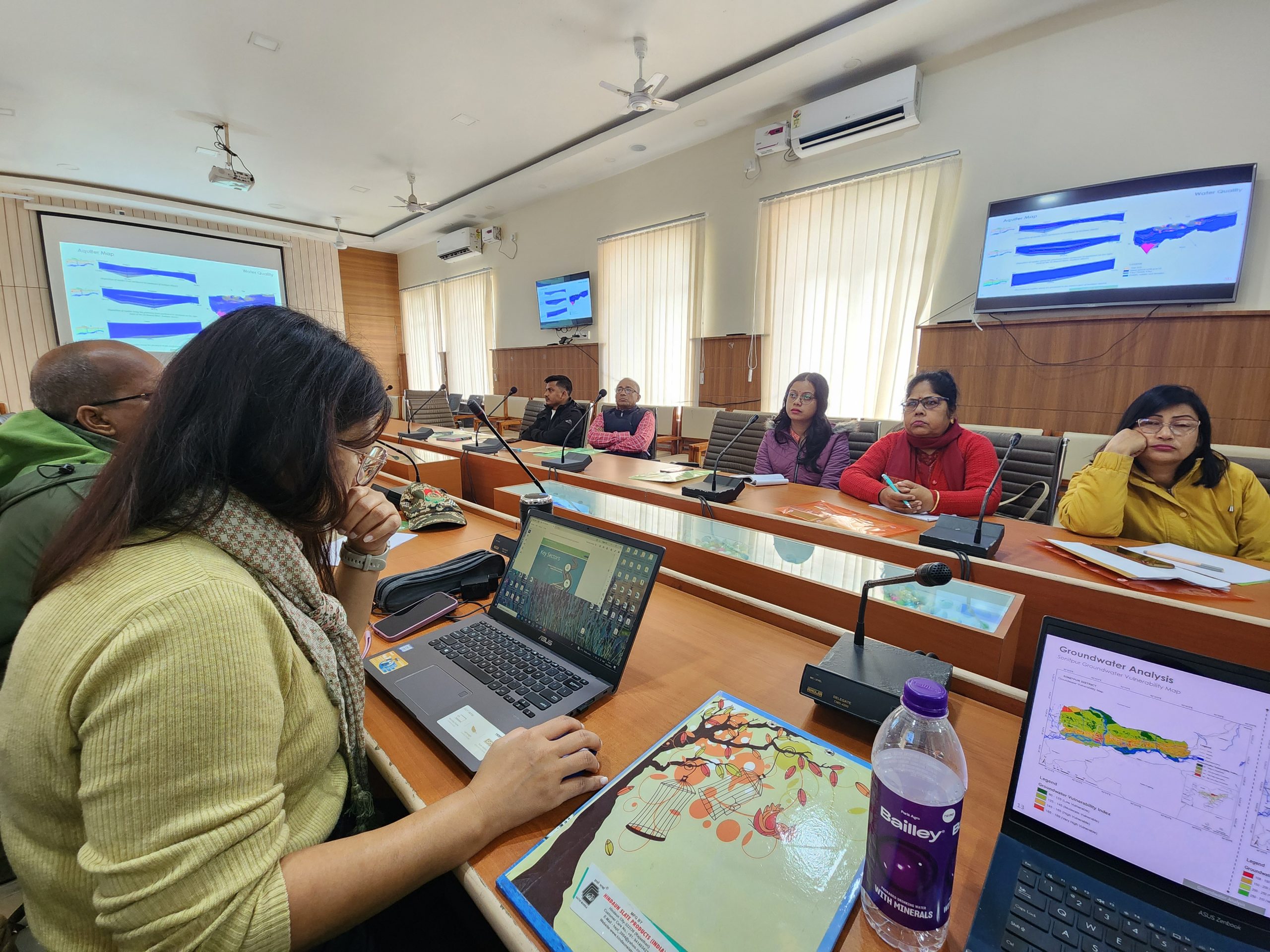
• Groundwater Recharge: Water percolation for groundwater recharge.
• Natural Water Reservoir: Reliable water source during dry periods.
• Eco-tourism Opportunities: Low-impact infrastructure, fostering environmental conservation and awareness, while offering visitors both enjoyable and informative experiences.
• Livelihood Generation: Create income sources for the local people and involve them in the decision-making process.
• Public Realm: Proposing green open spaces for recreational purposes.
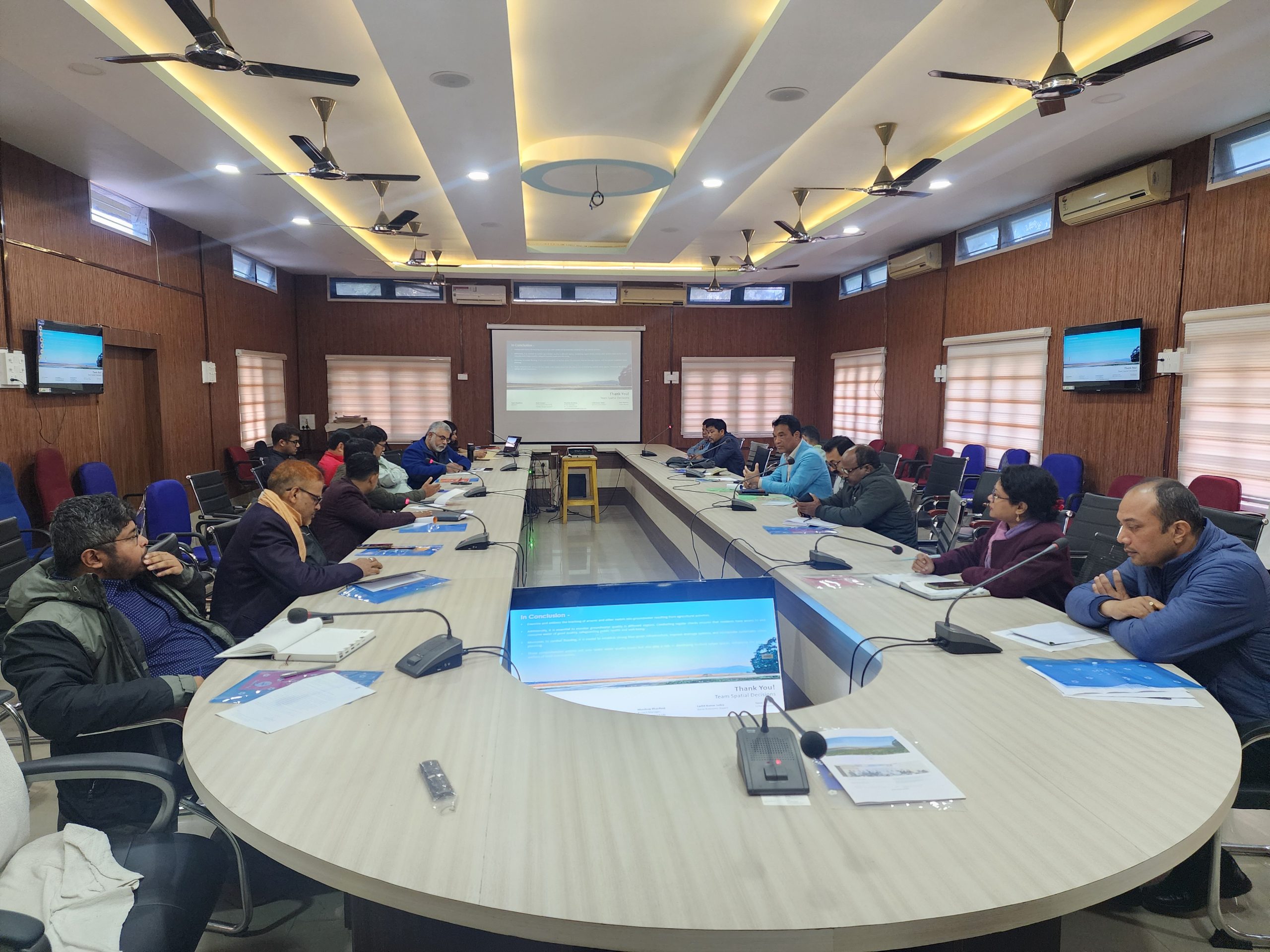
Technical & Design Aspect
Wetland Restoration – The wetland restoration involves topographic surveys for boundary delineation, hydrological restoration, de-siltation, and construction of channels. Additionally, it focuses on protecting biodiversity through flora and fauna surveys, reintroducing native species, managing invasive species, and promoting sustainable fisheries.
Tourism Activities – The wetland will be developed as an ecotourism destination with activities like bird watching, butterfly parks, and boating. Visitor facilities will include boardwalks, craft villages, food stalls, and educational programs. Additionally, public amenities and connectivity paths for walking and cycling will enhance accessibility and promote environmental awareness. The design will mirror the look and feel of its surroundings, seamlessly blending into the natural landscape.
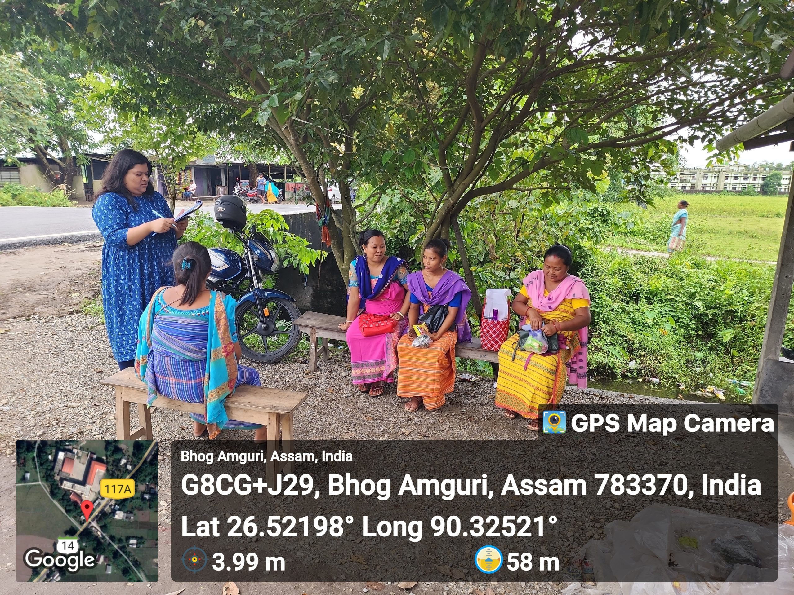
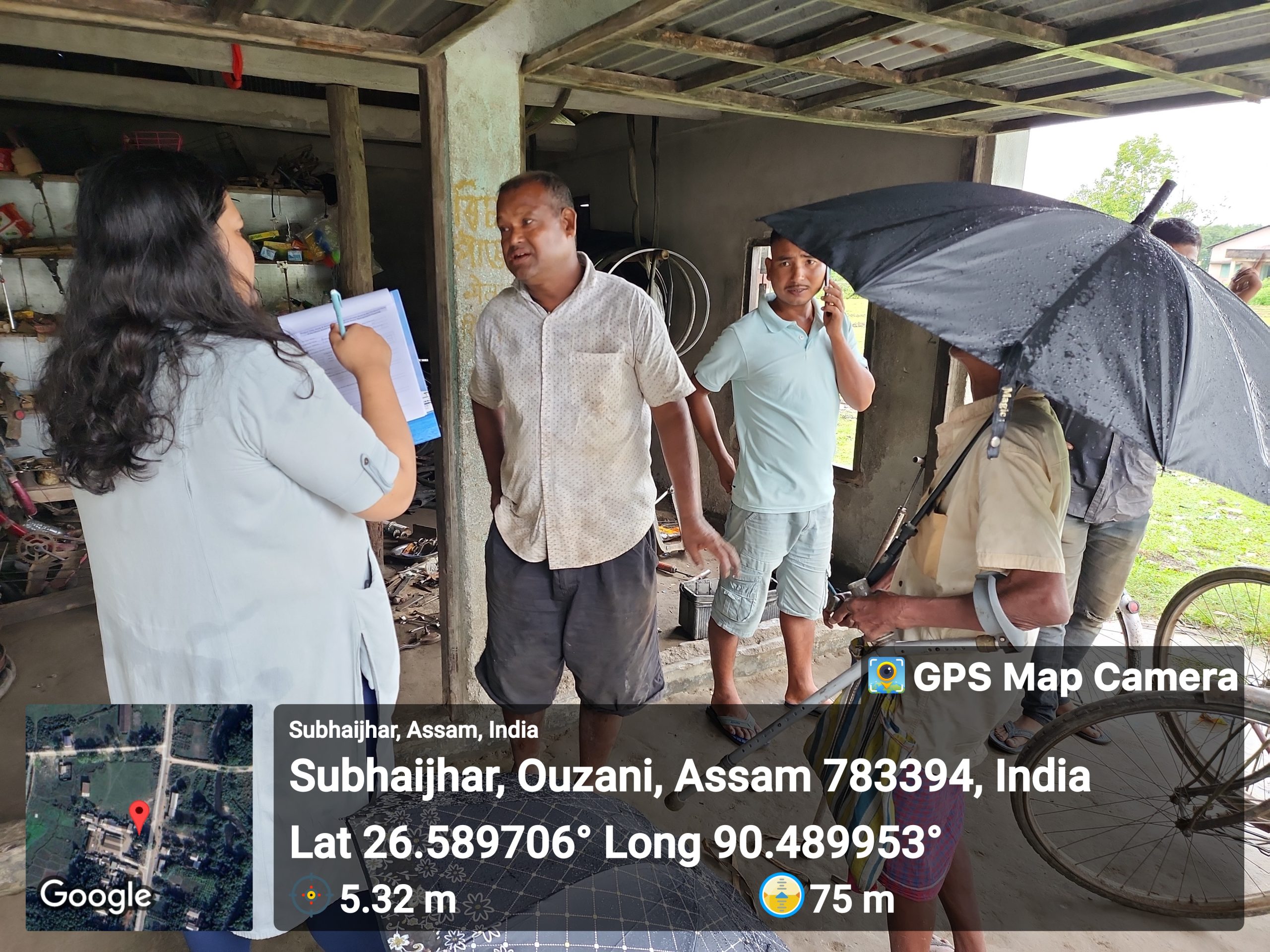
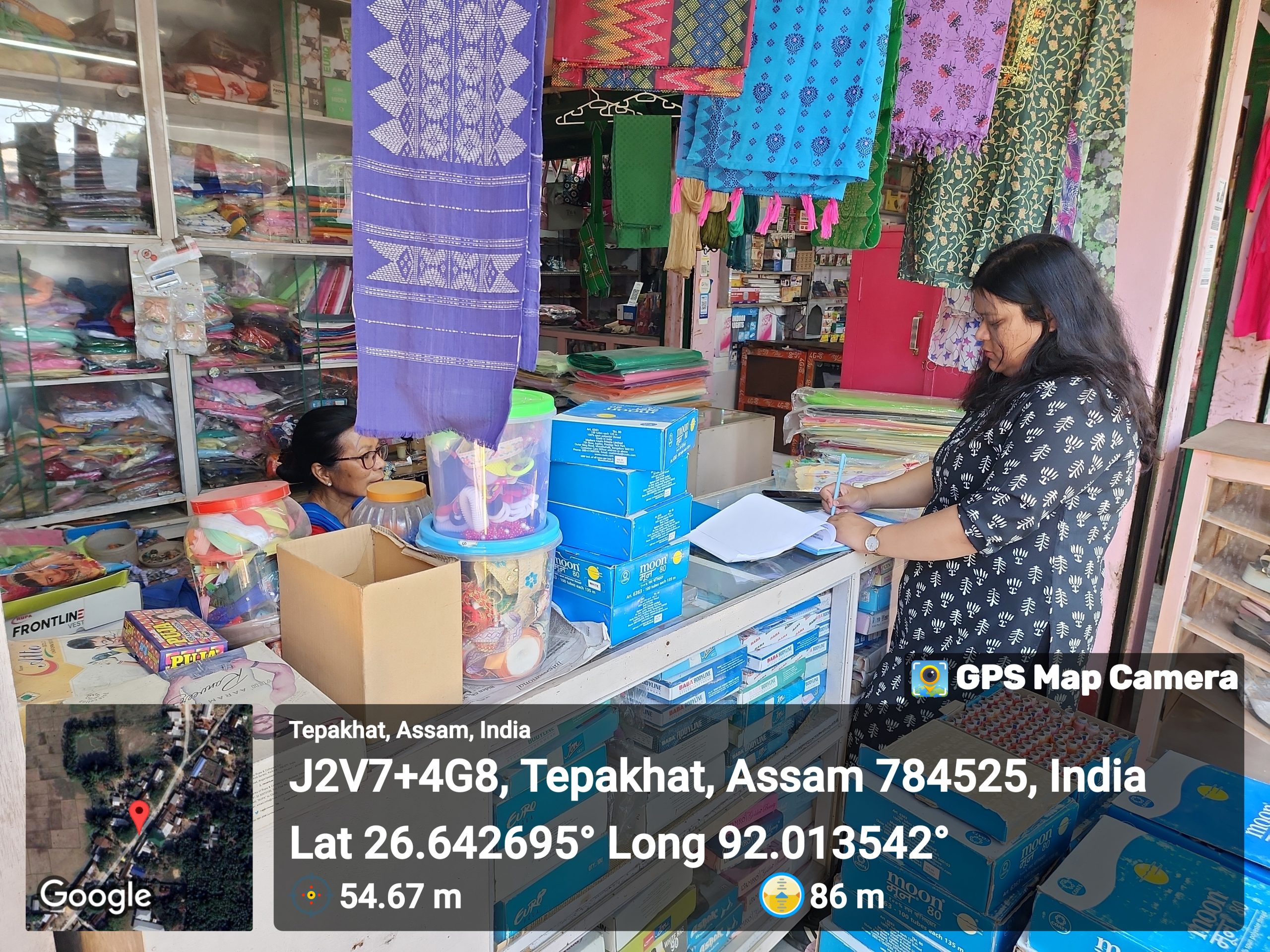
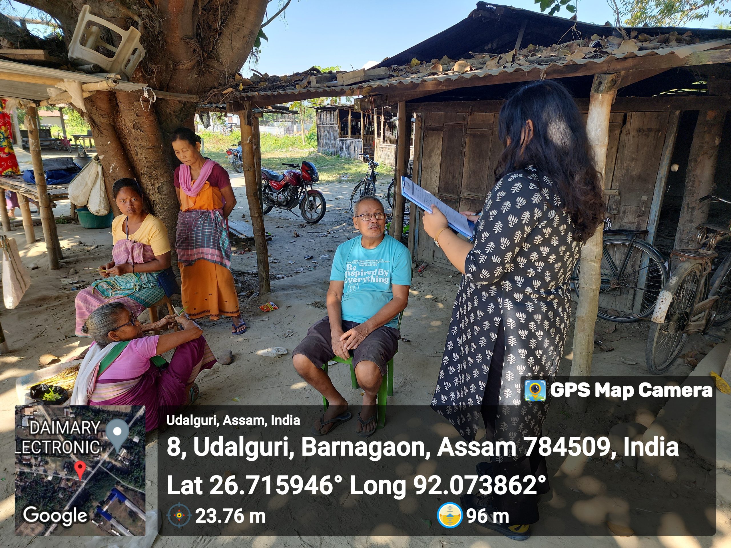
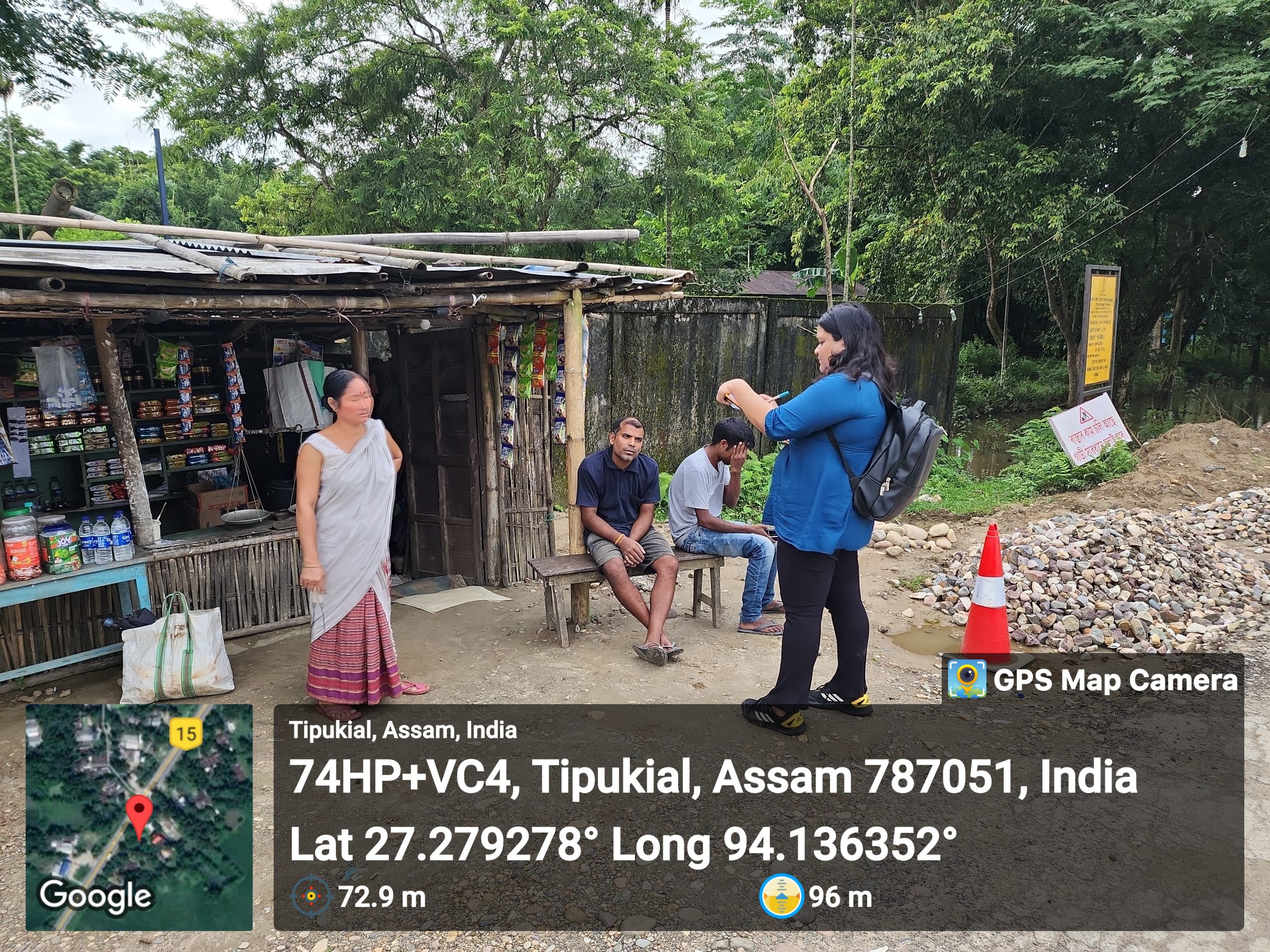
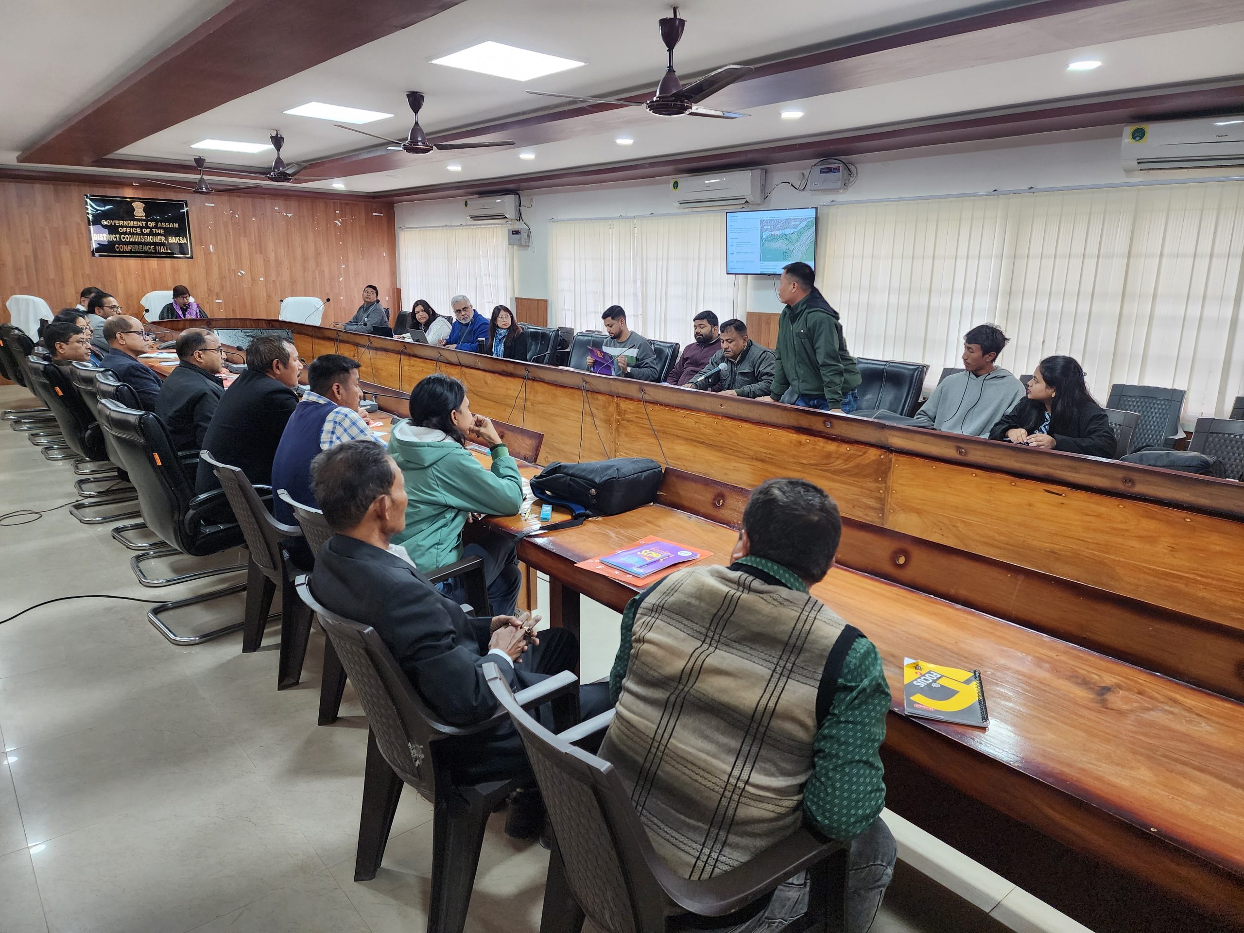
For effective conservation and management, it’s crucial that local communities fully grasp the significance of wetlands within water cycles and comprehend the impacts of human activities on these ecosystems. The involvement of students and the community residing along the wetland could benefit wetland conservation and management. The aim is to engage the local community in actively managing, protecting, and conserving the wetland ecosystem. Fostering a sense of ownership and responsibility among community members to create a sustainable framework for the long-term preservation of the wetland’s ecological integrity. Training programs can empower villagers to participate in monitoring and conservation efforts, promoting ownership and responsibility for the wetland’s well-being.
Beyond enhancing water availability in the nearby villages, the project’s ripple effects extend to economic upliftment, with the potential to attract more visitors from the adjacent towns of Tezpur and Dhekiajuli due to its tourism prospects. This influx of visitors can stimulate economic activity, generating job opportunities and improving livelihoods for the local population.