Flood Management Plan for Dibrugarh Town
Client:
Assam Climate Change Management Society (ACCMS)
Location:
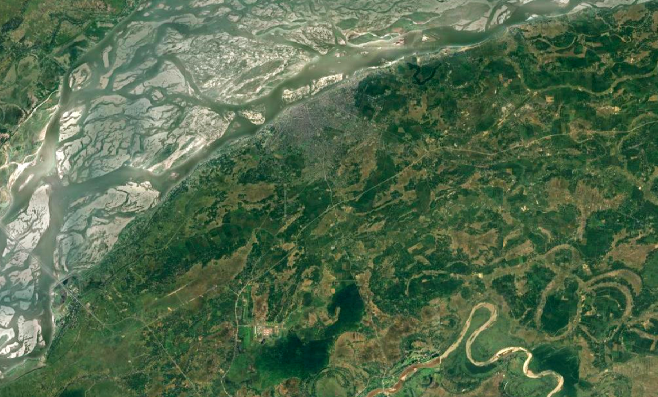
Dibrugarh, Assam, India


Client:
Assam Climate Change Management Society (ACCMS)
Location:
Dibrugarh, Assam, India
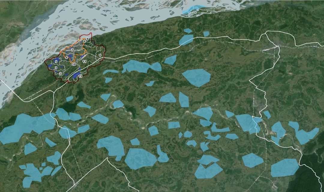
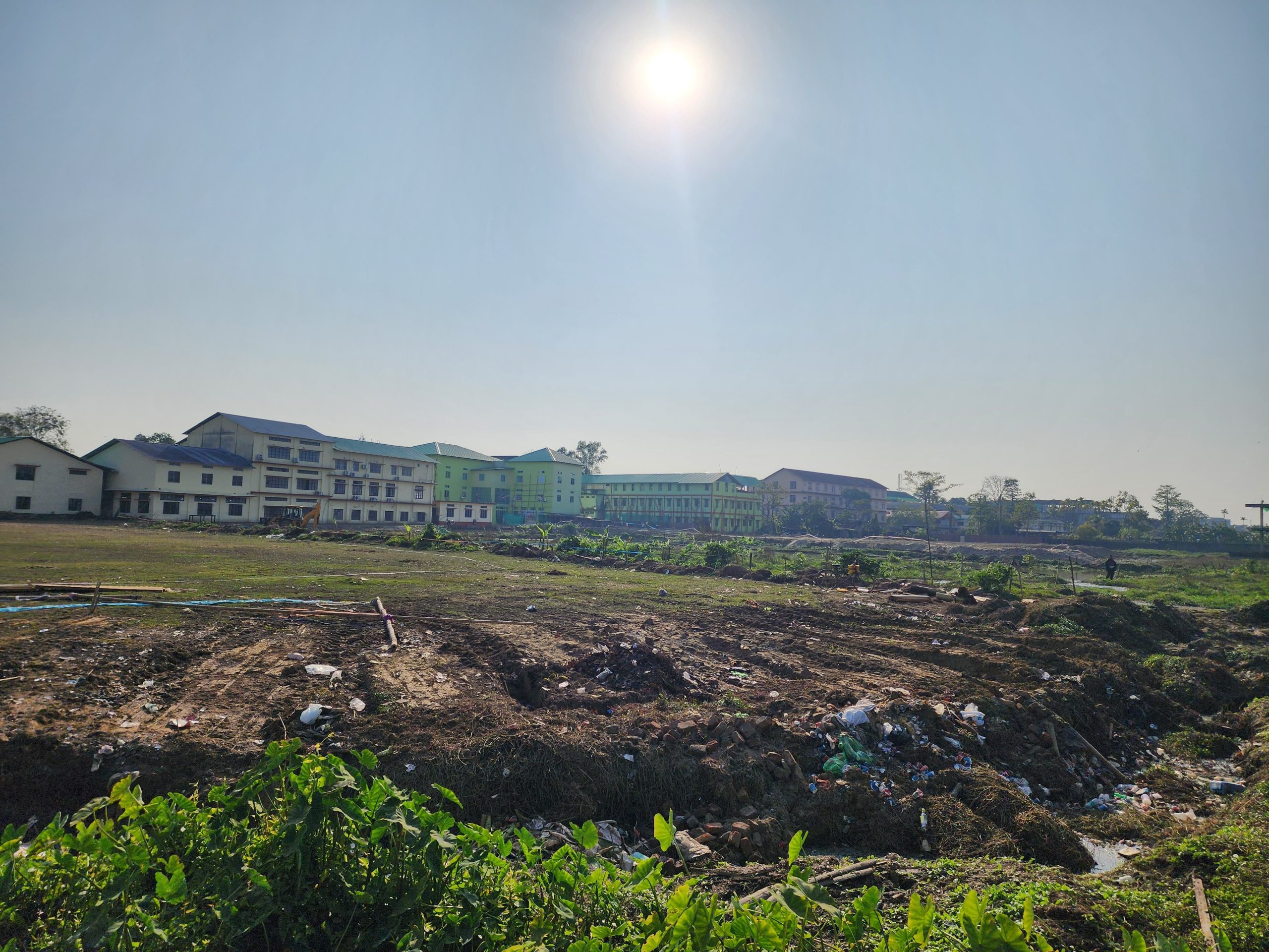
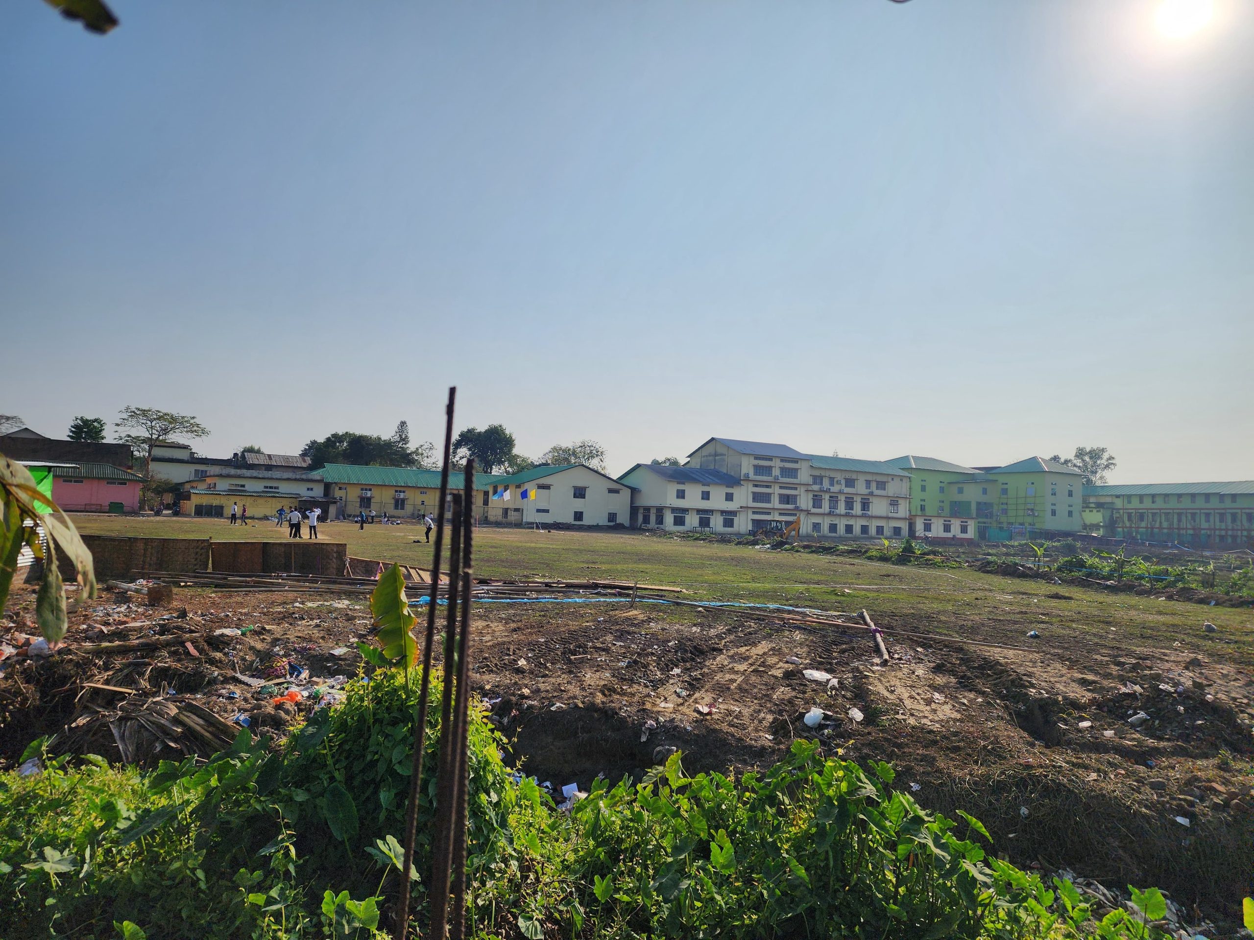
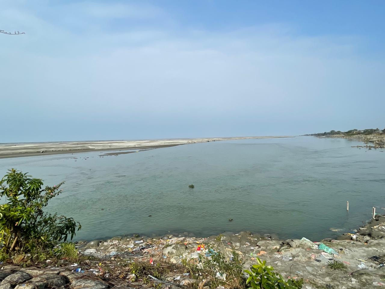
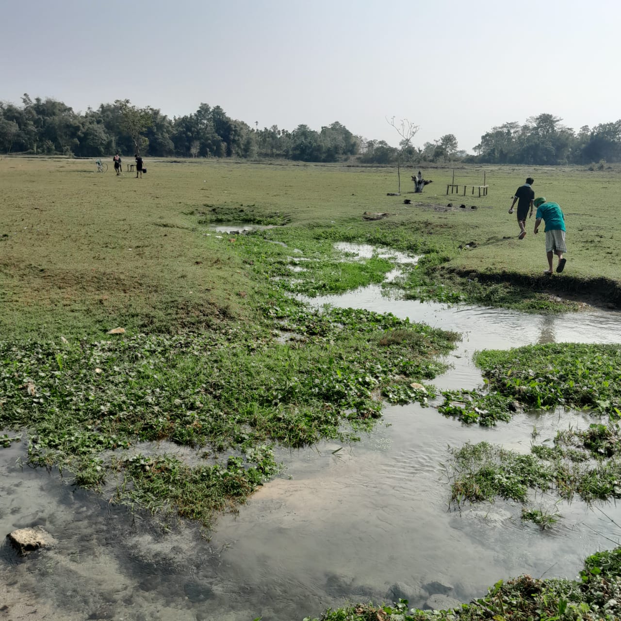
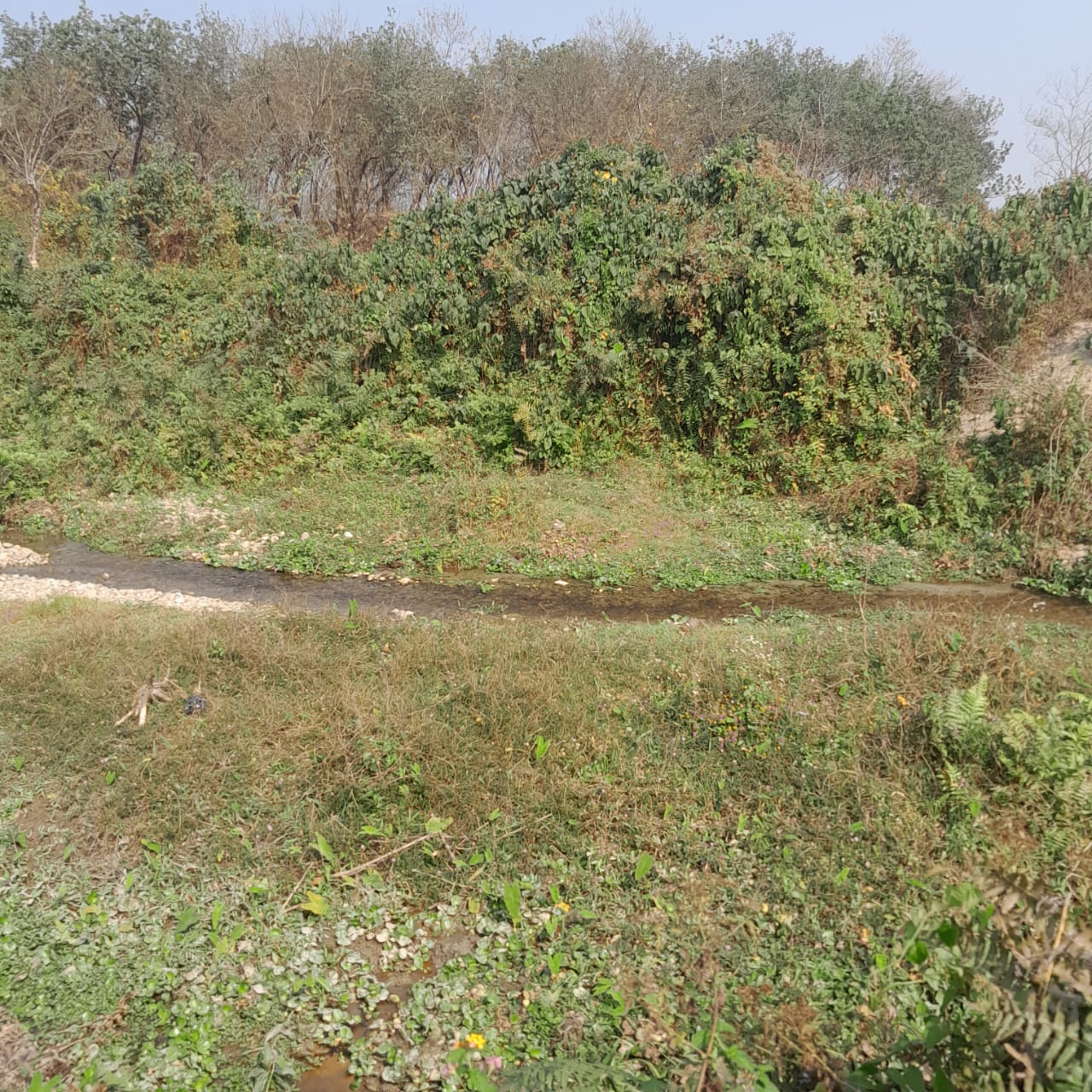
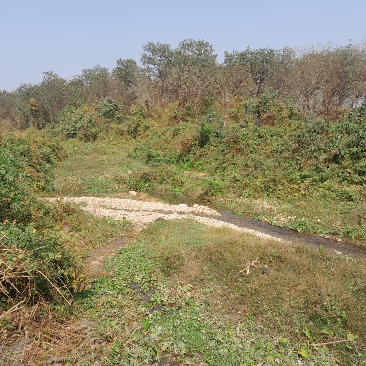
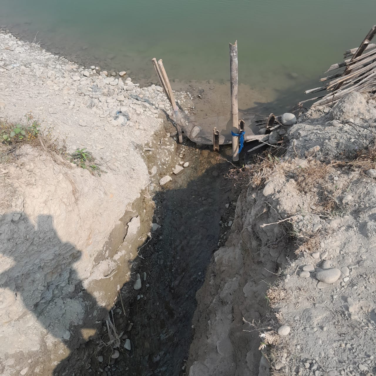
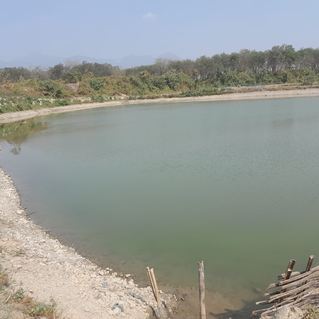
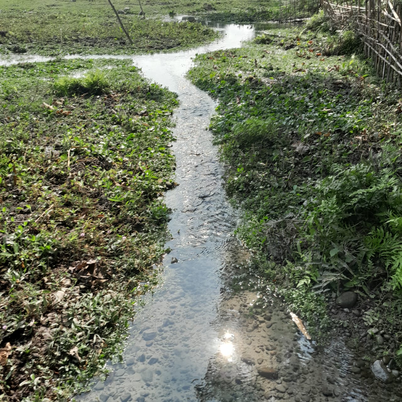
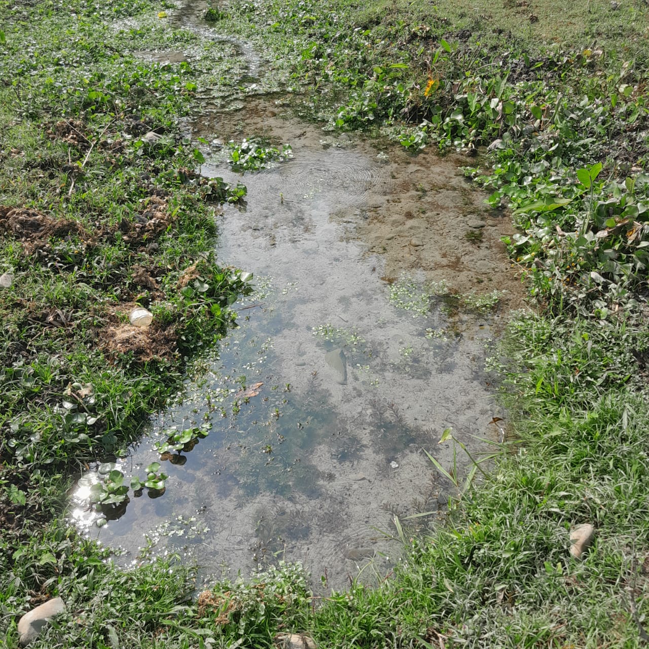
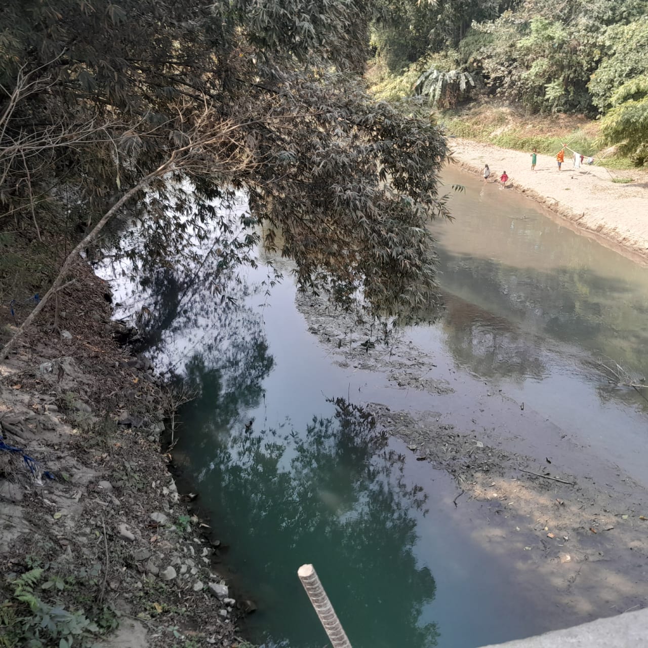
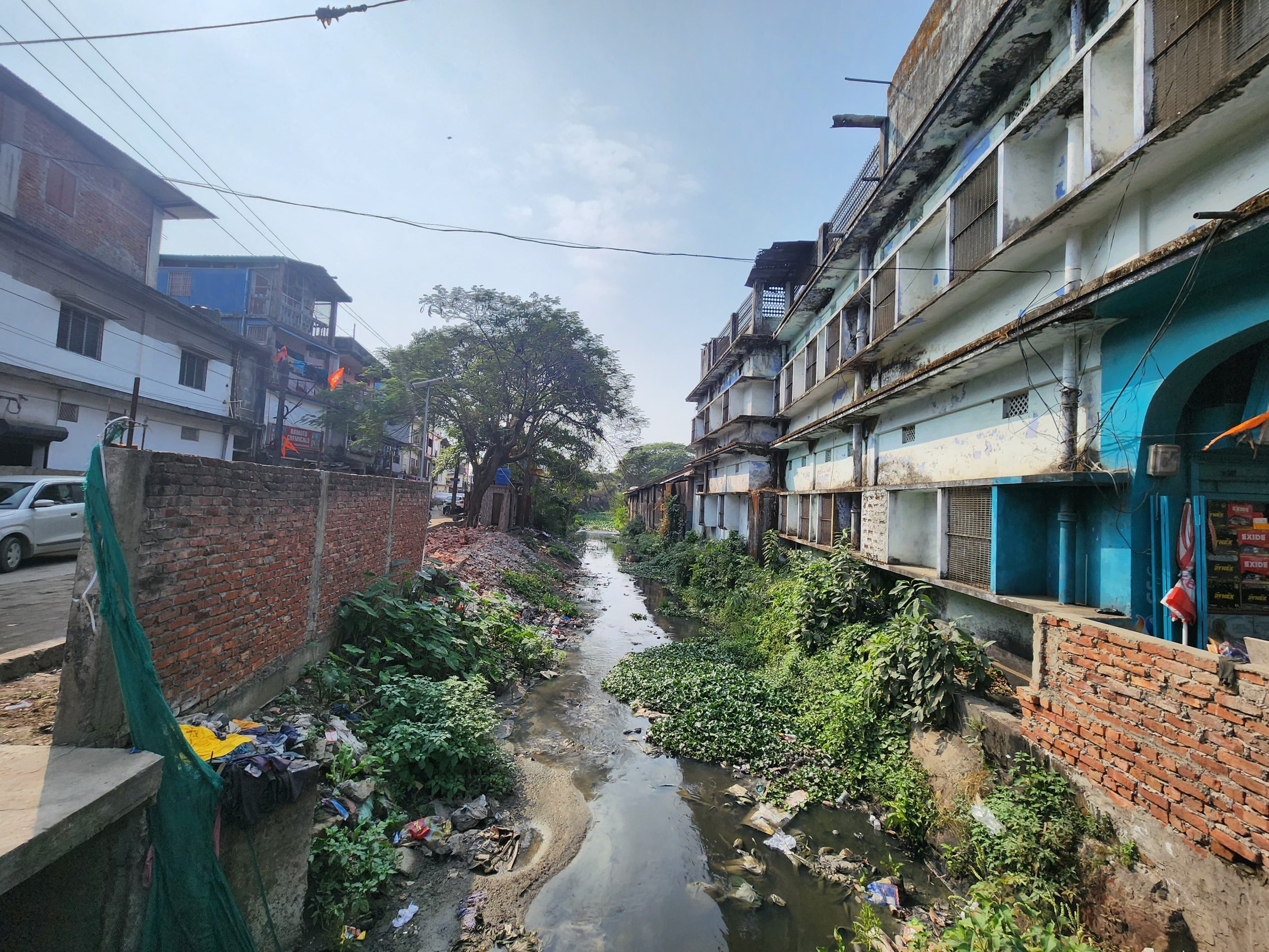
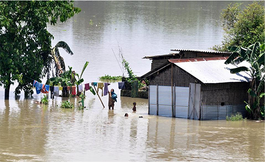
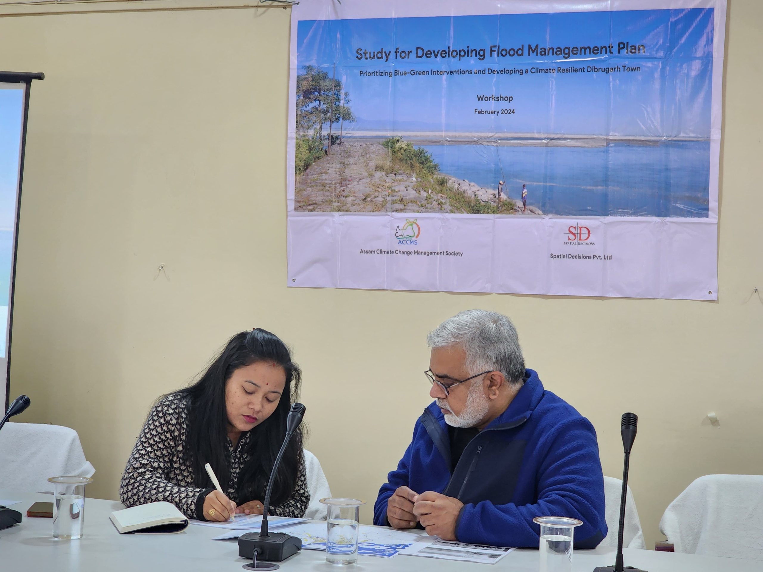
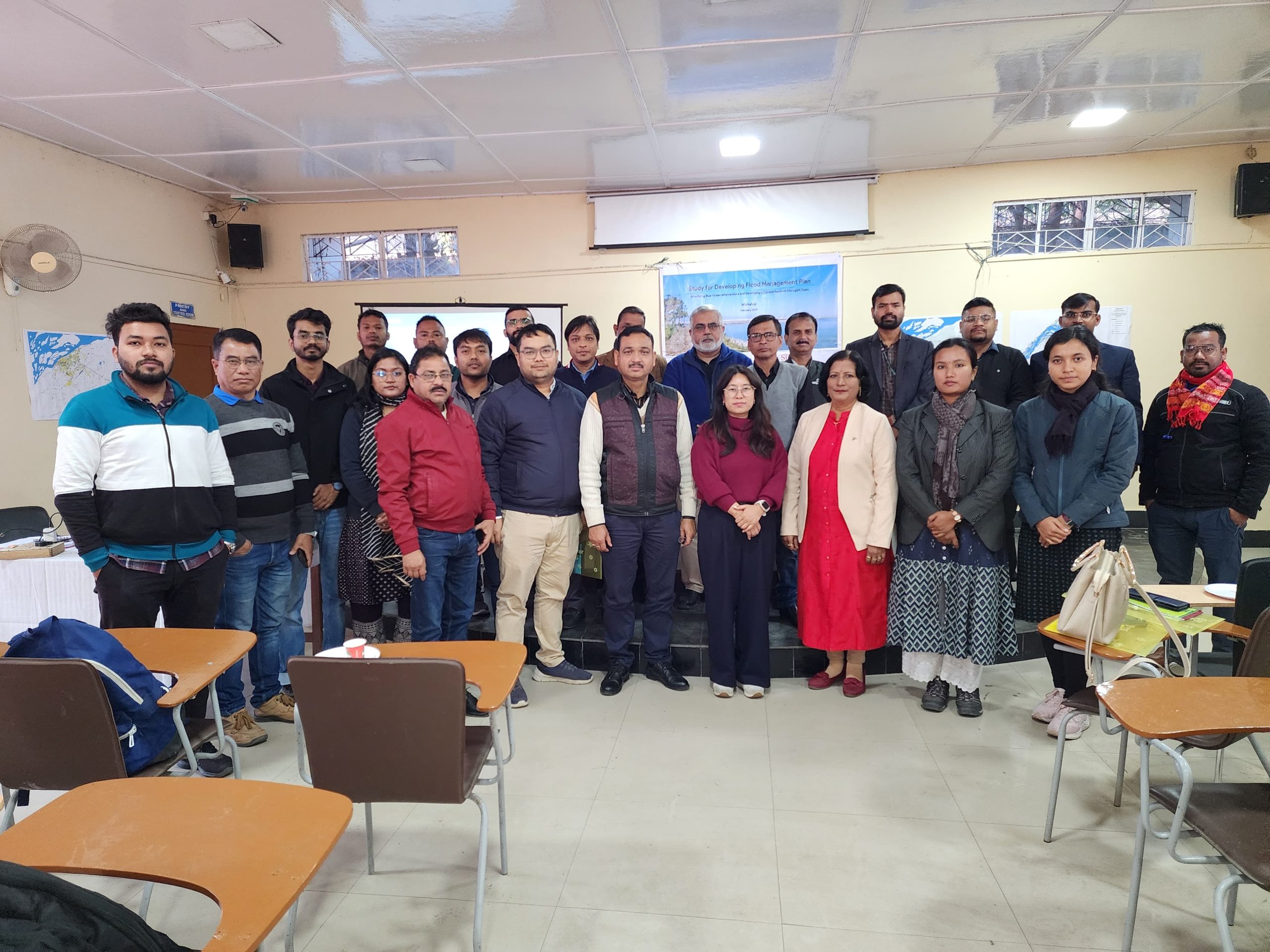
Dibrugarh town has experienced increasing urban flooding due to rapid urban expansion, along with inadequate drainage systems, high rainfall, and improper land use. These problems are being intensified by climate change,leading to more frequent and severe flood events. That’s why the project was initiated by local government agency to better understand flood risks and climate vulnerability across the town and to guide the development of a climate resilient Dibrugarh for the future.
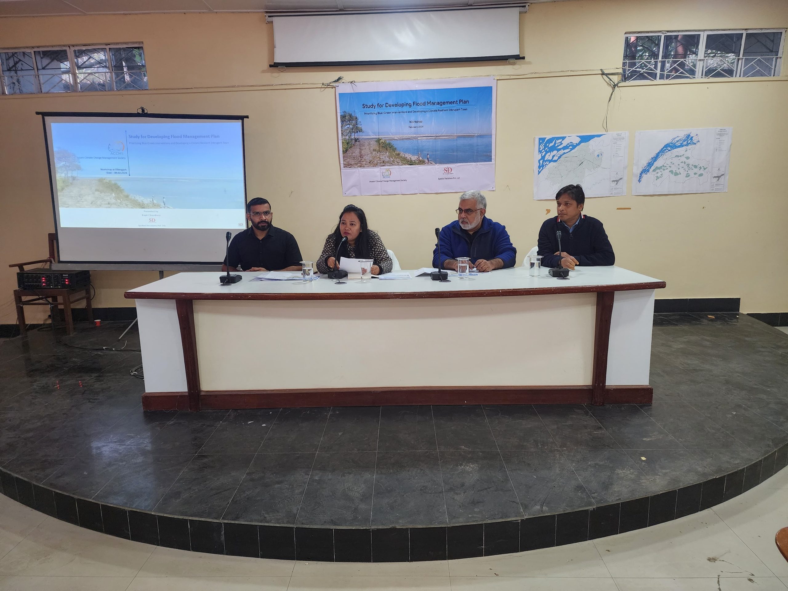
As part of the project, Spatial Decisions carried out a comprehensive assessment, proposed adaptation and strategies to reduce flood impacts and strengthen the town’s long-term flood management capacity.
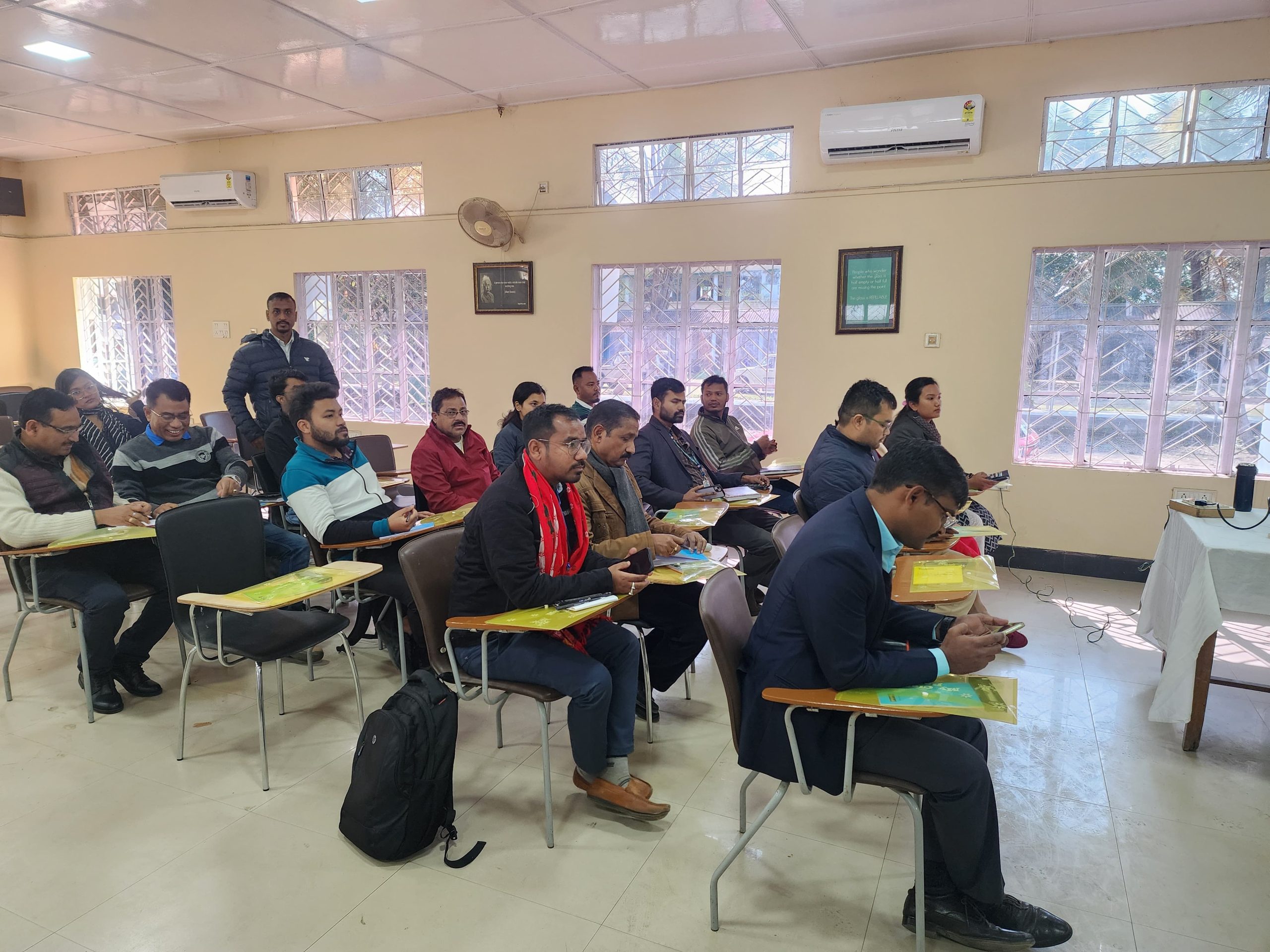
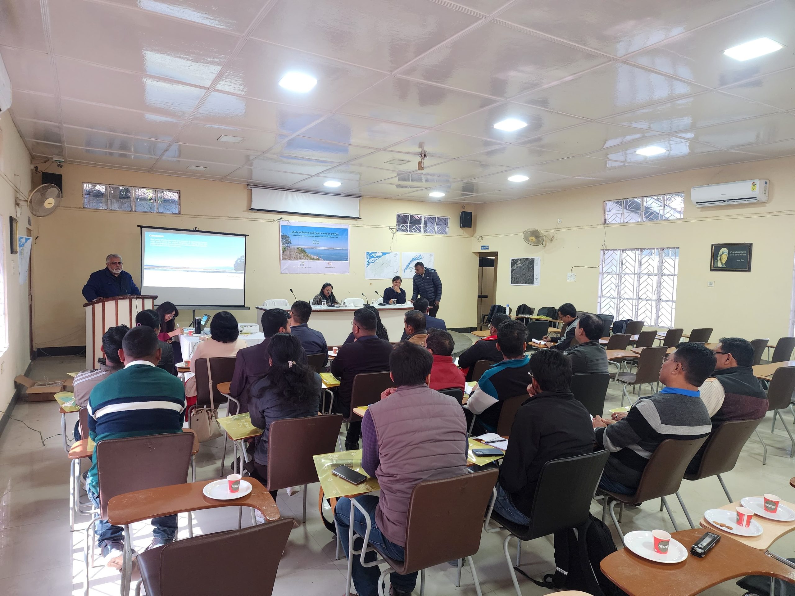
The project included data-driven flood risk assessment, climate impact studies, and stakeholder engagement to identify vulnerable areas and priority actions at the municipal scale.
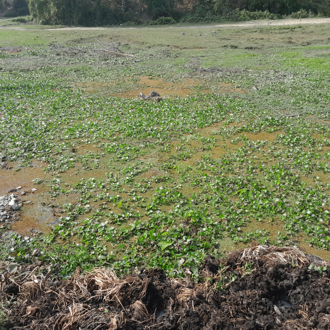
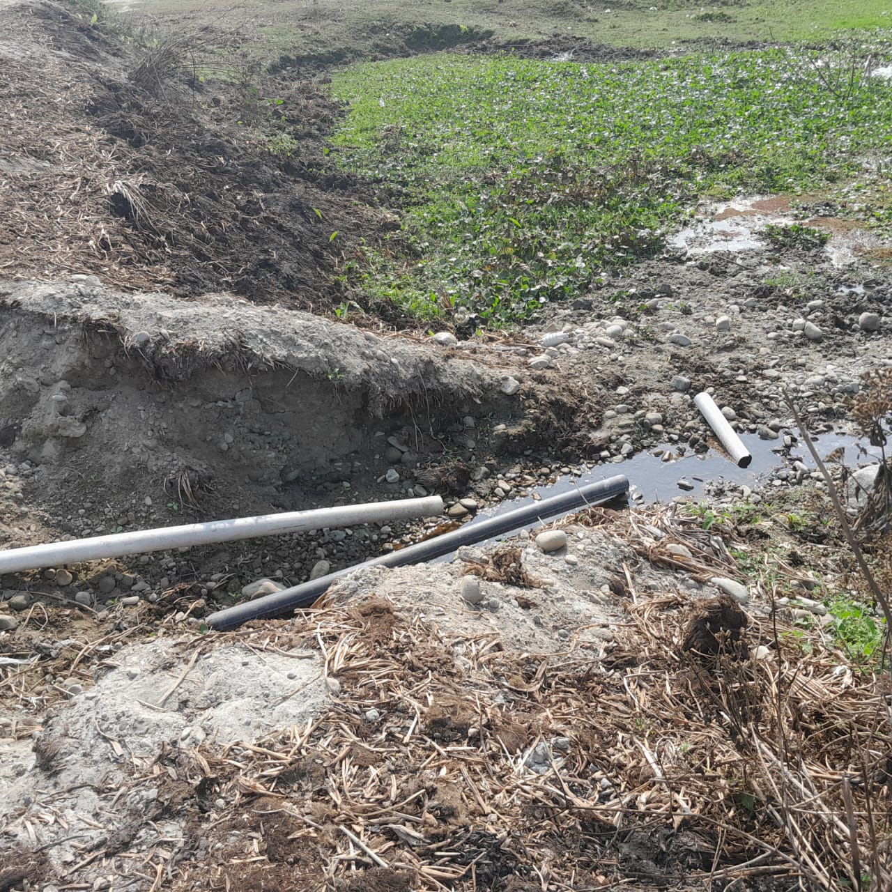
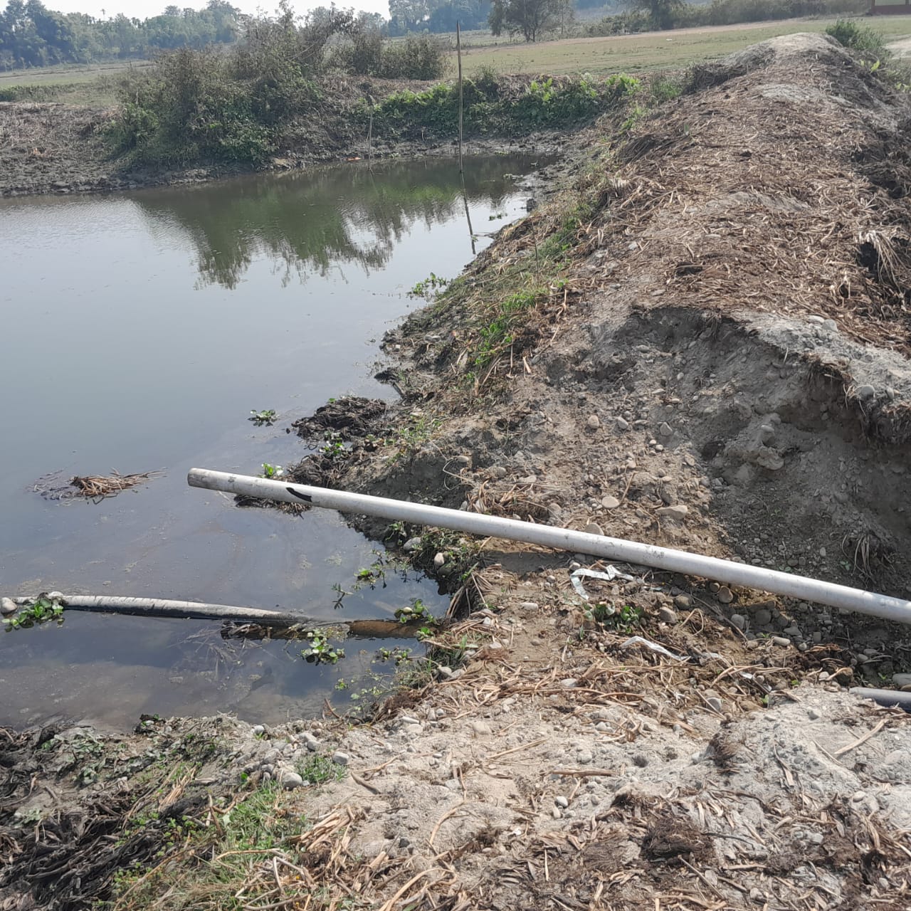
By using GIS-based analysis and scenario modelling, Spatial Decisions has developed a comprehensive climate-resilient flood management plan, which integrates blue-green infrastructure, nature-based solutions, supported by a monitoring and evaluation framework to guide phased implementation.
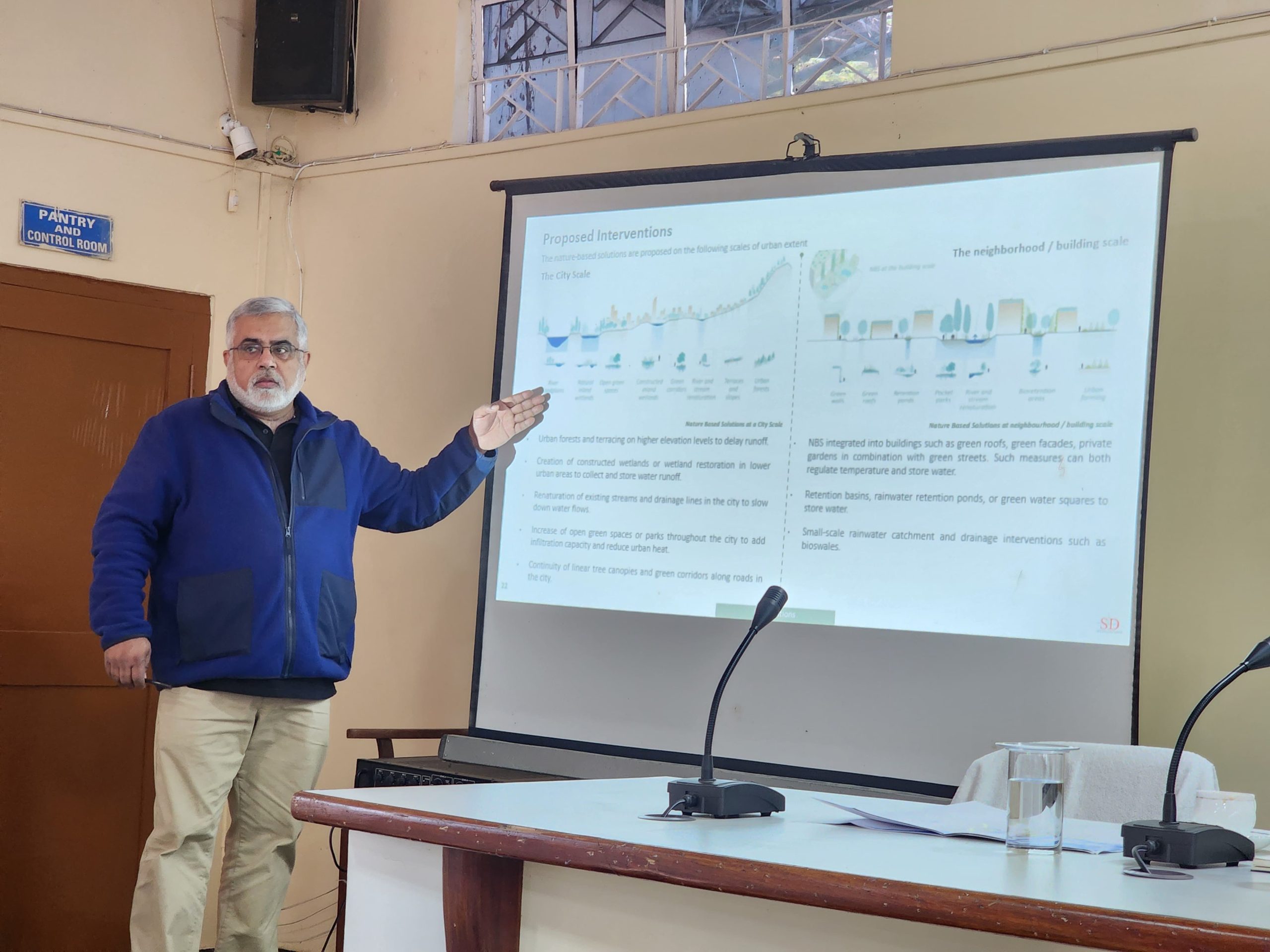
The proposed interventions are expected to reduce stormwater runoff and peak flood impacts while improving urban environmental quality through enhanced green cover, restored wetlands, and open spaces. The project supports long-term urban growth, strengthens local capacity, and provides a clear set of prioritized interventions to facilitate funding and implementation. Together, these outcomes would position Dibrugarh on a resilient development pathway that balances climate adaptation with long-term livability.